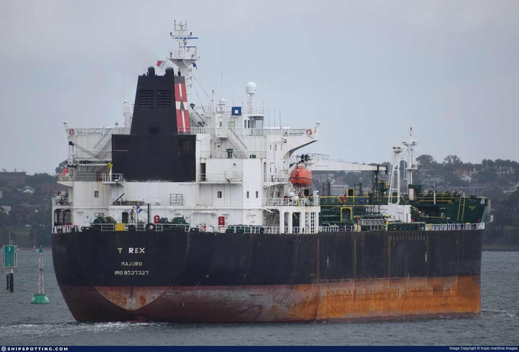
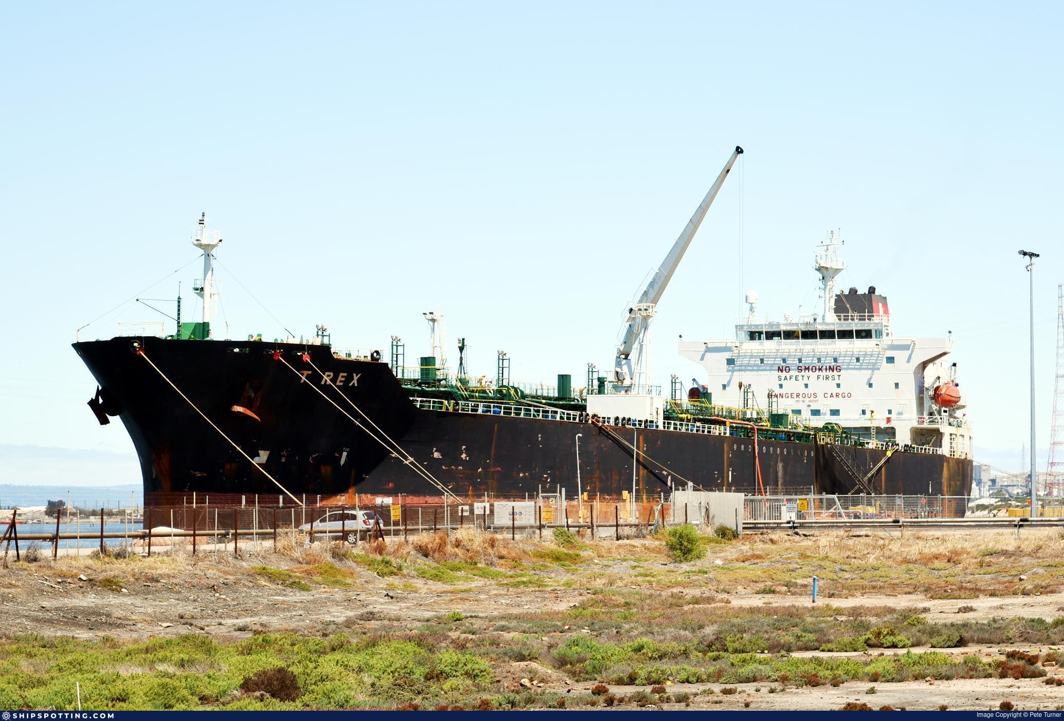
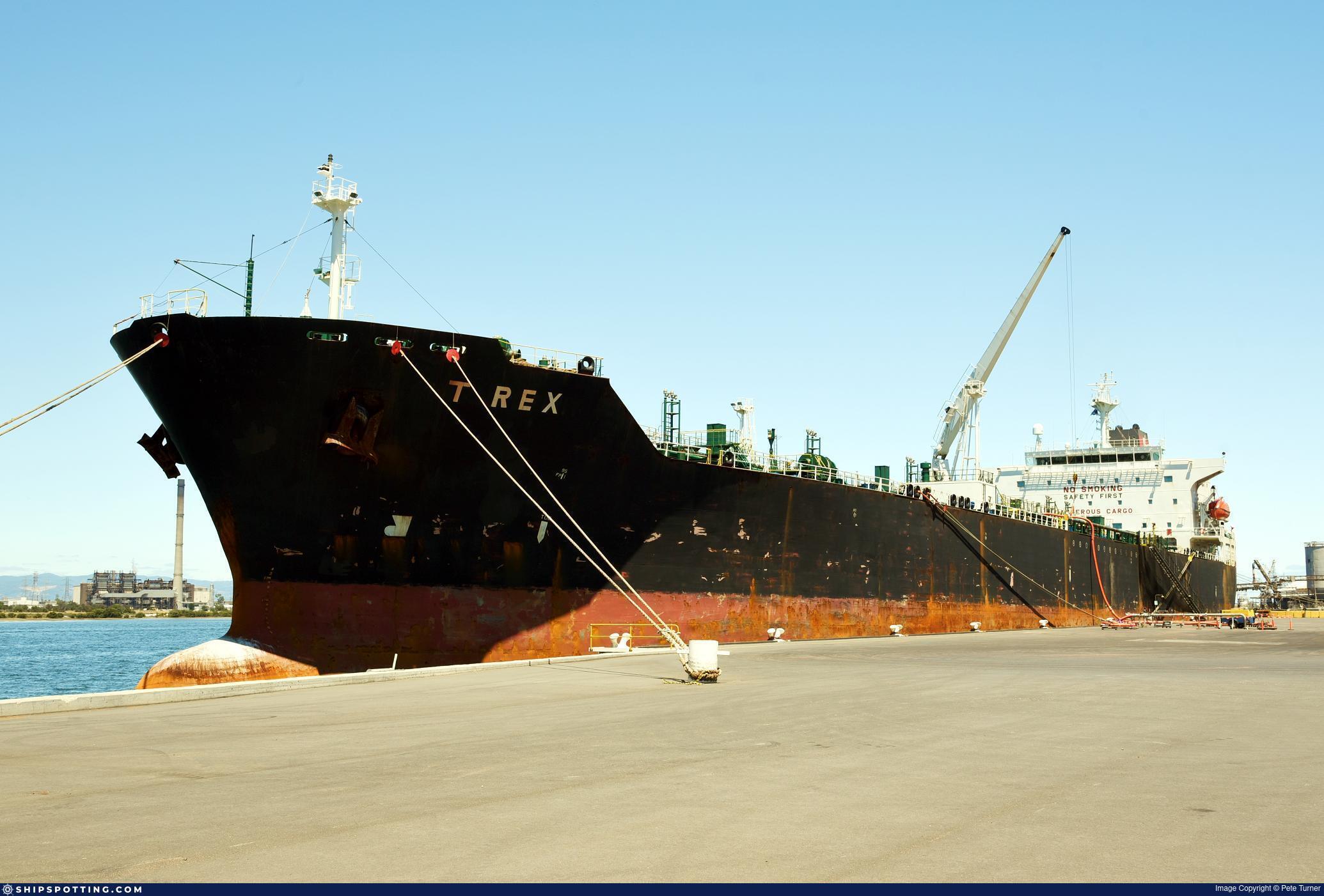
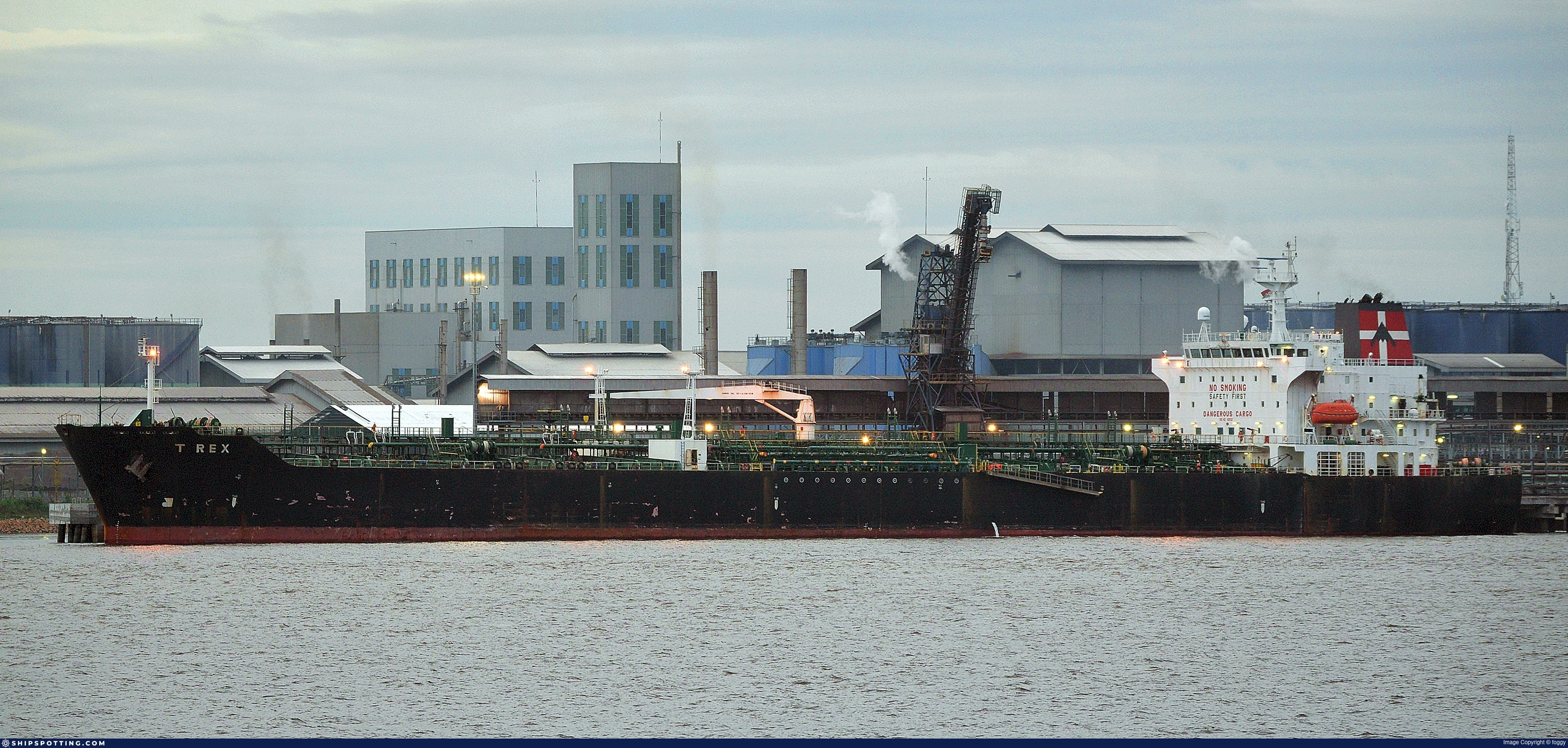
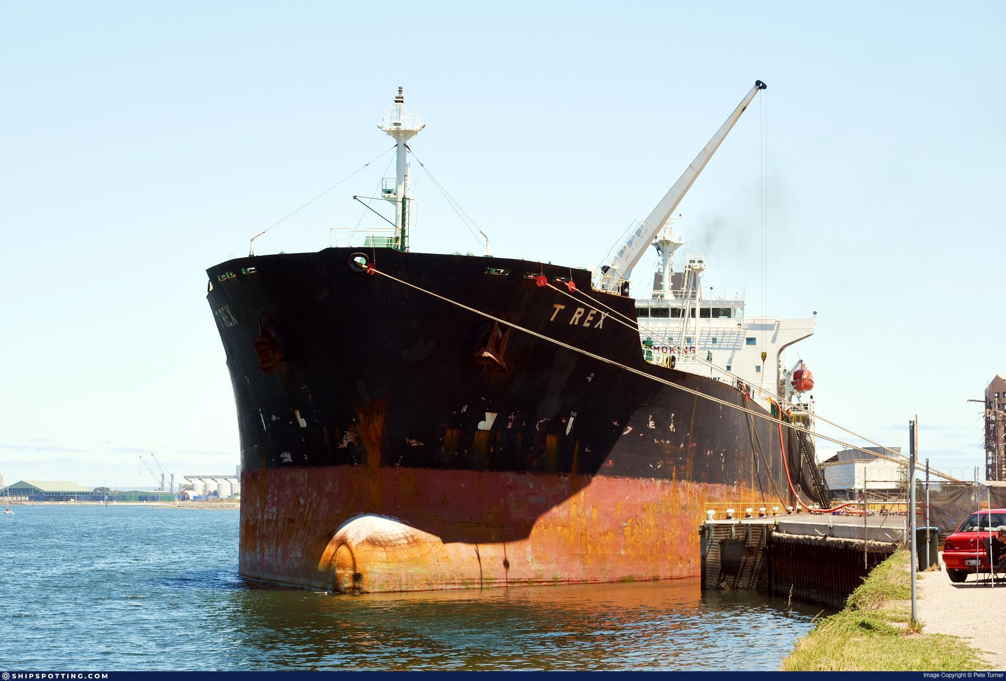
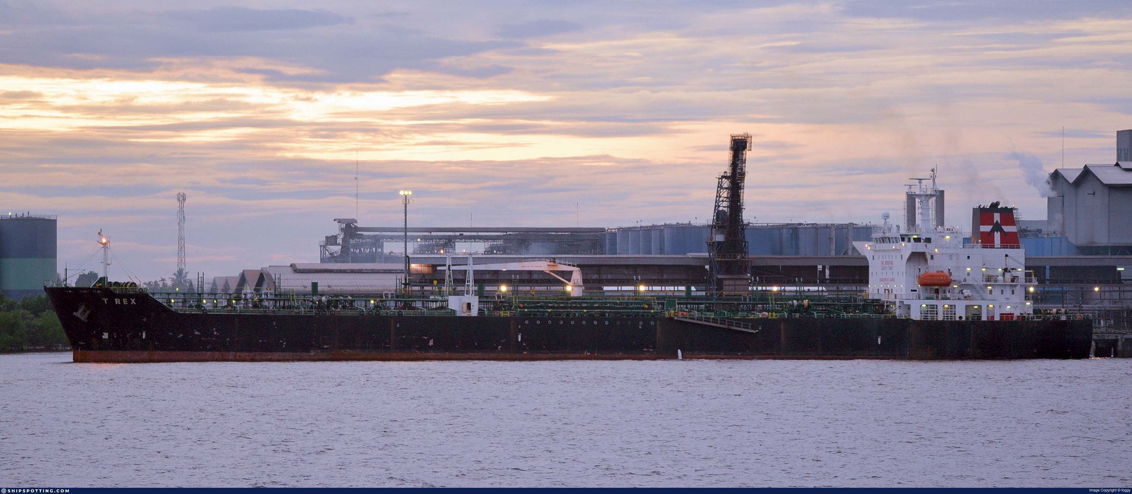
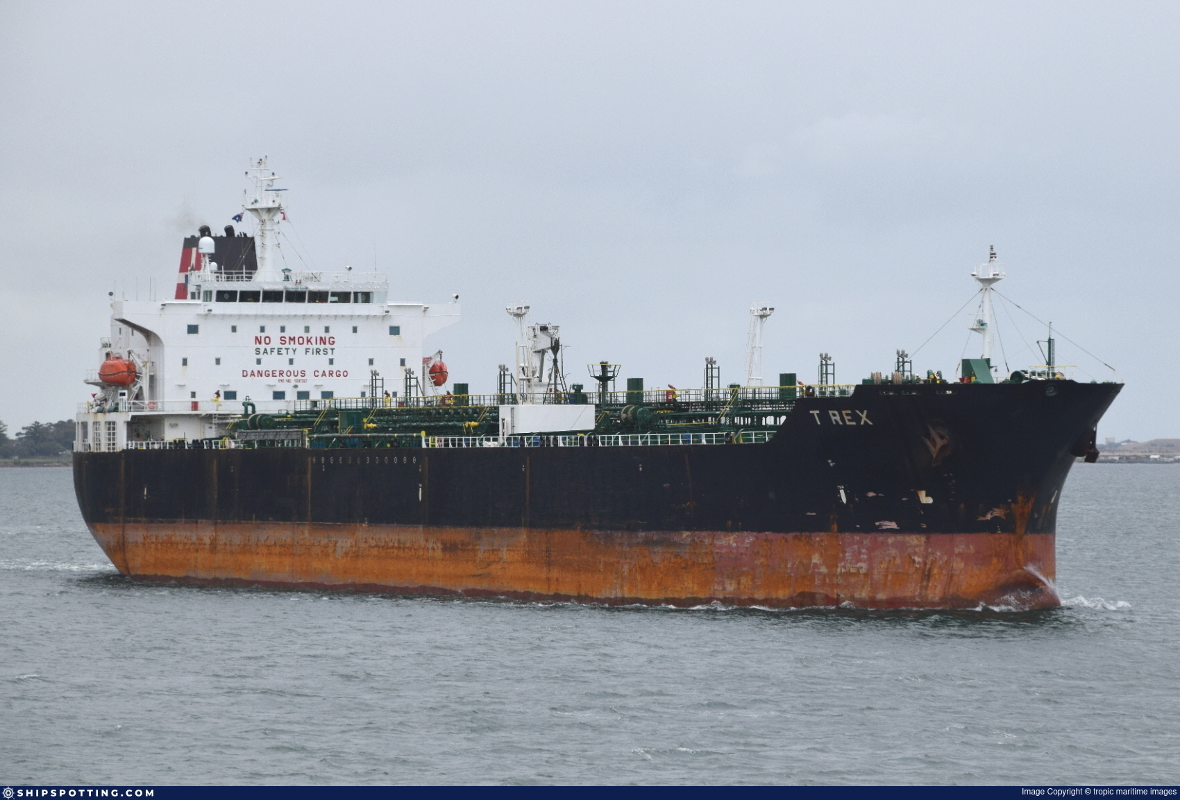
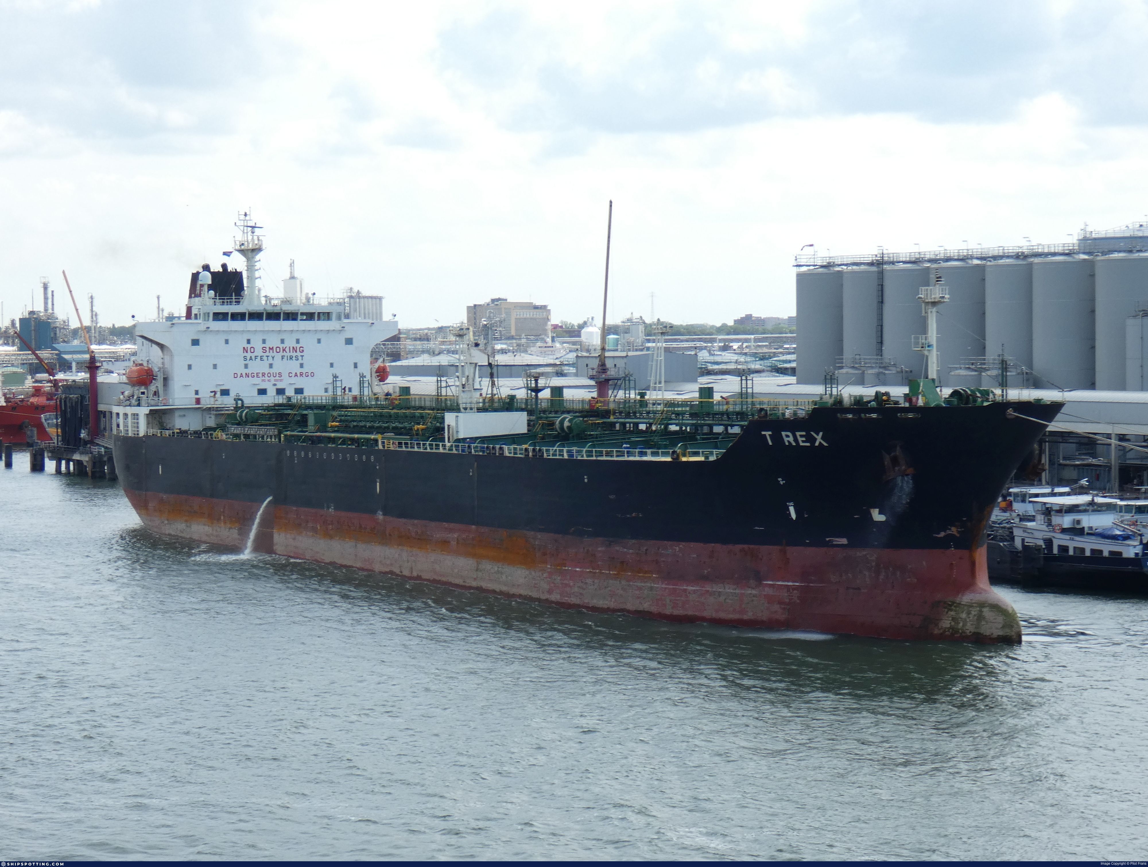
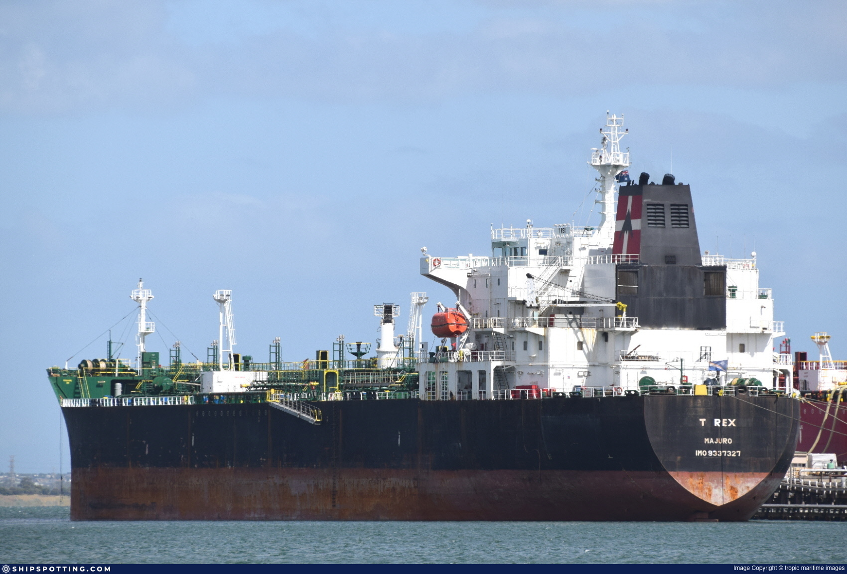
IMO 9337327
Vessel information
Sanctioned by
Company & Ownership
Management & Operations
Classification & Safety
Port State Control (PSC) Inspections
Survey Renewal & Certificates
| Code | Type | Issuer | Issued | Expires |
|---|---|---|---|---|
| 510 | Safety Management Certificate | Bureau Veritas (115) | 29/08/2023 | 23/06/2028 |
| 509 | Document of Compliance | ABS | 04/06/2023 | 04/05/2028 |
Programs & Notes
SEMA (Canada) — vessel designations | The Russia (Sanctions) (EU Exit) Regulations 2019
DateDesignated: 2025-06-17 | Shipping sanctions: (see “Other information”) | Shipping sanctions: a specified ship is prohibited from being provided with access to or having its master or pilot cause it to enter a port in the UK, may have its registration on the UK Ship Register terminated, and a master or pilot of a specified ship may be given a port barring direction, a detention direction, and a port entry direction or a movement direction. | IMO 9337327 (“JAZZ”) is involved in activity whose object or effect is to destabilise Ukraine or undermine or threaten the territorial integrity, sovereignty or independence of Ukraine or to obtain a benefit from or support the Government of Russia. Namely, JAZZ is involved in carrying oil or oil products that originated in Russia from Russia to a third country.
Vessel Changes
 🔄 Owner
 🔄 Owner

 🔄 Owner
 🔄 Owner
AIS Events
30 events detected • 5 zones • Last: Jun 14, 2026
- Zone: Bosphorus/Dardanelles Approach
- Duration: 4h 49m
- Data Points: 38 AIS positions
- Period: 2026-06-14T19:02:04+00:00 to 2026-06-14T23:51:30+00:00
Show Raw Evidence JSON
{
    "zone_id": "osint_bosphorus",
    "zone_name": "Bosphorus\/Dardanelles Approach",
    "dwell_minutes": 289.3999999999999772626324556767940521240234375,
    "points_in_zone": 38,
    "first_point": {
        "ts": "2026-06-14T19:02:04+00:00",
        "lat": 41.38232169999999854326233617030084133148193359375,
        "lon": 29.285284999999998234443410183303058147430419921875
    },
    "last_point": {
        "ts": "2026-06-14T23:51:30+00:00",
        "lat": 40.9189582999999998946805135346949100494384765625,
        "lon": 28.90010829999999941719579510390758514404296875
    }
}- Zone: Bosphorus/Dardanelles Approach
- Duration: 5h 47m
- Data Points: 58 AIS positions
- Period: 2026-06-14T18:03:55+00:00 to 2026-06-14T23:51:30+00:00
Show Raw Evidence JSON
{
    "zone_id": "osint_bosphorus",
    "zone_name": "Bosphorus\/Dardanelles Approach",
    "dwell_minutes": 347.6000000000000227373675443232059478759765625,
    "points_in_zone": 58,
    "first_point": {
        "ts": "2026-06-14T18:03:55+00:00",
        "lat": 41.40551169999999814308466739021241664886474609375,
        "lon": 29.42955669999999912533894530497491359710693359375
    },
    "last_point": {
        "ts": "2026-06-14T23:51:30+00:00",
        "lat": 40.9189582999999998946805135346949100494384765625,
        "lon": 28.90010829999999941719579510390758514404296875
    }
}- Zone: Istanbul Black Sea Surveillance Zone
- Duration: 1h 44m
- Data Points: 40 AIS positions
- Period: 2026-06-14T18:03:55+00:00 to 2026-06-14T19:48:14+00:00
Show Raw Evidence JSON
{
    "zone_id": "discovered_024",
    "zone_name": "Istanbul Black Sea Surveillance Zone",
    "dwell_minutes": 104.2999999999999971578290569595992565155029296875,
    "points_in_zone": 40,
    "first_point": {
        "ts": "2026-06-14T18:03:55+00:00",
        "lat": 41.40551169999999814308466739021241664886474609375,
        "lon": 29.42955669999999912533894530497491359710693359375
    },
    "last_point": {
        "ts": "2026-06-14T19:48:14+00:00",
        "lat": 41.35375169999999656056388630531728267669677734375,
        "lon": 29.17736670000000032132447813637554645538330078125
    }
}- Zone: Bosphorus/Dardanelles Approach
- Duration: 6h 13m
- Data Points: 69 AIS positions
- Period: 2026-06-14T17:37:44+00:00 to 2026-06-14T23:51:30+00:00
Show Raw Evidence JSON
{
    "zone_id": "osint_bosphorus",
    "zone_name": "Bosphorus\/Dardanelles Approach",
    "dwell_minutes": 373.80000000000001136868377216160297393798828125,
    "points_in_zone": 69,
    "first_point": {
        "ts": "2026-06-14T17:37:44+00:00",
        "lat": 41.4128699999999980718712322413921356201171875,
        "lon": 29.495173300000001148646333604119718074798583984375
    },
    "last_point": {
        "ts": "2026-06-14T23:51:30+00:00",
        "lat": 40.9189582999999998946805135346949100494384765625,
        "lon": 28.90010829999999941719579510390758514404296875
    }
}- Zone: Istanbul Black Sea Surveillance Zone
- Duration: 2h 47m
- Data Points: 64 AIS positions
- Period: 2026-06-14T17:00:24+00:00 to 2026-06-14T19:48:14+00:00
Show Raw Evidence JSON
{
    "zone_id": "discovered_024",
    "zone_name": "Istanbul Black Sea Surveillance Zone",
    "dwell_minutes": 167.80000000000001136868377216160297393798828125,
    "points_in_zone": 64,
    "first_point": {
        "ts": "2026-06-14T17:00:24+00:00",
        "lat": 41.42968669999999775654941913671791553497314453125,
        "lon": 29.572243300000000232330421567894518375396728515625
    },
    "last_point": {
        "ts": "2026-06-14T19:48:14+00:00",
        "lat": 41.35375169999999656056388630531728267669677734375,
        "lon": 29.17736670000000032132447813637554645538330078125
    }
}- Zone: Istanbul Black Sea Surveillance Zone
- Duration: 3h 47m
- Data Points: 80 AIS positions
- Period: 2026-06-14T16:00:35+00:00 to 2026-06-14T19:48:14+00:00
Show Raw Evidence JSON
{
    "zone_id": "discovered_024",
    "zone_name": "Istanbul Black Sea Surveillance Zone",
    "dwell_minutes": 227.69999999999998863131622783839702606201171875,
    "points_in_zone": 80,
    "first_point": {
        "ts": "2026-06-14T16:00:35+00:00",
        "lat": 41.43155169999999998253770172595977783203125,
        "lon": 29.572530000000000427462509833276271820068359375
    },
    "last_point": {
        "ts": "2026-06-14T19:48:14+00:00",
        "lat": 41.35375169999999656056388630531728267669677734375,
        "lon": 29.17736670000000032132447813637554645538330078125
    }
}- Duration: 1h 39m
- Radius: 1,135 meters
- Data Points: 22 AIS positions
- Centroid: 41.4306, 29.5723
- Zone: Istanbul Black Sea Surveillance Zone
Show Raw Evidence JSON
{
    "radius_m": 1135,
    "duration_minutes": 99.5,
    "points": 22,
    "centroid": {
        "lat": 41.43060991818182259294189861975610256195068359375,
        "lon": 29.572308495454546317660060594789683818817138671875
    },
    "bbox": {
        "min_lat": 41.42336329999999833262336323969066143035888671875,
        "min_lon": 29.562734999999999985220711096189916133880615234375,
        "max_lat": 41.4346383000000031415765988640487194061279296875,
        "max_lon": 29.581796700000001720809450489468872547149658203125
    },
    "zone_id": "discovered_024"
}- Zone: Istanbul Black Sea Surveillance Zone
- Duration: 4h 48m
- Data Points: 89 AIS positions
- Period: 2026-06-14T15:00:07+00:00 to 2026-06-14T19:48:14+00:00
Show Raw Evidence JSON
{
    "zone_id": "discovered_024",
    "zone_name": "Istanbul Black Sea Surveillance Zone",
    "dwell_minutes": 288.1000000000000227373675443232059478759765625,
    "points_in_zone": 89,
    "first_point": {
        "ts": "2026-06-14T15:00:07+00:00",
        "lat": 41.44503670000000283835106529295444488525390625,
        "lon": 29.64387669999999985748218023218214511871337890625
    },
    "last_point": {
        "ts": "2026-06-14T19:48:14+00:00",
        "lat": 41.35375169999999656056388630531728267669677734375,
        "lon": 29.17736670000000032132447813637554645538330078125
    }
}- Zone: Istanbul Black Sea Surveillance Zone
- Duration: 5h 46m
- Data Points: 102 AIS positions
- Period: 2026-06-14T14:02:05+00:00 to 2026-06-14T19:48:14+00:00
Show Raw Evidence JSON
{
    "zone_id": "discovered_024",
    "zone_name": "Istanbul Black Sea Surveillance Zone",
    "dwell_minutes": 346.1000000000000227373675443232059478759765625,
    "points_in_zone": 102,
    "first_point": {
        "ts": "2026-06-14T14:02:05+00:00",
        "lat": 41.47351669999999757010300527326762676239013671875,
        "lon": 29.80473500000000086629370343871414661407470703125
    },
    "last_point": {
        "ts": "2026-06-14T19:48:14+00:00",
        "lat": 41.35375169999999656056388630531728267669677734375,
        "lon": 29.17736670000000032132447813637554645538330078125
    }
}- Zone: Istanbul Black Sea Surveillance Zone
- Duration: 6h 20m
- Data Points: 110 AIS positions
- Period: 2026-06-14T13:27:26+00:00 to 2026-06-14T19:48:14+00:00
Show Raw Evidence JSON
{
    "zone_id": "discovered_024",
    "zone_name": "Istanbul Black Sea Surveillance Zone",
    "dwell_minutes": 380.80000000000001136868377216160297393798828125,
    "points_in_zone": 110,
    "first_point": {
        "ts": "2026-06-14T13:27:26+00:00",
        "lat": 41.49607499999999760120772407390177249908447265625,
        "lon": 29.899384999999998768771547474898397922515869140625
    },
    "last_point": {
        "ts": "2026-06-14T19:48:14+00:00",
        "lat": 41.35375169999999656056388630531728267669677734375,
        "lon": 29.17736670000000032132447813637554645538330078125
    }
}- Gap Duration: 6h 24m
- Last Seen: 2026-06-05T05:07:39+00:00 at 41.3551, 29.5992 (Zone: Istanbul Black Sea Surveillance Zone)
- Next Seen: 2026-06-05T11:31:56+00:00 at 41.7708, 31.1903
🛰️ Gap Corroboration
These are snapshots that may corroborate presence during the gap. They do not reconstruct a continuous route.
SAR Imagery (Sentinel-1)
Status: ✗ No SAR coverage
No Sentinel-1 scenes covering corridor and time window
VIIRS Thermal Anomaly
Status: ✓ Signal detected
5 thermal/light anomalies detected
Detections: 5 thermal anomalies
View detections
| Location | Brightness | Time |
|---|---|---|
| 41.2534, 31.4119 | 328.1 K | 2026-06-05T04:05:00+00:00 |
| 41.2661, 31.4267 | 306.3 K | 2026-06-05T04:05:00+00:00 |
| 41.2672, 31.4228 | 304.2 K | 2026-06-05T04:05:00+00:00 |
| 41.2522, 31.4133 | 303.2 K | 2026-06-05T04:05:00+00:00 |
| 41.2583, 31.4142 | 298.5 K | 2026-06-05T04:05:00+00:00 |
Show Raw Evidence JSON
{
    "gap_minutes": 384.30000000000001136868377216160297393798828125,
    "last_seen": {
        "ts": "2026-06-05T05:07:39+00:00",
        "lat": 41.3550632999999976391336531378328800201416015625,
        "lon": 29.599209999999999354258761741220951080322265625,
        "sog": 12,
        "zone_id": "discovered_024"
    },
    "next_seen": {
        "ts": "2026-06-05T11:31:56+00:00",
        "lat": 41.77080500000000284899215330369770526885986328125,
        "lon": 31.19030169999999912988641881383955478668212890625,
        "zone_ids": [
            "discovered_043"
        ]
    },
    "gap_enrichment": {
        "status": "done",
        "corridor": {
            "start": {
                "lat": 41.3550632999999976391336531378328800201416015625,
                "lon": 29.599209999999999354258761741220951080322265625,
                "ts": "2026-06-05T05:07:39+00:00"
            },
            "end": {
                "lat": 41.77080500000000284899215330369770526885986328125,
                "lon": 31.19030169999999912988641881383955478668212890625,
                "ts": "2026-06-05T11:31:56+00:00"
            },
            "bbox": {
                "min_lat": 41.17488300000000123191057355143129825592041015625,
                "min_lon": 29.3584010000000006357367965392768383026123046875,
                "max_lat": 41.95098500000000285581336356699466705322265625,
                "max_lon": 31.4311110000000013542376109398901462554931640625
            },
            "buffer_km": 20
        },
        "sar": {
            "status": "not_found",
            "notes": "No Sentinel-1 scenes covering corridor and time window"
        },
        "viirs": {
            "status": "signal",
            "dataset": "VIIRS_SNPP",
            "detection_count": 5,
            "top_detections": [
                {
                    "lat": 41.253410000000002355591277591884136199951171875,
                    "lon": 31.4118500000000011596057447604835033416748046875,
                    "brightness": 328.1399999999999863575794734060764312744140625,
                    "frp": 2.04000000000000003552713678800500929355621337890625,
                    "confidence": "n",
                    "acq_date": "2026-06-05",
                    "acq_time": "45",
                    "satellite": "N",
                    "daynight": "N",
                    "acq_datetime": "2026-06-05T04:05:00+00:00"
                },
                {
                    "lat": 41.26610000000000155750967678613960742950439453125,
                    "lon": 31.426700000000000301270119962282478809356689453125,
                    "brightness": 306.33999999999997498889570124447345733642578125,
                    "frp": 0.729999999999999982236431605997495353221893310546875,
                    "confidence": "n",
                    "acq_date": "2026-06-05",
                    "acq_time": "45",
                    "satellite": "N",
                    "daynight": "N",
                    "acq_datetime": "2026-06-05T04:05:00+00:00"
                },
                {
                    "lat": 41.2671500000000008867573342286050319671630859375,
                    "lon": 31.422799999999998732391759403981268405914306640625,
                    "brightness": 304.19999999999998863131622783839702606201171875,
                    "frp": 0.729999999999999982236431605997495353221893310546875,
                    "confidence": "n",
                    "acq_date": "2026-06-05",
                    "acq_time": "45",
                    "satellite": "N",
                    "daynight": "N",
                    "acq_datetime": "2026-06-05T04:05:00+00:00"
                },
                {
                    "lat": 41.25216000000000349245965480804443359375,
                    "lon": 31.413309999999999178044163272716104984283447265625,
                    "brightness": 303.18999999999999772626324556767940521240234375,
                    "frp": 1.1100000000000000976996261670137755572795867919921875,
                    "confidence": "n",
                    "acq_date": "2026-06-05",
                    "acq_time": "45",
                    "satellite": "N",
                    "daynight": "N",
                    "acq_datetime": "2026-06-05T04:05:00+00:00"
                },
                {
                    "lat": 41.25833999999999690544427721761167049407958984375,
                    "lon": 31.4142200000000002546585164964199066162109375,
                    "brightness": 298.470000000000027284841053187847137451171875,
                    "frp": 0.4699999999999999733546474089962430298328399658203125,
                    "confidence": "n",
                    "acq_date": "2026-06-05",
                    "acq_time": "45",
                    "satellite": "N",
                    "daynight": "N",
                    "acq_datetime": "2026-06-05T04:05:00+00:00"
                }
            ],
            "notes": "5 thermal\/light anomalies detected"
        },
        "searched_at": "2026-06-05T11:45:01.720403+00:00"
    }
}- Zone: Istanbul Black Sea Surveillance Zone
- Duration: 1h 6m
- Data Points: 39 AIS positions
- Period: 2026-06-05T04:01:10+00:00 to 2026-06-05T05:07:39+00:00
Show Raw Evidence JSON
{
    "zone_id": "discovered_024",
    "zone_name": "Istanbul Black Sea Surveillance Zone",
    "dwell_minutes": 66.5,
    "points_in_zone": 39,
    "first_point": {
        "ts": "2026-06-05T04:01:10+00:00",
        "lat": 41.28365000000000151203494169749319553375244140625,
        "lon": 29.32661999999999835608832654543220996856689453125
    },
    "last_point": {
        "ts": "2026-06-05T05:07:39+00:00",
        "lat": 41.3550632999999976391336531378328800201416015625,
        "lon": 29.599209999999999354258761741220951080322265625
    }
}- Zone: Bosphorus/Dardanelles Approach
- Duration: 1h 34m
- Data Points: 41 AIS positions
- Period: 2026-06-05T03:06:10+00:00 to 2026-06-05T04:40:19+00:00
Show Raw Evidence JSON
{
    "zone_id": "osint_bosphorus",
    "zone_name": "Bosphorus\/Dardanelles Approach",
    "dwell_minutes": 94.2000000000000028421709430404007434844970703125,
    "points_in_zone": 41,
    "first_point": {
        "ts": "2026-06-05T03:06:10+00:00",
        "lat": 41.20738329999999649544406565837562084197998046875,
        "lon": 29.11961670000000168556653079576790332794189453125
    },
    "last_point": {
        "ts": "2026-06-05T04:40:19+00:00",
        "lat": 41.32362169999999679248503525741398334503173828125,
        "lon": 29.485343300000000255067789112217724323272705078125
    }
}- Zone: Istanbul Black Sea Surveillance Zone
- Duration: 2h 1m
- Data Points: 57 AIS positions
- Period: 2026-06-05T03:06:10+00:00 to 2026-06-05T05:07:39+00:00
Show Raw Evidence JSON
{
    "zone_id": "discovered_024",
    "zone_name": "Istanbul Black Sea Surveillance Zone",
    "dwell_minutes": 121.5,
    "points_in_zone": 57,
    "first_point": {
        "ts": "2026-06-05T03:06:10+00:00",
        "lat": 41.20738329999999649544406565837562084197998046875,
        "lon": 29.11961670000000168556653079576790332794189453125
    },
    "last_point": {
        "ts": "2026-06-05T05:07:39+00:00",
        "lat": 41.3550632999999976391336531378328800201416015625,
        "lon": 29.599209999999999354258761741220951080322265625
    }
}- Zone: Bosphorus/Dardanelles Approach
- Duration: 3h 38m
- Data Points: 43 AIS positions
- Period: 2026-06-05T01:02:13+00:00 to 2026-06-05T04:40:19+00:00
Show Raw Evidence JSON
{
    "zone_id": "osint_bosphorus",
    "zone_name": "Bosphorus\/Dardanelles Approach",
    "dwell_minutes": 218.099999999999994315658113919198513031005859375,
    "points_in_zone": 43,
    "first_point": {
        "ts": "2026-06-05T01:02:13+00:00",
        "lat": 40.94380170000000163099684868939220905303955078125,
        "lon": 28.981526699999999863166522118262946605682373046875
    },
    "last_point": {
        "ts": "2026-06-05T04:40:19+00:00",
        "lat": 41.32362169999999679248503525741398334503173828125,
        "lon": 29.485343300000000255067789112217724323272705078125
    }
}- Zone: Bosphorus/Dardanelles Approach
- Duration: 3h 54m
- Data Points: 46 AIS positions
- Period: 2026-06-05T00:46:05+00:00 to 2026-06-05T04:40:19+00:00
Show Raw Evidence JSON
{
    "zone_id": "osint_bosphorus",
    "zone_name": "Bosphorus\/Dardanelles Approach",
    "dwell_minutes": 234.19999999999998863131622783839702606201171875,
    "points_in_zone": 46,
    "first_point": {
        "ts": "2026-06-05T00:46:05+00:00",
        "lat": 40.91910169999999880019458942115306854248046875,
        "lon": 28.956431699999999551664586761035025119781494140625
    },
    "last_point": {
        "ts": "2026-06-05T04:40:19+00:00",
        "lat": 41.32362169999999679248503525741398334503173828125,
        "lon": 29.485343300000000255067789112217724323272705078125
    }
}- Zone: Bosphorus/Dardanelles Approach
- Duration: 5h 36m
- Data Points: 53 AIS positions
- Period: 2026-06-04T23:04:14+00:00 to 2026-06-05T04:40:19+00:00
Show Raw Evidence JSON
{
    "zone_id": "osint_bosphorus",
    "zone_name": "Bosphorus\/Dardanelles Approach",
    "dwell_minutes": 336.1000000000000227373675443232059478759765625,
    "points_in_zone": 53,
    "first_point": {
        "ts": "2026-06-04T23:04:14+00:00",
        "lat": 40.84122330000000289373929263092577457427978515625,
        "lon": 28.90591500000000024783730623312294483184814453125
    },
    "last_point": {
        "ts": "2026-06-05T04:40:19+00:00",
        "lat": 41.32362169999999679248503525741398334503173828125,
        "lon": 29.485343300000000255067789112217724323272705078125
    }
}- Zone: Bosphorus/Dardanelles Approach
- Duration: 5h 53m
- Data Points: 56 AIS positions
- Period: 2026-06-04T22:47:07+00:00 to 2026-06-05T04:40:19+00:00
Show Raw Evidence JSON
{
    "zone_id": "osint_bosphorus",
    "zone_name": "Bosphorus\/Dardanelles Approach",
    "dwell_minutes": 353.19999999999998863131622783839702606201171875,
    "points_in_zone": 56,
    "first_point": {
        "ts": "2026-06-04T22:47:07+00:00",
        "lat": 40.83950829999999854180714464746415615081787109375,
        "lon": 28.9054967000000004873072612099349498748779296875
    },
    "last_point": {
        "ts": "2026-06-05T04:40:19+00:00",
        "lat": 41.32362169999999679248503525741398334503173828125,
        "lon": 29.485343300000000255067789112217724323272705078125
    }
}- Zone: Bosphorus/Dardanelles Approach
- Duration: 6h 32m
- Data Points: 5 AIS positions
- Period: 2026-06-04T16:31:19+00:00 to 2026-06-04T23:04:14+00:00
Show Raw Evidence JSON
{
    "zone_id": "osint_bosphorus",
    "zone_name": "Bosphorus\/Dardanelles Approach",
    "dwell_minutes": 392.8999999999999772626324556767940521240234375,
    "points_in_zone": 5,
    "first_point": {
        "ts": "2026-06-04T16:31:19+00:00",
        "lat": 40.94140829999999908750396571122109889984130859375,
        "lon": 28.750834999999998586872607120312750339508056640625
    },
    "last_point": {
        "ts": "2026-06-04T23:04:14+00:00",
        "lat": 40.84122330000000289373929263092577457427978515625,
        "lon": 28.90591500000000024783730623312294483184814453125
    }
}- Gap Duration: 6h 15m
- Last Seen: 2026-06-04T16:31:19+00:00 at 40.9414, 28.7508 (Zone: Bosphorus/Dardanelles Approach)
- Next Seen: 2026-06-04T22:47:07+00:00 at 40.8395, 28.9055
🛰️ Gap Corroboration
These are snapshots that may corroborate presence during the gap. They do not reconstruct a continuous route.
SAR Imagery (Sentinel-1)
Status: ✗ No SAR coverage
No Sentinel-1 scenes covering corridor and time window
VIIRS Thermal Anomaly
Status: ✗ No detections
No VIIRS thermal/light detections in corridor
Show Raw Evidence JSON
{
    "gap_minutes": 375.80000000000001136868377216160297393798828125,
    "last_seen": {
        "ts": "2026-06-04T16:31:19+00:00",
        "lat": 40.94140829999999908750396571122109889984130859375,
        "lon": 28.750834999999998586872607120312750339508056640625,
        "sog": 8.0999999999999996447286321199499070644378662109375,
        "zone_id": "osint_bosphorus"
    },
    "next_seen": {
        "ts": "2026-06-04T22:47:07+00:00",
        "lat": 40.83950829999999854180714464746415615081787109375,
        "lon": 28.9054967000000004873072612099349498748779296875,
        "zone_ids": [
            "osint_bosphorus"
        ]
    },
    "gap_enrichment": {
        "status": "not_found",
        "corridor": {
            "start": {
                "lat": 40.94140829999999908750396571122109889984130859375,
                "lon": 28.750834999999998586872607120312750339508056640625,
                "ts": "2026-06-04T16:31:19+00:00"
            },
            "end": {
                "lat": 40.83950829999999854180714464746415615081787109375,
                "lon": 28.9054967000000004873072612099349498748779296875,
                "ts": "2026-06-04T22:47:07+00:00"
            },
            "bbox": {
                "min_lat": 40.6593280000000021345840650610625743865966796875,
                "min_lon": 28.5124899999999996680344338528811931610107421875,
                "max_lat": 41.121588000000002693923306651413440704345703125,
                "max_lon": 29.14384199999999935926098260097205638885498046875
            },
            "buffer_km": 20
        },
        "sar": {
            "status": "not_found",
            "notes": "No Sentinel-1 scenes covering corridor and time window"
        },
        "viirs": {
            "status": "not_found",
            "notes": "No VIIRS thermal\/light detections in corridor"
        },
        "searched_at": "2026-06-04T23:00:01.609749+00:00"
    }
}- Zone: Bosphorus/Dardanelles Approach
- Duration: 1h 15m
- Data Points: 2 AIS positions
- Period: 2026-06-04T15:15:46+00:00 to 2026-06-04T16:31:19+00:00
Show Raw Evidence JSON
{
    "zone_id": "osint_bosphorus",
    "zone_name": "Bosphorus\/Dardanelles Approach",
    "dwell_minutes": 75.5,
    "points_in_zone": 2,
    "first_point": {
        "ts": "2026-06-04T15:15:46+00:00",
        "lat": 40.95780500000000046156856114976108074188232421875,
        "lon": 28.737971699999999231067704386077821254730224609375
    },
    "last_point": {
        "ts": "2026-06-04T16:31:19+00:00",
        "lat": 40.94140829999999908750396571122109889984130859375,
        "lon": 28.750834999999998586872607120312750339508056640625
    }
}- Zone: Bosphorus/Dardanelles Approach
- Duration: 1h 35m
- Data Points: 3 AIS positions
- Period: 2026-06-04T14:55:47+00:00 to 2026-06-04T16:31:19+00:00
Show Raw Evidence JSON
{
    "zone_id": "osint_bosphorus",
    "zone_name": "Bosphorus\/Dardanelles Approach",
    "dwell_minutes": 95.5,
    "points_in_zone": 3,
    "first_point": {
        "ts": "2026-06-04T14:55:47+00:00",
        "lat": 40.9579982999999998583007254637777805328369140625,
        "lon": 28.73842330000000089285094873048365116119384765625
    },
    "last_point": {
        "ts": "2026-06-04T16:31:19+00:00",
        "lat": 40.94140829999999908750396571122109889984130859375,
        "lon": 28.750834999999998586872607120312750339508056640625
    }
}- Zone: Central Atlantic Surveillance Zone
- Duration: 1h 49m
- Data Points: 69 AIS positions
- Period: 2026-05-30T23:00:53+00:00 to 2026-05-31T00:50:33+00:00
Show Raw Evidence JSON
{
    "zone_id": "discovered_088",
    "zone_name": "Central Atlantic Surveillance Zone",
    "dwell_minutes": 109.7000000000000028421709430404007434844970703125,
    "points_in_zone": 69,
    "first_point": {
        "ts": "2026-05-30T23:00:53+00:00",
        "lat": 37.139409999999998035491444170475006103515625,
        "lon": 26.12581000000000130967237055301666259765625
    },
    "last_point": {
        "ts": "2026-05-31T00:50:33+00:00",
        "lat": 37.4663417000000009693394531495869159698486328125,
        "lon": 25.911546699999998821795088588260114192962646484375
    }
}- Zone: Central Atlantic Surveillance Zone
- Duration: 2h 6m
- Data Points: 79 AIS positions
- Period: 2026-05-30T22:43:43+00:00 to 2026-05-31T00:50:33+00:00
Show Raw Evidence JSON
{
    "zone_id": "discovered_088",
    "zone_name": "Central Atlantic Surveillance Zone",
    "dwell_minutes": 126.7999999999999971578290569595992565155029296875,
    "points_in_zone": 79,
    "first_point": {
        "ts": "2026-05-30T22:43:43+00:00",
        "lat": 37.0886033000000026049747248180210590362548828125,
        "lon": 26.15564499999999981127984938211739063262939453125
    },
    "last_point": {
        "ts": "2026-05-31T00:50:33+00:00",
        "lat": 37.4663417000000009693394531495869159698486328125,
        "lon": 25.911546699999998821795088588260114192962646484375
    }
}- Zone: Crimean Peninsula Surveillance Zone
- Duration: 1h 35m
- Data Points: 59 AIS positions
- Period: 2026-05-30T22:03:34+00:00 to 2026-05-30T23:38:33+00:00
Show Raw Evidence JSON
{
    "zone_id": "discovered_086",
    "zone_name": "Eastern Mediterranean Sanctioned Vessel Zone",
    "dwell_minutes": 95,
    "points_in_zone": 59,
    "first_point": {
        "ts": "2026-05-30T22:03:34+00:00",
        "lat": 36.969515000000001236912794411182403564453125,
        "lon": 26.231609999999999871533873374573886394500732421875
    },
    "last_point": {
        "ts": "2026-05-30T23:38:33+00:00",
        "lat": 37.24948830000000299378370982594788074493408203125,
        "lon": 26.057715000000001737134880386292934417724609375
    }
}- Zone: Crimean Peninsula Surveillance Zone
- Duration: 2h 28m
- Data Points: 75 AIS positions
- Period: 2026-05-30T21:09:56+00:00 to 2026-05-30T23:38:33+00:00
Show Raw Evidence JSON
{
    "zone_id": "discovered_086",
    "zone_name": "Eastern Mediterranean Sanctioned Vessel Zone",
    "dwell_minutes": 148.599999999999994315658113919198513031005859375,
    "points_in_zone": 75,
    "first_point": {
        "ts": "2026-05-30T21:09:56+00:00",
        "lat": 36.84958499999999759211277705617249011993408203125,
        "lon": 26.38903669999999834772097528912127017974853515625
    },
    "last_point": {
        "ts": "2026-05-30T23:38:33+00:00",
        "lat": 37.24948830000000299378370982594788074493408203125,
        "lon": 26.057715000000001737134880386292934417724609375
    }
}- Zone: Crimean Peninsula Surveillance Zone
- Duration: 3h 35m
- Data Points: 80 AIS positions
- Period: 2026-05-30T20:02:59+00:00 to 2026-05-30T23:38:33+00:00
Show Raw Evidence JSON
{
    "zone_id": "discovered_086",
    "zone_name": "Eastern Mediterranean Sanctioned Vessel Zone",
    "dwell_minutes": 215.599999999999994315658113919198513031005859375,
    "points_in_zone": 80,
    "first_point": {
        "ts": "2026-05-30T20:02:59+00:00",
        "lat": 36.69262499999999960209606797434389591217041015625,
        "lon": 26.58381669999999985520844347774982452392578125
    },
    "last_point": {
        "ts": "2026-05-30T23:38:33+00:00",
        "lat": 37.24948830000000299378370982594788074493408203125,
        "lon": 26.057715000000001737134880386292934417724609375
    }
}- Zone: Crimean Peninsula Surveillance Zone
- Duration: 4h 36m
- Data Points: 100 AIS positions
- Period: 2026-05-30T19:01:39+00:00 to 2026-05-30T23:38:33+00:00
Show Raw Evidence JSON
{
    "zone_id": "discovered_086",
    "zone_name": "Eastern Mediterranean Sanctioned Vessel Zone",
    "dwell_minutes": 276.8999999999999772626324556767940521240234375,
    "points_in_zone": 100,
    "first_point": {
        "ts": "2026-05-30T19:01:39+00:00",
        "lat": 36.52933999999999770125214126892387866973876953125,
        "lon": 26.7218017000000003235982148908078670501708984375
    },
    "last_point": {
        "ts": "2026-05-30T23:38:33+00:00",
        "lat": 37.24948830000000299378370982594788074493408203125,
        "lon": 26.057715000000001737134880386292934417724609375
    }
}- Zone: Crimean Peninsula Surveillance Zone
- Duration: 5h 23m
- Data Points: 108 AIS positions
- Period: 2026-05-30T18:15:20+00:00 to 2026-05-30T23:38:33+00:00
Show Raw Evidence JSON
{
    "zone_id": "discovered_086",
    "zone_name": "Eastern Mediterranean Sanctioned Vessel Zone",
    "dwell_minutes": 323.19999999999998863131622783839702606201171875,
    "points_in_zone": 108,
    "first_point": {
        "ts": "2026-05-30T18:15:20+00:00",
        "lat": 36.48846499999999792862581671215593814849853515625,
        "lon": 26.778711699999998785415300517342984676361083984375
    },
    "last_point": {
        "ts": "2026-05-30T23:38:33+00:00",
        "lat": 37.24948830000000299378370982594788074493408203125,
        "lon": 26.057715000000001737134880386292934417724609375
    }
}- Zone: Brittany Coast Surveillance Zone
- Duration: 2h 2m
- Data Points: 5 AIS positions
- Period: 2026-05-30T13:53:33+00:00 to 2026-05-30T15:56:13+00:00
Show Raw Evidence JSON
{
    "zone_id": "discovered_070",
    "zone_name": "Brittany Coast Surveillance Zone",
    "dwell_minutes": 122.7000000000000028421709430404007434844970703125,
    "points_in_zone": 5,
    "first_point": {
        "ts": "2026-05-30T13:53:33+00:00",
        "lat": 35.8684616999999974495949572883546352386474609375,
        "lon": 27.452908300000000707541403244249522686004638671875
    },
    "last_point": {
        "ts": "2026-05-30T15:56:13+00:00",
        "lat": 36.1614833000000004403773345984518527984619140625,
        "lon": 27.103635000000000587760951020754873752593994140625
    }
}Source snapshot
| Sanctioner | As of | Entity ID |
|---|---|---|
| 🇬🇧 UK | 2025-09-29 | 9337327 |
We mirror official lists; always verify at the source.
Sanctioned on the same day
- ASTORIA · IMO 9166314 🇨🇦 CA🇪🇺 EU🇬🇧 UK
- Cheng He · IMO 9304629 🇨🇦 CA🇪🇺 EU🇳🇿 NZ🇬🇧 UK
- DORRY · IMO 9298595 🇨🇦 CA🇪🇺 EU🇬🇧 UK
- Evita · IMO 9408530 🇨🇦 CA🇪🇺 EU🇬🇧 UK
- Feliks · IMO 9459242 🇨🇦 CA🇪🇺 EU🇬🇧 UK
- Gogland · IMO 9430210 🇨🇦 CA🇪🇺 EU🇬🇧 UK
- Kaluga · IMO 9585924 🇨🇦 CA🇪🇺 EU🇬🇧 UK
- Kylo · IMO 9189146 🇨🇦 CA🇪🇺 EU🇳🇿 NZ🇬🇧 UK