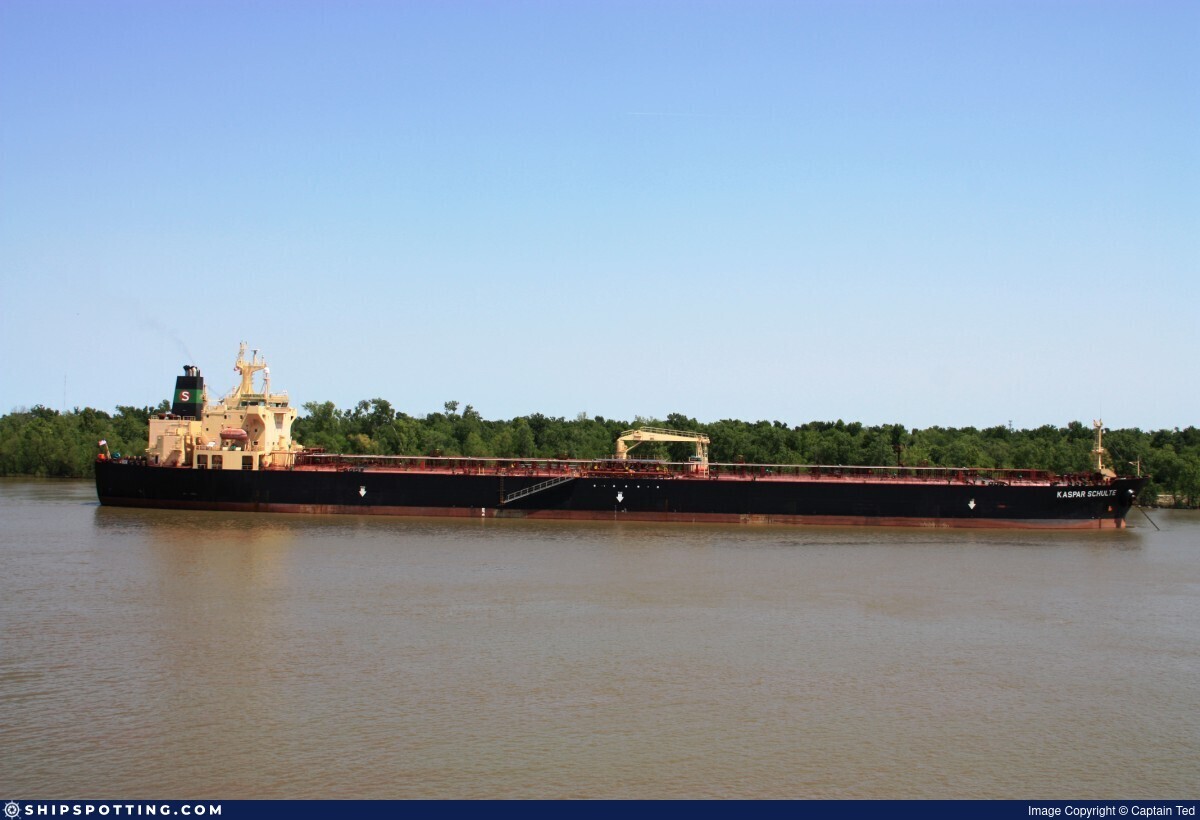
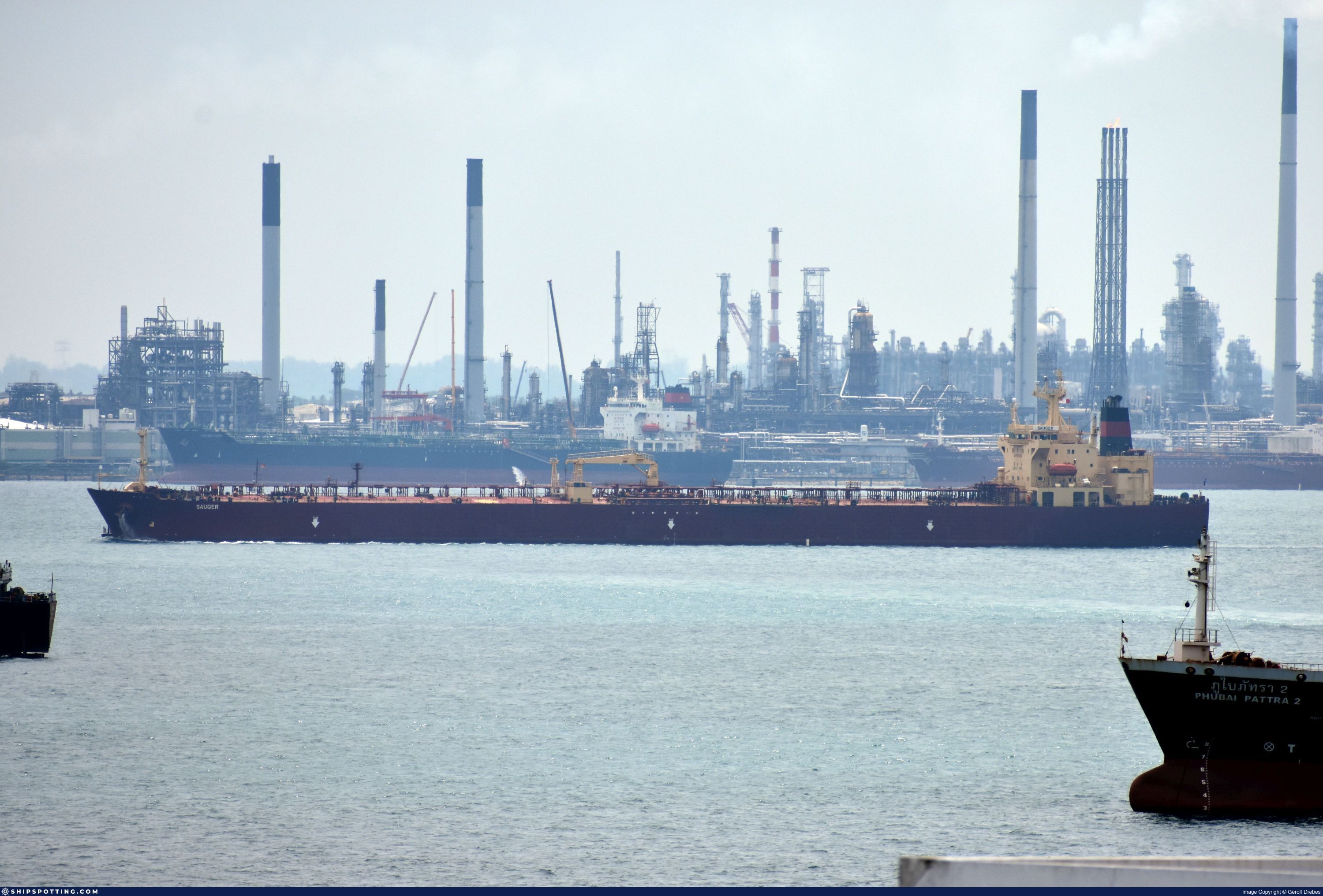
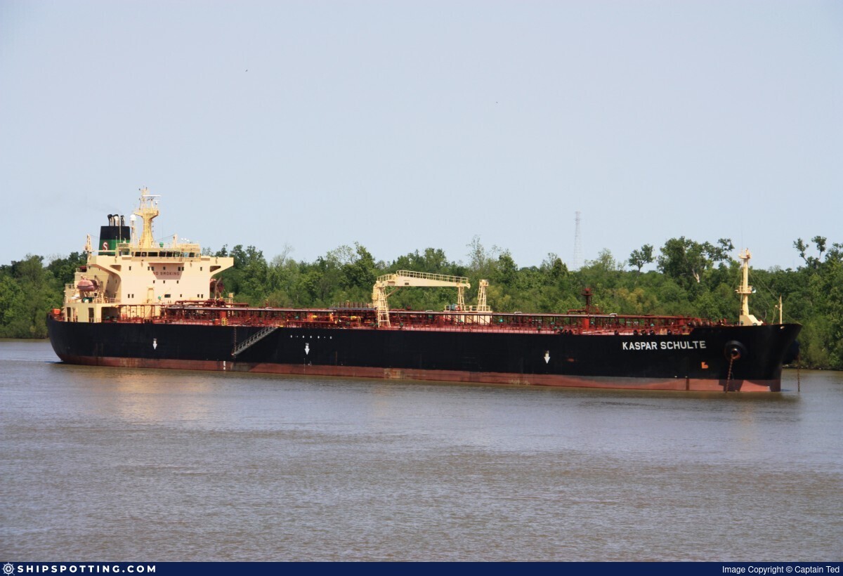
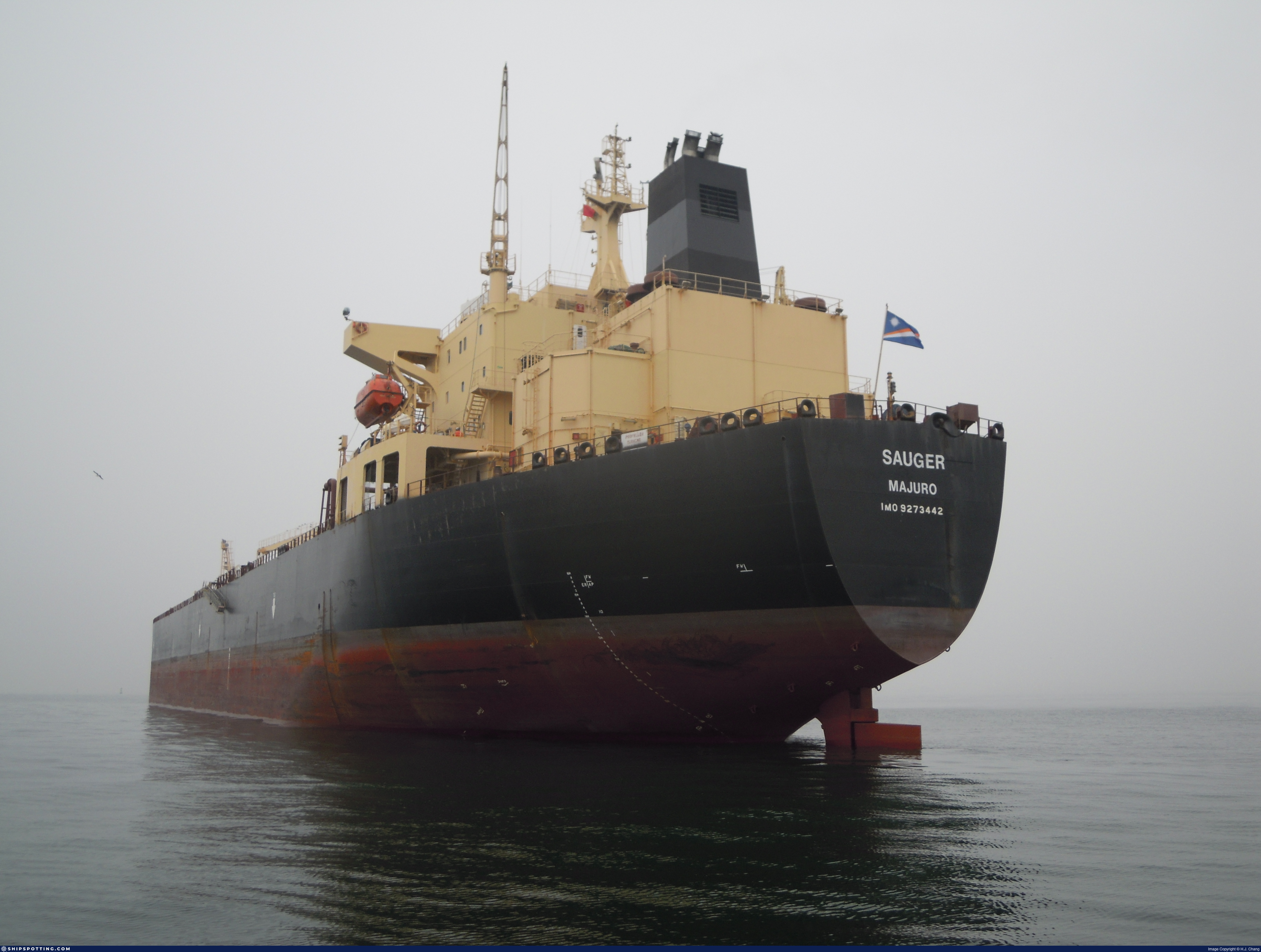
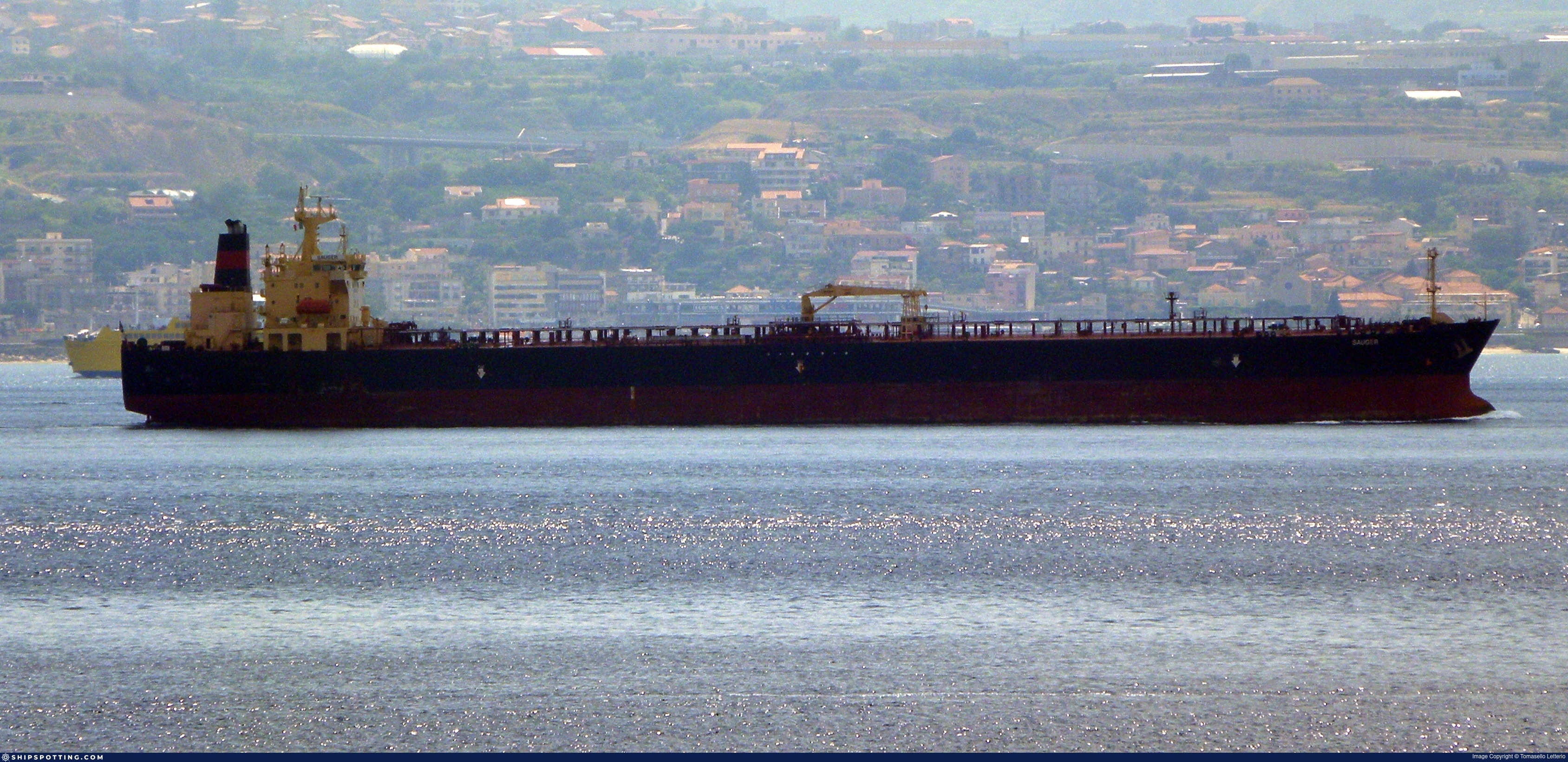
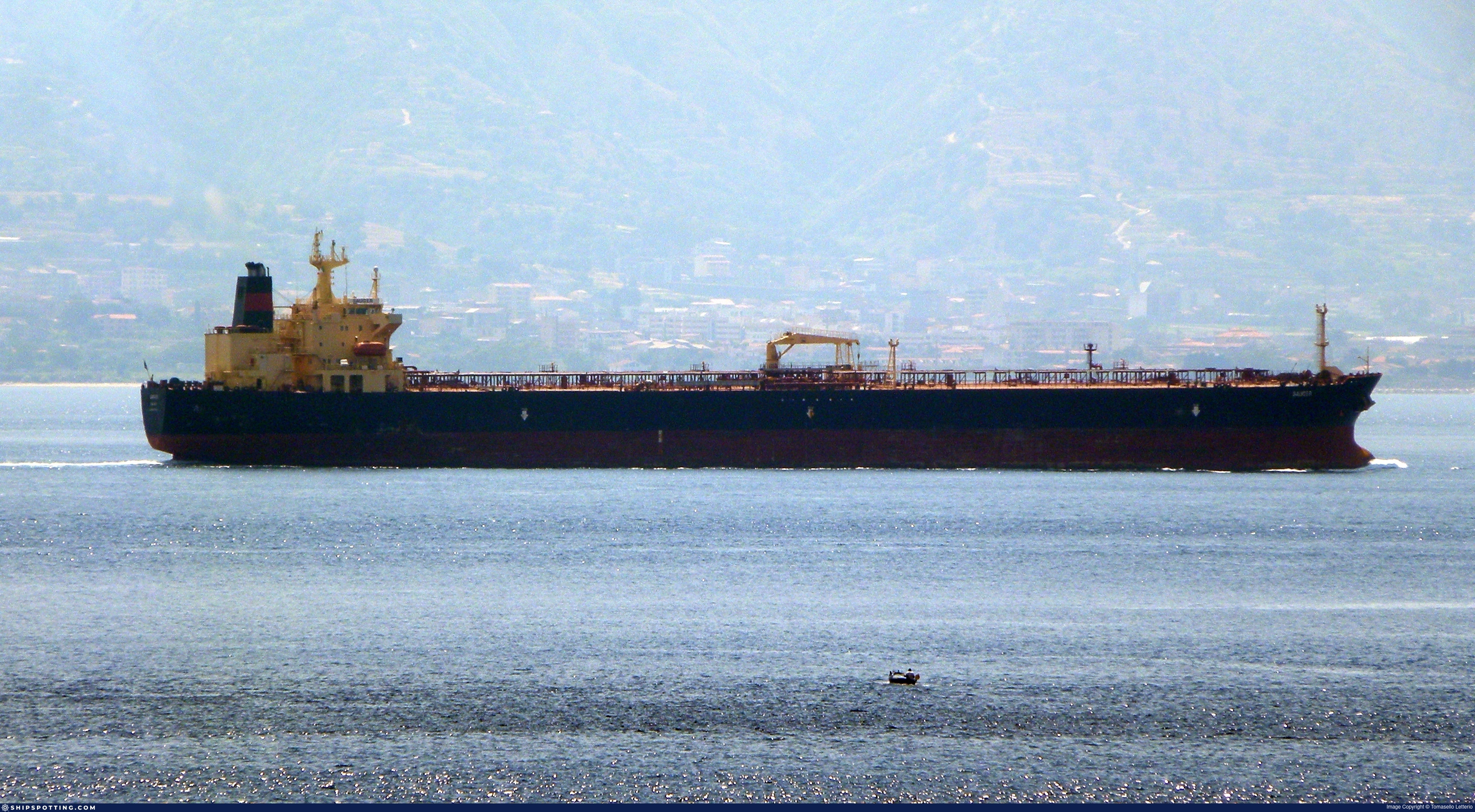
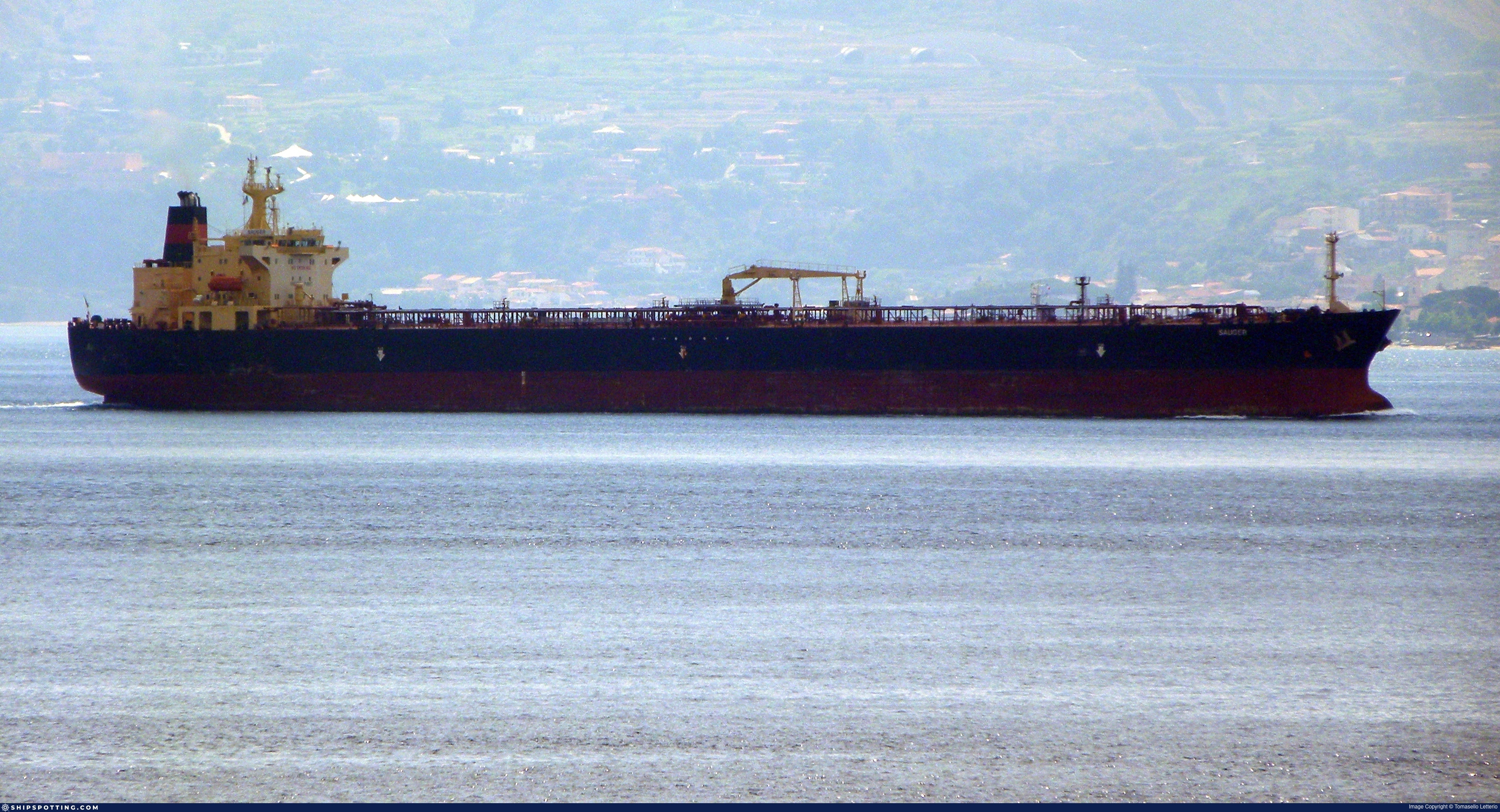
IMO 9273442
Vessel information
Sanctioned by
Company & Ownership
Management & Operations
Classification & Safety
Port State Control (PSC) Inspections
Survey Renewal & Certificates
| Code | Type | Issuer | Issued | Expires |
|---|---|---|---|---|
| 509 | Document of Compliance | American Bureau of Shipping (101) | 06/04/2023 | 05/04/2028 |
| 510 | Safety Management Certificate | ABS | 10/09/2020 | 31/10/2025 |
Programs & Notes
SEMA (Canada) — vessel designations | The Russia (Sanctions) (EU Exit) Regulations 2019
DateOfListing: 2025-05-21 || DateDesignated: 2025-07-21 | Shipping sanctions: (see “Other information”) | Shipping sanctions: a specified ship is prohibited from being provided with access to or having its master or pilot cause it to enter a port in the UK, may have its registration on the UK Ship Register terminated, and a master or pilot of a specified ship may be given a port barring direction, a detention direction, and a port entry direction or a movement direction. | IMO 9273442 (“Pier”) is, has been or is likely to be involved in activity whose object or effect is to destabilise Ukraine or undermine or threaten the territorial integrity, sovereignty or independence of Ukraine or to obtain a benefit from or support the Government of Russia. Namely, 9273442 is involved in carrying oil or oil products that originated in Russia from Russia to a third country.
Vessel Changes
 🔄 Owner
 🔄 Owner
 🔄 Owner
AIS Events
11 events detected • 5 zones • Last: Mar 28, 2026
- Zone: Central Atlantic Surveillance Zone
- Duration: 1h 24m
- Data Points: 23 AIS positions
- Period: 2026-03-28T20:03:57+00:00 to 2026-03-28T21:28:16+00:00
Show Raw Evidence JSON
{
    "zone_id": "discovered_014",
    "zone_name": "Western Pomerania Monitoring Zone",
    "dwell_minutes": 84.2999999999999971578290569595992565155029296875,
    "points_in_zone": 23,
    "first_point": {
        "ts": "2026-03-28T20:03:57+00:00",
        "lat": 31.5786666999999994231984601356089115142822265625,
        "lon": 32.388700000000000045474735088646411895751953125
    },
    "last_point": {
        "ts": "2026-03-28T21:28:16+00:00",
        "lat": 31.4050833000000011452357284724712371826171875,
        "lon": 32.46438330000000149766492540948092937469482421875
    }
}- Gap Duration: 4h 39m
- Last Seen: 2026-03-26T04:13:14+00:00 at 36.6564, 26.7397 (Zone: Southern Kattegat Surveillance Zone)
- Next Seen: 2026-03-26T08:52:44+00:00 at 35.8997, 27.3500
🛰️ Gap Corroboration
These are snapshots that may corroborate presence during the gap. They do not reconstruct a continuous route.
SAR Imagery (Sentinel-1)
Status: ✗ No SAR coverage
No Sentinel-1 scenes covering corridor and time window
VIIRS Thermal Anomaly
Status: ✗ No detections
No VIIRS thermal/light detections in corridor
Show Raw Evidence JSON
{
    "gap_minutes": 279.5,
    "last_seen": {
        "ts": "2026-03-26T04:13:14+00:00",
        "lat": 36.656350000000003319655661471188068389892578125,
        "lon": 26.739733300000001037233232636936008930206298828125,
        "sog": 12.5999999999999996447286321199499070644378662109375,
        "zone_id": "discovered_084"
    },
    "next_seen": {
        "ts": "2026-03-26T08:52:44+00:00",
        "lat": 35.8996666999999973768353811465203762054443359375,
        "lon": 27.35003329999999976962499204091727733612060546875,
        "zone_ids": [
            "discovered_078"
        ]
    },
    "gap_enrichment": {
        "status": "not_found",
        "corridor": {
            "start": {
                "lat": 36.656350000000003319655661471188068389892578125,
                "lon": 26.739733300000001037233232636936008930206298828125,
                "ts": "2026-03-26T04:13:14+00:00"
            },
            "end": {
                "lat": 35.8996666999999973768353811465203762054443359375,
                "lon": 27.35003329999999976962499204091727733612060546875,
                "ts": "2026-03-26T08:52:44+00:00"
            },
            "bbox": {
                "min_lat": 35.7194870000000008758433978073298931121826171875,
                "min_lon": 26.516228000000001685521056060679256916046142578125,
                "max_lat": 36.83653000000000332647687173448503017425537109375,
                "max_lon": 27.573539000000000243062459048815071582794189453125
            },
            "buffer_km": 20
        },
        "sar": {
            "status": "not_found",
            "notes": "No Sentinel-1 scenes covering corridor and time window"
        },
        "viirs": {
            "status": "not_found",
            "notes": "No VIIRS thermal\/light detections in corridor"
        },
        "searched_at": "2026-03-26T09:15:01.211186+00:00"
    }
}- Zone: Southern Kattegat Surveillance Zone
- Duration: 1h 11m
- Data Points: 13 AIS positions
- Period: 2026-03-26T03:01:25+00:00 to 2026-03-26T04:13:14+00:00
Show Raw Evidence JSON
{
    "zone_id": "discovered_084",
    "zone_name": "Norwegian Sea Surveillance Zone",
    "dwell_minutes": 71.7999999999999971578290569595992565155029296875,
    "points_in_zone": 13,
    "first_point": {
        "ts": "2026-03-26T03:01:25+00:00",
        "lat": 36.88962169999999929359546513296663761138916015625,
        "lon": 26.649453300000001121361492550931870937347412109375
    },
    "last_point": {
        "ts": "2026-03-26T04:13:14+00:00",
        "lat": 36.656350000000003319655661471188068389892578125,
        "lon": 26.739733300000001037233232636936008930206298828125
    }
}- Zone: Southern Kattegat Surveillance Zone
- Duration: 2h 12m
- Data Points: 61 AIS positions
- Period: 2026-03-26T02:00:45+00:00 to 2026-03-26T04:13:14+00:00
Show Raw Evidence JSON
{
    "zone_id": "discovered_084",
    "zone_name": "Norwegian Sea Surveillance Zone",
    "dwell_minutes": 132.5,
    "points_in_zone": 61,
    "first_point": {
        "ts": "2026-03-26T02:00:45+00:00",
        "lat": 37.07112169999999906622178968973457813262939453125,
        "lon": 26.547370000000000800355337560176849365234375
    },
    "last_point": {
        "ts": "2026-03-26T04:13:14+00:00",
        "lat": 36.656350000000003319655661471188068389892578125,
        "lon": 26.739733300000001037233232636936008930206298828125
    }
}- Zone: Southern Kattegat Surveillance Zone
- Duration: 2h 33m
- Data Points: 75 AIS positions
- Period: 2026-03-26T01:39:45+00:00 to 2026-03-26T04:13:14+00:00
Show Raw Evidence JSON
{
    "zone_id": "discovered_084",
    "zone_name": "Norwegian Sea Surveillance Zone",
    "dwell_minutes": 153.5,
    "points_in_zone": 75,
    "first_point": {
        "ts": "2026-03-26T01:39:45+00:00",
        "lat": 37.11322169999999687206582166254520416259765625,
        "lon": 26.47128670000000028039721655659377574920654296875
    },
    "last_point": {
        "ts": "2026-03-26T04:13:14+00:00",
        "lat": 36.656350000000003319655661471188068389892578125,
        "lon": 26.739733300000001037233232636936008930206298828125
    }
}- Zone: Bosphorus/Dardanelles Approach
- Duration: 1h 4m
- Data Points: 38 AIS positions
- Period: 2026-03-01T07:01:52+00:00 to 2026-03-01T08:06:33+00:00
Show Raw Evidence JSON
{
    "zone_id": "osint_bosphorus",
    "zone_name": "Bosphorus\/Dardanelles Approach",
    "dwell_minutes": 64.7000000000000028421709430404007434844970703125,
    "points_in_zone": 38,
    "first_point": {
        "ts": "2026-03-01T07:01:52+00:00",
        "lat": 40.87145000000000294448909698985517024993896484375,
        "lon": 28.941449999999999675992512493394315242767333984375
    },
    "last_point": {
        "ts": "2026-03-01T08:06:33+00:00",
        "lat": 41.0048000000000030240698833949863910675048828125,
        "lon": 28.993133300000000218688001041300594806671142578125
    }
}- Zone: Bosphorus/Dardanelles Approach
- Duration: 1h 10m
- Data Points: 40 AIS positions
- Period: 2026-03-01T06:55:52+00:00 to 2026-03-01T08:06:33+00:00
Show Raw Evidence JSON
{
    "zone_id": "osint_bosphorus",
    "zone_name": "Bosphorus\/Dardanelles Approach",
    "dwell_minutes": 70.7000000000000028421709430404007434844970703125,
    "points_in_zone": 40,
    "first_point": {
        "ts": "2026-03-01T06:55:52+00:00",
        "lat": 40.8540167000000025154804461635649204254150390625,
        "lon": 28.94239999999999923829818726517260074615478515625
    },
    "last_point": {
        "ts": "2026-03-01T08:06:33+00:00",
        "lat": 41.0048000000000030240698833949863910675048828125,
        "lon": 28.993133300000000218688001041300594806671142578125
    }
}- Zone: Bosphorus/Dardanelles Approach
- Duration: 3h 4m
- Data Points: 8 AIS positions
- Period: 2026-02-28T18:13:33+00:00 to 2026-02-28T21:18:23+00:00
Show Raw Evidence JSON
{
    "zone_id": "osint_bosphorus",
    "zone_name": "Bosphorus\/Dardanelles Approach",
    "dwell_minutes": 184.80000000000001136868377216160297393798828125,
    "points_in_zone": 8,
    "first_point": {
        "ts": "2026-02-28T18:13:33+00:00",
        "lat": 40.81466669999999652418409823440015316009521484375,
        "lon": 28.986566700000000906811692402698099613189697265625
    },
    "last_point": {
        "ts": "2026-02-28T21:18:23+00:00",
        "lat": 40.80666670000000095797076937742531299591064453125,
        "lon": 28.9909166999999996505721355788409709930419921875
    }
}- Zone: Bosphorus/Dardanelles Approach
- Duration: 3h 31m
- Data Points: 9 AIS positions
- Period: 2026-02-28T17:47:12+00:00 to 2026-02-28T21:18:23+00:00
Show Raw Evidence JSON
{
    "zone_id": "osint_bosphorus",
    "zone_name": "Bosphorus\/Dardanelles Approach",
    "dwell_minutes": 211.19999999999998863131622783839702606201171875,
    "points_in_zone": 9,
    "first_point": {
        "ts": "2026-02-28T17:47:12+00:00",
        "lat": 40.799233299999997370832716114819049835205078125,
        "lon": 28.914750000000001506350599811412394046783447265625
    },
    "last_point": {
        "ts": "2026-02-28T21:18:23+00:00",
        "lat": 40.80666670000000095797076937742531299591064453125,
        "lon": 28.9909166999999996505721355788409709930419921875
    }
}- Zone: Dodecanese Sea Monitoring Zone
- Duration: 3h 11m
- Data Points: 7 AIS positions
- Period: 2026-02-26T01:47:33+00:00 to 2026-02-26T04:58:32+00:00
Show Raw Evidence JSON
{
    "zone_id": "discovered_069",
    "zone_name": "Dodecanese Sea Monitoring Zone",
    "dwell_minutes": 191,
    "points_in_zone": 7,
    "first_point": {
        "ts": "2026-02-26T01:47:33+00:00",
        "lat": 36.4563332999999971661964082159101963043212890625,
        "lon": 26.759983299999998251905708457343280315399169921875
    },
    "last_point": {
        "ts": "2026-02-26T04:58:32+00:00",
        "lat": 36.93950670000000258141881204210221767425537109375,
        "lon": 26.2391199999999997771737980656325817108154296875
    }
}- Gap Duration: 4h 6m
- Last Seen: 2026-02-25T21:41:12+00:00 at 35.8678, 27.4179 (Zone: Southern Öresund Monitoring Zone)
- Next Seen: 2026-02-26T01:47:33+00:00 at 36.4563, 26.7600
🛰️ Gap Corroboration
These are snapshots that may corroborate presence during the gap. They do not reconstruct a continuous route.
SAR Imagery (Sentinel-1)
Status: ✗ No SAR coverage
No Sentinel-1 scenes covering corridor and time window
VIIRS Thermal Anomaly
Status: ✗ No detections
No VIIRS thermal/light detections in corridor
Show Raw Evidence JSON
{
    "gap_minutes": 246.30000000000001136868377216160297393798828125,
    "last_seen": {
        "ts": "2026-02-25T21:41:12+00:00",
        "lat": 35.8677832999999992580342222936451435089111328125,
        "lon": 27.4179333000000013953467714600265026092529296875,
        "sog": 11.199999999999999289457264239899814128875732421875,
        "zone_id": "discovered_061"
    },
    "next_seen": {
        "ts": "2026-02-26T01:47:33+00:00",
        "lat": 36.4563332999999971661964082159101963043212890625,
        "lon": 26.759983299999998251905708457343280315399169921875,
        "zone_ids": [
            "discovered_084",
            "discovered_069"
        ]
    },
    "gap_enrichment": {
        "status": "not_found",
        "corridor": {
            "start": {
                "lat": 35.8677832999999992580342222936451435089111328125,
                "lon": 27.4179333000000013953467714600265026092529296875,
                "ts": "2026-02-25T21:41:12+00:00"
            },
            "end": {
                "lat": 36.4563332999999971661964082159101963043212890625,
                "lon": 26.759983299999998251905708457343280315399169921875,
                "ts": "2026-02-26T01:47:33+00:00"
            },
            "bbox": {
                "min_lat": 35.68760300000000285081114270724356174468994140625,
                "min_lon": 26.536809000000001645958036533556878566741943359375,
                "max_lat": 36.63651300000000077261574915610253810882568359375,
                "max_lon": 27.641107999999999123019733815453946590423583984375
            },
            "buffer_km": 20
        },
        "sar": {
            "status": "not_found",
            "notes": "No Sentinel-1 scenes covering corridor and time window"
        },
        "viirs": {
            "status": "not_found",
            "notes": "No VIIRS thermal\/light detections in corridor"
        },
        "searched_at": "2026-02-26T02:00:07.654924+00:00"
    }
}Source snapshot
| Sanctioner | As of | Entity ID |
|---|---|---|
| 🇬🇧 UK | 2025-09-29 | 9273442 |
We mirror official lists; always verify at the source.
Sanctioned on the same day
- AGATE · IMO 9310707 🇨🇦 CA🇪🇺 EU🇬🇧 UK
- AKTROS · IMO 9257814 🇨🇦 CA🇪🇺 EU🇬🇧 UK
- AQUA LIVE · IMO 9282792 🇦🇺 AU🇨🇦 CA🇪🇺 EU🇬🇧 UK
- ARABESCA · IMO 9288734 🇦🇺 AU🇨🇦 CA🇪🇺 EU🇬🇧 UK
- ARLAN · IMO 9227443 🇦🇺 AU🇨🇦 CA🇪🇺 EU🇬🇧 UK
- BARENTS · IMO 9384447 🇦🇺 AU🇨🇦 CA🇪🇺 EU🇳🇿 NZ🇬🇧 UK
- BEAST · IMO 9290921 🇦🇺 AU🇨🇦 CA🇪🇺 EU🇬🇧 UK
- Berra · IMO 9308821 🇨🇦 CA🇪🇺 EU🇬🇧 UK