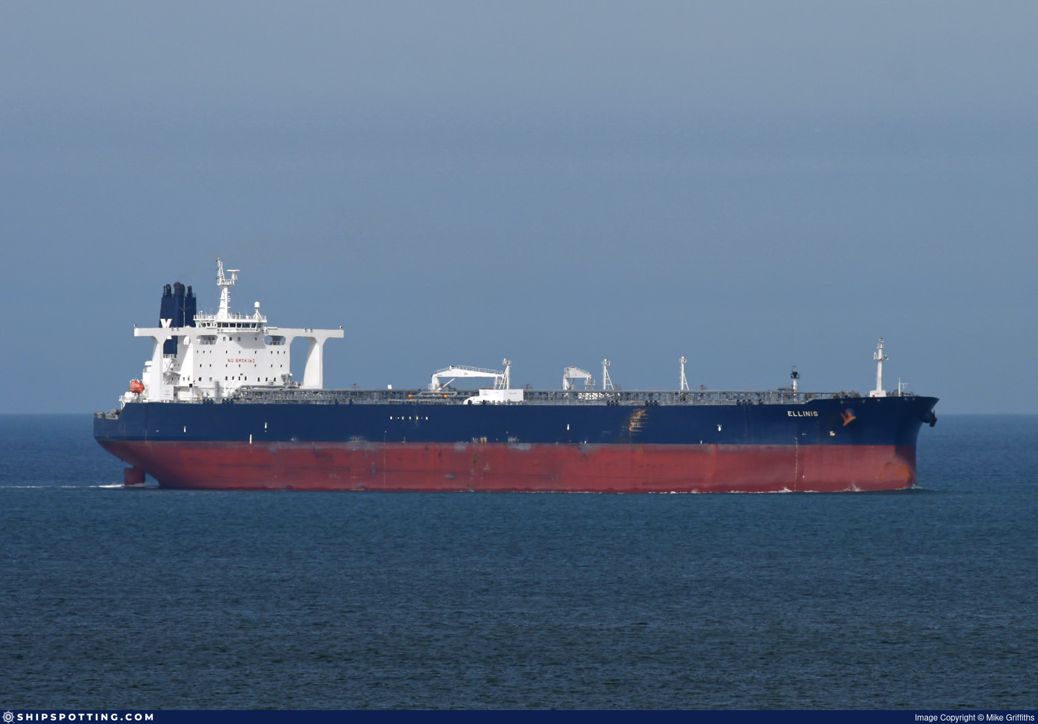
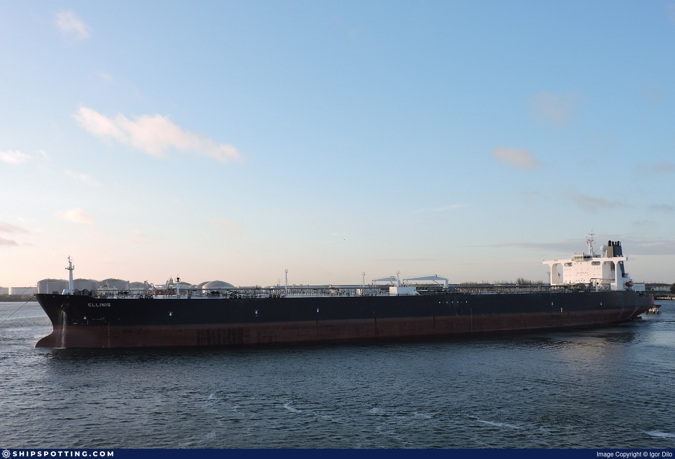
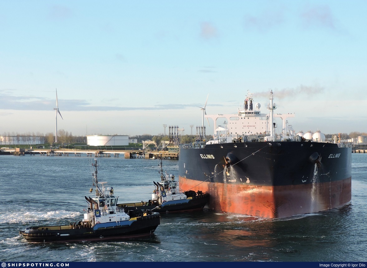
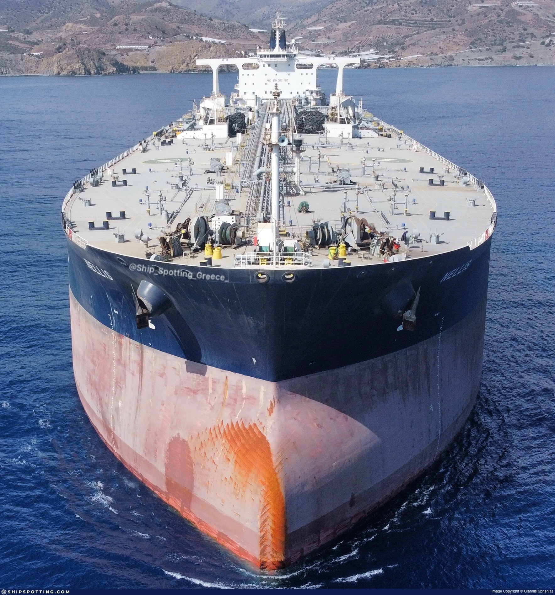
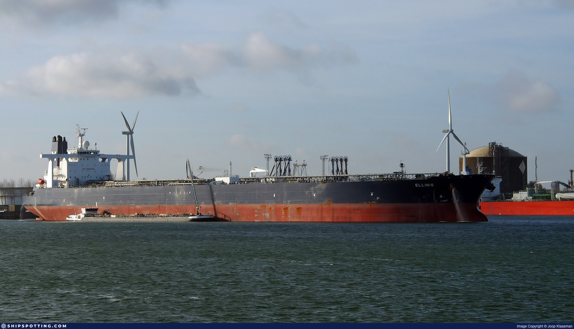
IMO 9322267
Vessel information
Sanctioned by
Company & Ownership
Management & Operations
Classification & Safety
Port State Control (PSC) Inspections
Survey Renewal & Certificates
| Code | Type | Issuer | Issued | Expires |
|---|---|---|---|---|
| 509 | Document of Compliance | LR | 31/03/2022 | 17/04/2027 |
| 506 | International Air Pollution Prevention | DNV | 18/11/2021 | 14/01/2027 |
Programs & Notes
SEMA (Canada) — vessel designations | RUSSIA-EO14024 | The Russia (Sanctions) (EU Exit) Regulations 2019
Secondary sanctions risk: See Section 11 of Executive Order 14024.; Vessel Registration Identification IMO 9322267; MMSI 636022550; Linked To: HENNESEA HOLDINGS LIMITED. || DateDesignated: 2025-09-12 | Shipping sanctions: (see “Other information”) | Shipping sanctions: a specified ship is prohibited from being provided with access to or having its master or pilot cause it to enter a port in the UK, may have its registration on the UK Ship Register terminated, and a master or pilot of a specified ship may be given a port barring direction, a detention direction, and a port entry direction or a movement direction. | IMO 9322267 (SAHARA) is, has been or is likely to be involved in activity whose object or effect is to destabilise Ukraine or undermine or threaten the territorial integrity, sovereignty or independence of Ukraine or to obtain a benefit from or support the Government of Russia. Namely, SAHARA is involved in carrying oil or oil products that originated in Russia from Russia to a third country.
Vessel Changes
AIS Events
10 events detected • 1 zone • Last: Apr 30, 2026
- Zone: Port Said/Suez Approach
- Duration: 3h 18m
- Data Points: 2 AIS positions
- Period: 2026-04-30T02:00:07+00:00 to 2026-04-30T05:18:57+00:00
Show Raw Evidence JSON
{
    "zone_id": "osint_port_said",
    "zone_name": "Port Said\/Suez Approach",
    "dwell_minutes": 198.80000000000001136868377216160297393798828125,
    "points_in_zone": 2,
    "first_point": {
        "ts": "2026-04-30T02:00:07+00:00",
        "lat": 29.7023267000000004145476850681006908416748046875,
        "lon": 32.5838049999999981309883878566324710845947265625
    },
    "last_point": {
        "ts": "2026-04-30T05:18:57+00:00",
        "lat": 29.702269999999998617568053305149078369140625,
        "lon": 32.58499330000000071549948188476264476776123046875
    }
}- Zone: Port Said/Suez Approach
- Duration: 3h 58m
- Data Points: 8 AIS positions
- Period: 2026-04-30T01:20:03+00:00 to 2026-04-30T05:18:57+00:00
Show Raw Evidence JSON
{
    "zone_id": "osint_port_said",
    "zone_name": "Port Said\/Suez Approach",
    "dwell_minutes": 238.900000000000005684341886080801486968994140625,
    "points_in_zone": 8,
    "first_point": {
        "ts": "2026-04-30T01:20:03+00:00",
        "lat": 29.7023583000000002130036591552197933197021484375,
        "lon": 32.583768300000002682281774468719959259033203125
    },
    "last_point": {
        "ts": "2026-04-30T05:18:57+00:00",
        "lat": 29.702269999999998617568053305149078369140625,
        "lon": 32.58499330000000071549948188476264476776123046875
    }
}- Zone: Port Said/Suez Approach
- Duration: 6h 24m
- Data Points: 8 AIS positions
- Period: 2026-04-29T19:36:05+00:00 to 2026-04-30T02:00:07+00:00
Show Raw Evidence JSON
{
    "zone_id": "osint_port_said",
    "zone_name": "Port Said\/Suez Approach",
    "dwell_minutes": 384,
    "points_in_zone": 8,
    "first_point": {
        "ts": "2026-04-29T19:36:05+00:00",
        "lat": 29.702235000000001718944986350834369659423828125,
        "lon": 32.58418830000000099289536592550575733184814453125
    },
    "last_point": {
        "ts": "2026-04-30T02:00:07+00:00",
        "lat": 29.7023267000000004145476850681006908416748046875,
        "lon": 32.5838049999999981309883878566324710845947265625
    }
}- Zone: Port Said/Suez Approach
- Duration: 1h 32m
- Data Points: 9 AIS positions
- Period: 2026-04-29T04:46:27+00:00 to 2026-04-29T06:19:19+00:00
Show Raw Evidence JSON
{
    "zone_id": "osint_port_said",
    "zone_name": "Port Said\/Suez Approach",
    "dwell_minutes": 92.900000000000005684341886080801486968994140625,
    "points_in_zone": 9,
    "first_point": {
        "ts": "2026-04-29T04:46:27+00:00",
        "lat": 29.702463300000001567013896419666707515716552734375,
        "lon": 32.58566669999999731999196228571236133575439453125
    },
    "last_point": {
        "ts": "2026-04-29T06:19:19+00:00",
        "lat": 29.702923299999998363318809424526989459991455078125,
        "lon": 32.58621329999999716164893470704555511474609375
    }
}- Duration: 4h 13m
- Radius: 267 meters
- Data Points: 11 AIS positions
- Centroid: 29.7030, 32.5859
- Zone: Port Said/Suez Approach
Show Raw Evidence JSON
{
    "radius_m": 267.30000000000001136868377216160297393798828125,
    "duration_minutes": 253.80000000000001136868377216160297393798828125,
    "points": 11,
    "centroid": {
        "lat": 29.702966963636367125900505925528705120086669921875,
        "lon": 32.585873927272729133619577623903751373291015625
    },
    "bbox": {
        "min_lat": 29.702420000000000044337866711430251598358154296875,
        "min_lon": 32.583151700000001937951310537755489349365234375,
        "max_lat": 29.703361699999998535304257529787719249725341796875,
        "max_lon": 32.5869933000000031597664928995072841644287109375
    },
    "zone_id": "osint_port_said"
}- Zone: Port Said/Suez Approach
- Duration: 4h 13m
- Data Points: 11 AIS positions
- Period: 2026-04-29T02:05:29+00:00 to 2026-04-29T06:19:19+00:00
Show Raw Evidence JSON
{
    "zone_id": "osint_port_said",
    "zone_name": "Port Said\/Suez Approach",
    "dwell_minutes": 253.80000000000001136868377216160297393798828125,
    "points_in_zone": 11,
    "first_point": {
        "ts": "2026-04-29T02:05:29+00:00",
        "lat": 29.702556699999998812700141570530831813812255859375,
        "lon": 32.583151700000001937951310537755489349365234375
    },
    "last_point": {
        "ts": "2026-04-29T06:19:19+00:00",
        "lat": 29.702923299999998363318809424526989459991455078125,
        "lon": 32.58621329999999716164893470704555511474609375
    }
}- Duration: 4h 43m
- Radius: 203 meters
- Data Points: 15 AIS positions
- Centroid: 29.7028, 32.5852
- Zone: Port Said/Suez Approach
Show Raw Evidence JSON
{
    "radius_m": 203.30000000000001136868377216160297393798828125,
    "duration_minutes": 283.80000000000001136868377216160297393798828125,
    "points": 15,
    "centroid": {
        "lat": 29.702841886666664805716209230013191699981689453125,
        "lon": 32.5851779866666646512385341338813304901123046875
    },
    "bbox": {
        "min_lat": 29.702401699999999351575752370990812778472900390625,
        "min_lon": 32.58310829999999924666553852148354053497314453125,
        "max_lat": 29.703361699999998535304257529787719249725341796875,
        "max_lon": 32.5869933000000031597664928995072841644287109375
    },
    "zone_id": "osint_port_said"
}- Zone: Port Said/Suez Approach
- Duration: 4h 43m
- Data Points: 15 AIS positions
- Period: 2026-04-29T01:35:29+00:00 to 2026-04-29T06:19:19+00:00
Show Raw Evidence JSON
{
    "zone_id": "osint_port_said",
    "zone_name": "Port Said\/Suez Approach",
    "dwell_minutes": 283.80000000000001136868377216160297393798828125,
    "points_in_zone": 15,
    "first_point": {
        "ts": "2026-04-29T01:35:29+00:00",
        "lat": 29.702401699999999351575752370990812778472900390625,
        "lon": 32.5834382999999974117599776946008205413818359375
    },
    "last_point": {
        "ts": "2026-04-29T06:19:19+00:00",
        "lat": 29.702923299999998363318809424526989459991455078125,
        "lon": 32.58621329999999716164893470704555511474609375
    }
}- Duration: 6h 31m
- Radius: 194 meters
- Data Points: 17 AIS positions
- Centroid: 29.7028, 32.5851
- Zone: Port Said/Suez Approach
Show Raw Evidence JSON
{
    "radius_m": 194.099999999999994315658113919198513031005859375,
    "duration_minutes": 391.8999999999999772626324556767940521240234375,
    "points": 17,
    "centroid": {
        "lat": 29.702762935294121149354396038688719272613525390625,
        "lon": 32.5850878294117620725955930538475513458251953125
    },
    "bbox": {
        "min_lat": 29.702148300000001057696863426826894283294677734375,
        "min_lon": 32.58310829999999924666553852148354053497314453125,
        "max_lat": 29.703361699999998535304257529787719249725341796875,
        "max_lon": 32.5869933000000031597664928995072841644287109375
    },
    "zone_id": "osint_port_said"
}- Zone: Port Said/Suez Approach
- Duration: 6h 31m
- Data Points: 17 AIS positions
- Period: 2026-04-28T23:47:25+00:00 to 2026-04-29T06:19:19+00:00
Show Raw Evidence JSON
{
    "zone_id": "osint_port_said",
    "zone_name": "Port Said\/Suez Approach",
    "dwell_minutes": 391.8999999999999772626324556767940521240234375,
    "points_in_zone": 17,
    "first_point": {
        "ts": "2026-04-28T23:47:25+00:00",
        "lat": 29.702148300000001057696863426826894283294677734375,
        "lon": 32.58440829999999976962499204091727733612060546875
    },
    "last_point": {
        "ts": "2026-04-29T06:19:19+00:00",
        "lat": 29.702923299999998363318809424526989459991455078125,
        "lon": 32.58621329999999716164893470704555511474609375
    }
}Source snapshot
| Sanctioner | As of | Entity ID |
|---|---|---|
| 🇬🇧 UK | 2025-09-29 | 9322267 |
| 🇺🇸 US | 2025-09-29 | 9322267 |
We mirror official lists; always verify at the source.
Sanctioned on the same day
- ADMIRAL · IMO 9274446 🇨🇦 CA🇬🇧 UK🇺🇸 US
- AKCENT · IMO 9381732 🇨🇦 CA🇪🇺 EU🇬🇧 UK🇺🇸 US
- AKHILL · IMO 9410870 🇨🇦 CA🇬🇧 UK🇺🇸 US
- AKKORD · IMO 9259599 🇨🇦 CA🇬🇧 UK🇺🇸 US
- AKSEL · IMO 9410894 🇨🇦 CA🇬🇧 UK🇺🇸 US
- ALGORITM · IMO 9299745 🇨🇦 CA🇬🇧 UK🇺🇸 US
- ALYSSUM · IMO 9314818 🇨🇦 CA🇬🇧 UK🇺🇸 US
- ANEMON · IMO 9323338 🇨🇦 CA🇬🇧 UK🇺🇸 US