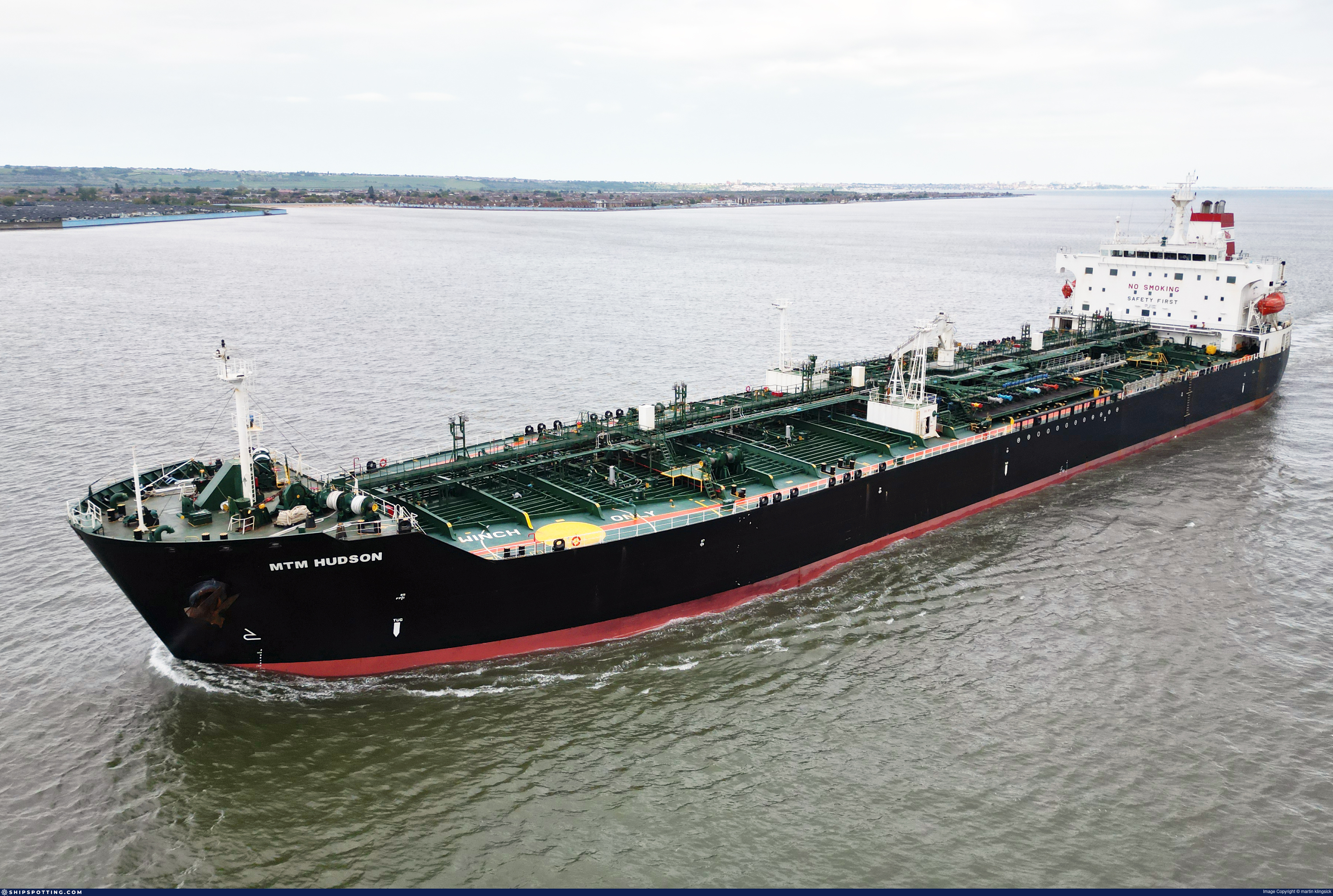
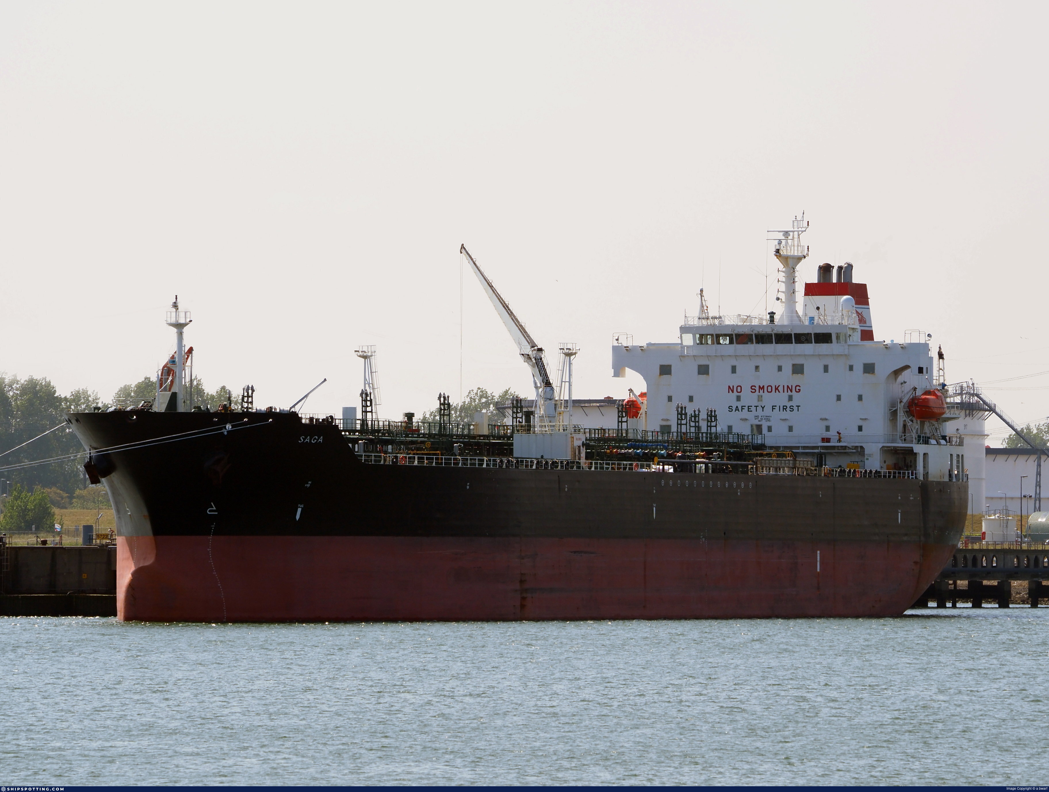
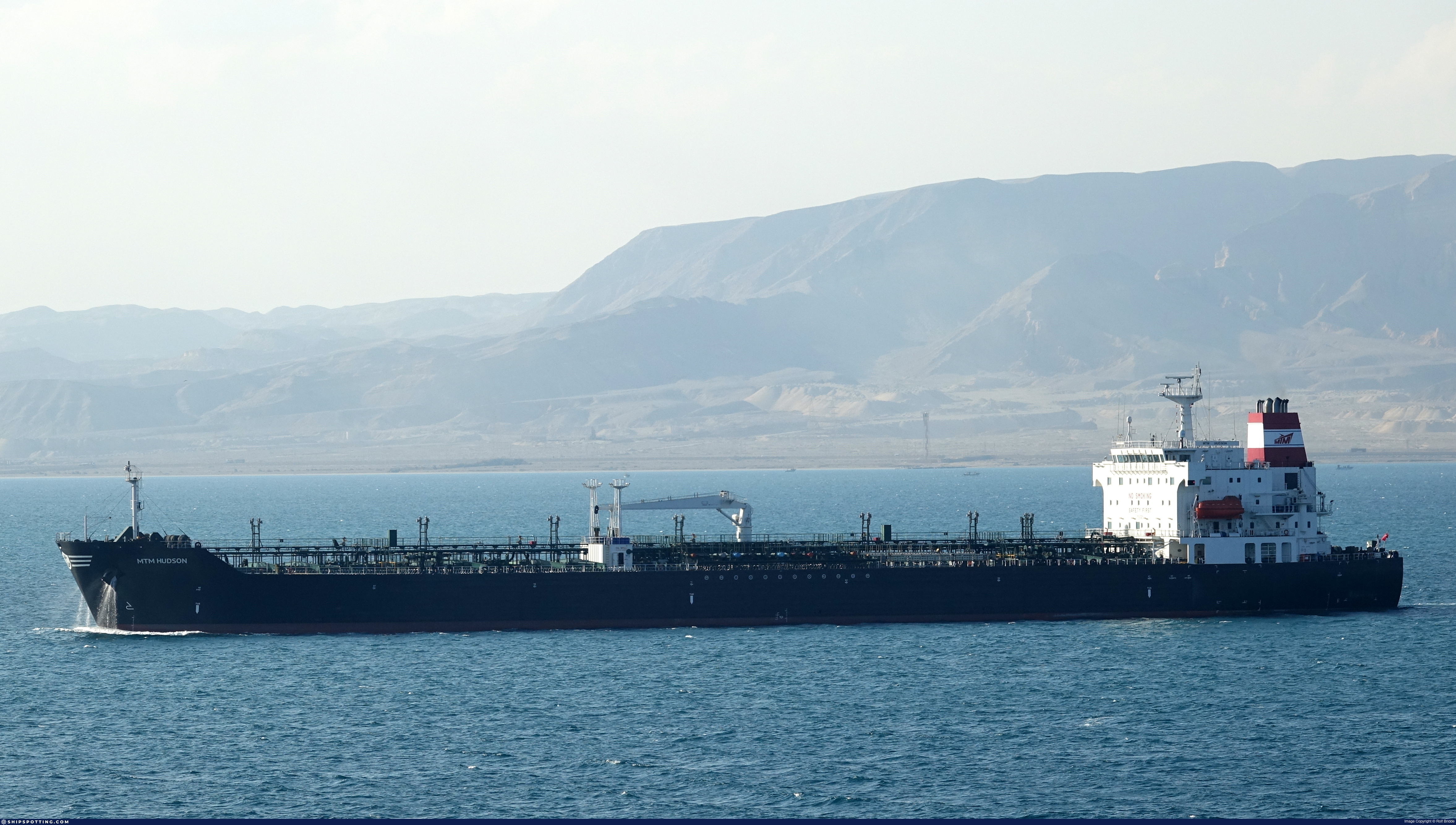
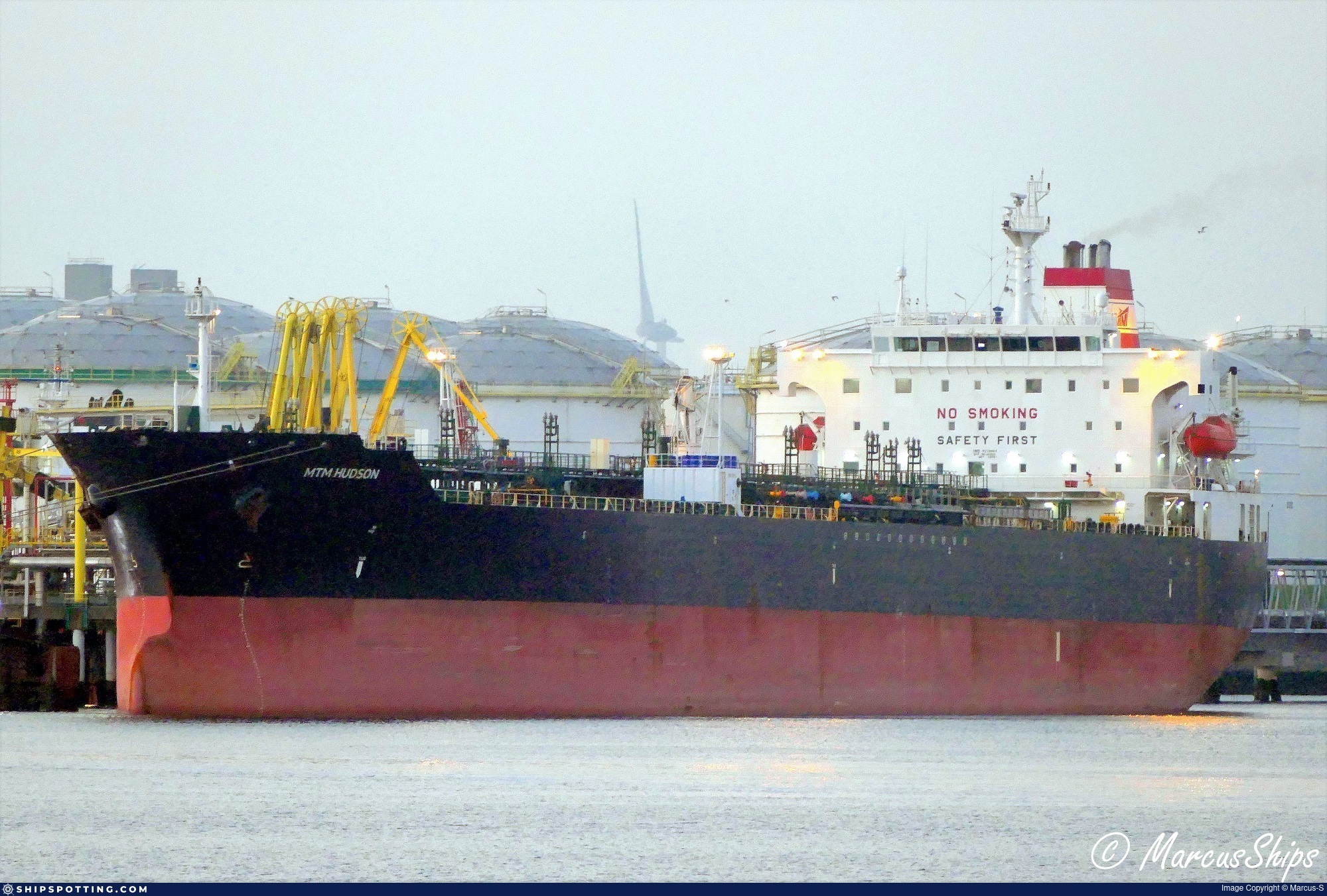
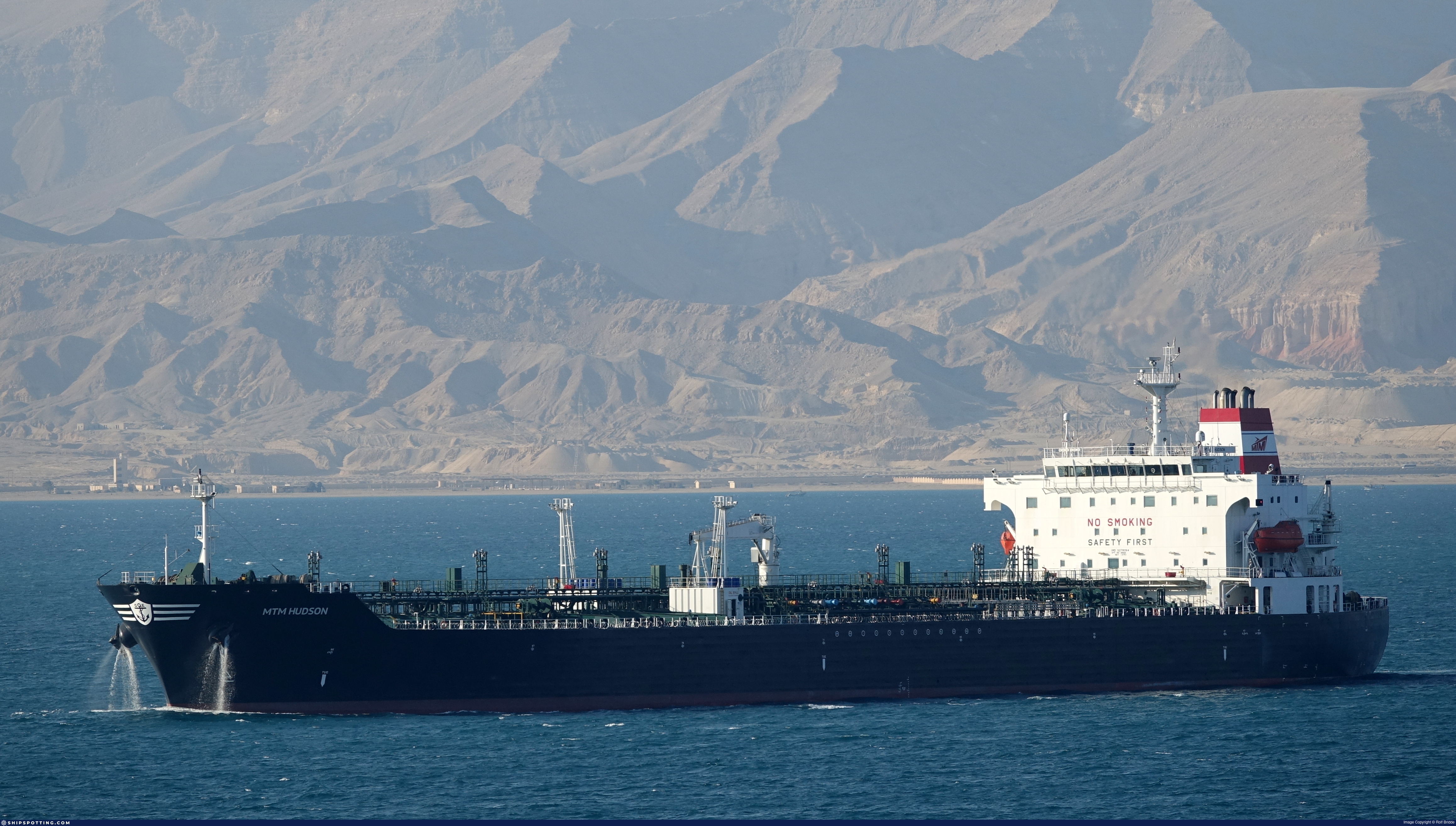
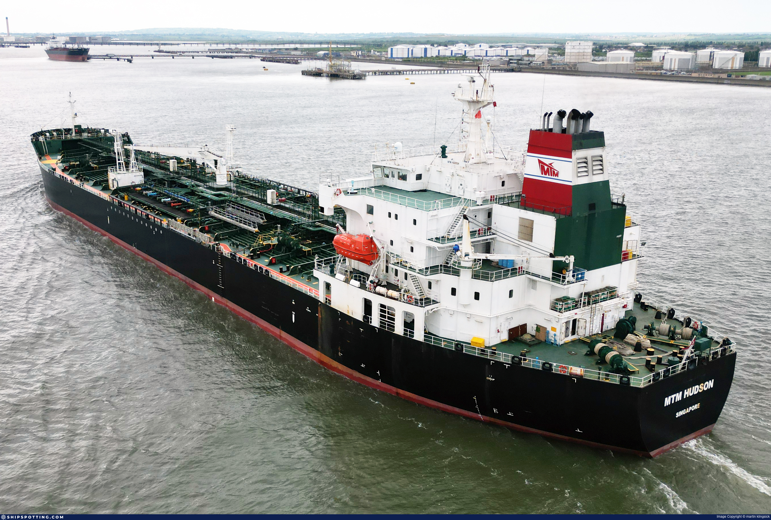
IMO 9278064
Vessel information
Sanctioned by
Company & Ownership
Management & Operations
Classification & Safety
Port State Control (PSC) Inspections
Survey Renewal & Certificates
| Code | Type | Issuer | Issued | Expires |
|---|---|---|---|---|
| 509 | Document of Compliance | Indian Register of Shipping (150) | 24/07/2023 | 18/07/2028 |
| 509 | Document of Compliance | NKK | 20/09/2021 | 16/09/2026 |
Programs & Notes
EU Russia Sanctions – Shadow Fleet | AU vessel designations (DFAT) | SEMA (Canada) — vessel designations | The Russia (Sanctions) (EU Exit) Regulations 2019
DateDesignated: 2025-05-09 | Shipping sanctions: (see “Other information”) | Shipping sanctions: a specified ship is prohibited from being provided with access to or having its master or pilot cause it to enter a port in the UK, may have its registration on the UK Ship Register terminated, and a master or pilot of a specified ship may be given a port barring direction, a detention direction, and a port entry direction or a movement direction. | IMO 9278064 (“
SOFOS
”) is involved in activity whose object or effect is to destabilise Ukraine or undermine or threaten the territorial integrity, sovereignty or independence of Ukraine or to obtain a benefit from or support the Government of Russia. Namely,
SOFOS
is involved in carrying oil or oil products that originated in Russia from Russia to a third country.
Vessel Changes
AIS Events
36 events detected • 11 zones • Last: Apr 15, 2026
- Zone: Central Mediterranean Sanctions Monitoring Zone
- Duration: 1h 17m
- Data Points: 5 AIS positions
- Period: 2026-04-15T14:10:30+00:00 to 2026-04-15T15:27:36+00:00
Show Raw Evidence JSON
{
    "zone_id": "discovered_016",
    "zone_name": "Eastern Mediterranean Monitoring Zone",
    "dwell_minutes": 77.099999999999994315658113919198513031005859375,
    "points_in_zone": 5,
    "first_point": {
        "ts": "2026-04-15T14:10:30+00:00",
        "lat": 31.5799166999999982863300829194486141204833984375,
        "lon": 32.3049333000000018500941223464906215667724609375
    },
    "last_point": {
        "ts": "2026-04-15T15:27:36+00:00",
        "lat": 31.64880000000000137561073643155395984649658203125,
        "lon": 32.3102999999999980218490236438810825347900390625
    }
}- Zone: Central Mediterranean Sanctions Monitoring Zone
- Duration: 1h 35m
- Data Points: 7 AIS positions
- Period: 2026-04-15T13:52:30+00:00 to 2026-04-15T15:27:36+00:00
Show Raw Evidence JSON
{
    "zone_id": "discovered_016",
    "zone_name": "Eastern Mediterranean Monitoring Zone",
    "dwell_minutes": 95.099999999999994315658113919198513031005859375,
    "points_in_zone": 7,
    "first_point": {
        "ts": "2026-04-15T13:52:30+00:00",
        "lat": 31.5799999999999982946974341757595539093017578125,
        "lon": 32.304900000000003501554601825773715972900390625
    },
    "last_point": {
        "ts": "2026-04-15T15:27:36+00:00",
        "lat": 31.64880000000000137561073643155395984649658203125,
        "lon": 32.3102999999999980218490236438810825347900390625
    }
}- Zone: Central Mediterranean Sanctions Monitoring Zone
- Duration: 2h 59m
- Data Points: 10 AIS positions
- Period: 2026-04-15T12:28:33+00:00 to 2026-04-15T15:27:36+00:00
Show Raw Evidence JSON
{
    "zone_id": "discovered_016",
    "zone_name": "Eastern Mediterranean Monitoring Zone",
    "dwell_minutes": 179.099999999999994315658113919198513031005859375,
    "points_in_zone": 10,
    "first_point": {
        "ts": "2026-04-15T12:28:33+00:00",
        "lat": 31.5799166999999982863300829194486141204833984375,
        "lon": 32.304900000000003501554601825773715972900390625
    },
    "last_point": {
        "ts": "2026-04-15T15:27:36+00:00",
        "lat": 31.64880000000000137561073643155395984649658203125,
        "lon": 32.3102999999999980218490236438810825347900390625
    }
}- Duration: 4h 18m
- Radius: 147 meters
- Data Points: 12 AIS positions
- Centroid: 31.5798, 32.3050
- Zone: Central Mediterranean Sanctions Monitoring Zone
Show Raw Evidence JSON
{
    "radius_m": 147.099999999999994315658113919198513031005859375,
    "duration_minutes": 258.80000000000001136868377216160297393798828125,
    "points": 12,
    "centroid": {
        "lat": 31.5798097250000040503437048755586147308349609375,
        "lon": 32.3049569500000046673449105583131313323974609375
    },
    "bbox": {
        "min_lat": 31.578483299999998479279383900575339794158935546875,
        "min_lon": 32.3048500000000018417267710901796817779541015625,
        "max_lat": 31.580033300000000195950633496977388858795166015625,
        "max_lon": 32.30536670000000043501131585799157619476318359375
    },
    "zone_id": "discovered_016"
}- Zone: Central Mediterranean Sanctions Monitoring Zone
- Duration: 4h 24m
- Data Points: 13 AIS positions
- Period: 2026-04-15T11:03:30+00:00 to 2026-04-15T15:27:36+00:00
Show Raw Evidence JSON
{
    "zone_id": "discovered_016",
    "zone_name": "Eastern Mediterranean Monitoring Zone",
    "dwell_minutes": 264.1000000000000227373675443232059478759765625,
    "points_in_zone": 13,
    "first_point": {
        "ts": "2026-04-15T11:03:30+00:00",
        "lat": 31.5799999999999982946974341757595539093017578125,
        "lon": 32.3048500000000018417267710901796817779541015625
    },
    "last_point": {
        "ts": "2026-04-15T15:27:36+00:00",
        "lat": 31.64880000000000137561073643155395984649658203125,
        "lon": 32.3102999999999980218490236438810825347900390625
    }
}- Zone: Alboran Sea Surveillance Zone
- Duration: 1h 46m
- Data Points: 45 AIS positions
- Period: 2026-03-19T05:00:17+00:00 to 2026-03-19T06:46:19+00:00
Show Raw Evidence JSON
{
    "zone_id": "discovered_103",
    "zone_name": "Copenhagen Maritime Surveillance Zone",
    "dwell_minutes": 106,
    "points_in_zone": 45,
    "first_point": {
        "ts": "2026-03-19T05:00:17+00:00",
        "lat": 50.35308330000000154313966049812734127044677734375,
        "lon": -0.88885000000000002895461648222408257424831390380859375
    },
    "last_point": {
        "ts": "2026-03-19T06:46:19+00:00",
        "lat": 50.2543332999999989851858117617666721343994140625,
        "lon": -1.4269332999999999600504452246241271495819091796875
    }
}- Zone: Alboran Sea Surveillance Zone
- Duration: 2h 45m
- Data Points: 97 AIS positions
- Period: 2026-03-19T04:01:04+00:00 to 2026-03-19T06:46:19+00:00
Show Raw Evidence JSON
{
    "zone_id": "discovered_103",
    "zone_name": "Copenhagen Maritime Surveillance Zone",
    "dwell_minutes": 165.19999999999998863131622783839702606201171875,
    "points_in_zone": 97,
    "first_point": {
        "ts": "2026-03-19T04:01:04+00:00",
        "lat": 50.4190167000000002417436917312443256378173828125,
        "lon": -0.51673329999999995099102534368284977972507476806640625
    },
    "last_point": {
        "ts": "2026-03-19T06:46:19+00:00",
        "lat": 50.2543332999999989851858117617666721343994140625,
        "lon": -1.4269332999999999600504452246241271495819091796875
    }
}- Zone: Alboran Sea Surveillance Zone
- Duration: 3h 46m
- Data Points: 154 AIS positions
- Period: 2026-03-19T03:00:06+00:00 to 2026-03-19T06:46:19+00:00
Show Raw Evidence JSON
{
    "zone_id": "discovered_103",
    "zone_name": "Copenhagen Maritime Surveillance Zone",
    "dwell_minutes": 226.19999999999998863131622783839702606201171875,
    "points_in_zone": 154,
    "first_point": {
        "ts": "2026-03-19T03:00:06+00:00",
        "lat": 50.48566670000000300433384836651384830474853515625,
        "lon": -0.1328999999999999903632641462536412291228771209716796875
    },
    "last_point": {
        "ts": "2026-03-19T06:46:19+00:00",
        "lat": 50.2543332999999989851858117617666721343994140625,
        "lon": -1.4269332999999999600504452246241271495819091796875
    }
}- Zone: Alboran Sea Surveillance Zone
- Duration: 4h 45m
- Data Points: 210 AIS positions
- Period: 2026-03-19T02:00:29+00:00 to 2026-03-19T06:46:19+00:00
Show Raw Evidence JSON
{
    "zone_id": "discovered_103",
    "zone_name": "Copenhagen Maritime Surveillance Zone",
    "dwell_minutes": 285.80000000000001136868377216160297393798828125,
    "points_in_zone": 210,
    "first_point": {
        "ts": "2026-03-19T02:00:29+00:00",
        "lat": 50.54733329999999824622136657126247882843017578125,
        "lon": 0.24099999999999999200639422269887290894985198974609375
    },
    "last_point": {
        "ts": "2026-03-19T06:46:19+00:00",
        "lat": 50.2543332999999989851858117617666721343994140625,
        "lon": -1.4269332999999999600504452246241271495819091796875
    }
}- Zone: Alboran Sea Surveillance Zone
- Duration: 5h 24m
- Data Points: 243 AIS positions
- Period: 2026-03-19T01:21:29+00:00 to 2026-03-19T06:46:19+00:00
Show Raw Evidence JSON
{
    "zone_id": "discovered_103",
    "zone_name": "Copenhagen Maritime Surveillance Zone",
    "dwell_minutes": 324.80000000000001136868377216160297393798828125,
    "points_in_zone": 243,
    "first_point": {
        "ts": "2026-03-19T01:21:29+00:00",
        "lat": 50.5944999999999964757080306299030780792236328125,
        "lon": 0.477216699999999993675459108999348245561122894287109375
    },
    "last_point": {
        "ts": "2026-03-19T06:46:19+00:00",
        "lat": 50.2543332999999989851858117617666721343994140625,
        "lon": -1.4269332999999999600504452246241271495819091796875
    }
}- Zone: Archipelago Sea Sanction Zone
- Duration: 3h 3m
- Data Points: 66 AIS positions
- Period: 2026-03-18T21:00:40+00:00 to 2026-03-19T00:04:15+00:00
Show Raw Evidence JSON
{
    "zone_id": "discovered_002",
    "zone_name": "Archipelago Sea Sanction Zone",
    "dwell_minutes": 183.599999999999994315658113919198513031005859375,
    "points_in_zone": 66,
    "first_point": {
        "ts": "2026-03-18T21:00:40+00:00",
        "lat": 51.17663329999999888286765781231224536895751953125,
        "lon": 1.6955332999999999099571823535370640456676483154296875
    },
    "last_point": {
        "ts": "2026-03-19T00:04:15+00:00",
        "lat": 50.7490499999999968849806464277207851409912109375,
        "lon": 0.8607167000000000012249756764504127204418182373046875
    }
}- Zone: Archipelago Sea Sanction Zone
- Duration: 3h 53m
- Data Points: 113 AIS positions
- Period: 2026-03-18T20:10:58+00:00 to 2026-03-19T00:04:15+00:00
Show Raw Evidence JSON
{
    "zone_id": "discovered_002",
    "zone_name": "Archipelago Sea Sanction Zone",
    "dwell_minutes": 233.30000000000001136868377216160297393798828125,
    "points_in_zone": 113,
    "first_point": {
        "ts": "2026-03-18T20:10:58+00:00",
        "lat": 51.37386670000000066238499130122363567352294921875,
        "lon": 1.8503000000000000557776047571678645908832550048828125
    },
    "last_point": {
        "ts": "2026-03-19T00:04:15+00:00",
        "lat": 50.7490499999999968849806464277207851409912109375,
        "lon": 0.8607167000000000012249756764504127204418182373046875
    }
}- Zone: Atlantic Midway Monitoring Zone
- Duration: 1h 6m
- Data Points: 60 AIS positions
- Period: 2026-03-18T20:00:47+00:00 to 2026-03-18T21:07:04+00:00
Show Raw Evidence JSON
{
    "zone_id": "discovered_079",
    "zone_name": "Atlantic Midway Monitoring Zone",
    "dwell_minutes": 66.2999999999999971578290569595992565155029296875,
    "points_in_zone": 60,
    "first_point": {
        "ts": "2026-03-18T20:00:47+00:00",
        "lat": 51.41494999999999748752088635228574275970458984375,
        "lon": 1.88026669999999995752659742720425128936767578125
    },
    "last_point": {
        "ts": "2026-03-18T21:07:04+00:00",
        "lat": 51.15814999999999912461134954355657100677490234375,
        "lon": 1.6620166999999999024595354057964868843555450439453125
    }
}- Zone: Atlantic Midway Monitoring Zone
- Duration: 2h 6m
- Data Points: 117 AIS positions
- Period: 2026-03-18T19:00:52+00:00 to 2026-03-18T21:07:04+00:00
Show Raw Evidence JSON
{
    "zone_id": "discovered_079",
    "zone_name": "Atlantic Midway Monitoring Zone",
    "dwell_minutes": 126.2000000000000028421709430404007434844970703125,
    "points_in_zone": 117,
    "first_point": {
        "ts": "2026-03-18T19:00:52+00:00",
        "lat": 51.60921669999999750189090264029800891876220703125,
        "lon": 2.154866699999999912762405074317939579486846923828125
    },
    "last_point": {
        "ts": "2026-03-18T21:07:04+00:00",
        "lat": 51.15814999999999912461134954355657100677490234375,
        "lon": 1.6620166999999999024595354057964868843555450439453125
    }
}- Zone: Atlantic Midway Monitoring Zone
- Duration: 2h 21m
- Data Points: 127 AIS positions
- Period: 2026-03-18T18:45:29+00:00 to 2026-03-18T21:07:04+00:00
Show Raw Evidence JSON
{
    "zone_id": "discovered_079",
    "zone_name": "Atlantic Midway Monitoring Zone",
    "dwell_minutes": 141.599999999999994315658113919198513031005859375,
    "points_in_zone": 127,
    "first_point": {
        "ts": "2026-03-18T18:45:29+00:00",
        "lat": 51.658850000000001045918907038867473602294921875,
        "lon": 2.22276670000000020621655494323931634426116943359375
    },
    "last_point": {
        "ts": "2026-03-18T21:07:04+00:00",
        "lat": 51.15814999999999912461134954355657100677490234375,
        "lon": 1.6620166999999999024595354057964868843555450439453125
    }
}- Zone: English Channel Surveillance Zone
- Duration: 1h 18m
- Data Points: 7 AIS positions
- Period: 2026-03-17T03:00:24+00:00 to 2026-03-17T04:18:25+00:00
Show Raw Evidence JSON
{
    "zone_id": "discovered_095",
    "zone_name": "English Channel Surveillance Zone",
    "dwell_minutes": 78,
    "points_in_zone": 7,
    "first_point": {
        "ts": "2026-03-17T03:00:24+00:00",
        "lat": 57.80236670000000032132447813637554645538330078125,
        "lon": 9.7507000000000001449507180950604379177093505859375
    },
    "last_point": {
        "ts": "2026-03-17T04:18:25+00:00",
        "lat": 57.665116699999998672865331172943115234375,
        "lon": 9.376316700000000281534084933809936046600341796875
    }
}- Zone: English Channel Surveillance Zone
- Duration: 2h 18m
- Data Points: 24 AIS positions
- Period: 2026-03-17T02:00:23+00:00 to 2026-03-17T04:18:25+00:00
Show Raw Evidence JSON
{
    "zone_id": "discovered_095",
    "zone_name": "English Channel Surveillance Zone",
    "dwell_minutes": 138,
    "points_in_zone": 24,
    "first_point": {
        "ts": "2026-03-17T02:00:23+00:00",
        "lat": 57.84230000000000160298441187478601932525634765625,
        "lon": 10.1110333000000007785956768202595412731170654296875
    },
    "last_point": {
        "ts": "2026-03-17T04:18:25+00:00",
        "lat": 57.665116699999998672865331172943115234375,
        "lon": 9.376316700000000281534084933809936046600341796875
    }
}- Zone: English Channel Surveillance Zone
- Duration: 2h 19m
- Data Points: 25 AIS positions
- Period: 2026-03-17T01:59:23+00:00 to 2026-03-17T04:18:25+00:00
Show Raw Evidence JSON
{
    "zone_id": "discovered_095",
    "zone_name": "English Channel Surveillance Zone",
    "dwell_minutes": 139,
    "points_in_zone": 25,
    "first_point": {
        "ts": "2026-03-17T01:59:23+00:00",
        "lat": 57.84259999999999735109668108634650707244873046875,
        "lon": 10.117216700000000173531589098274707794189453125
    },
    "last_point": {
        "ts": "2026-03-17T04:18:25+00:00",
        "lat": 57.665116699999998672865331172943115234375,
        "lon": 9.376316700000000281534084933809936046600341796875
    }
}- Zone: Danish Straits/Skagerrak
- Duration: 1h 3m
- Data Points: 29 AIS positions
- Period: 2026-03-17T01:00:44+00:00 to 2026-03-17T02:03:42+00:00
Show Raw Evidence JSON
{
    "zone_id": "osint_danish_straits",
    "zone_name": "Danish Straits\/Skagerrak",
    "dwell_minutes": 63,
    "points_in_zone": 29,
    "first_point": {
        "ts": "2026-03-17T01:00:44+00:00",
        "lat": 57.85815000000000196678229258395731449127197265625,
        "lon": 10.4785500000000002529532139305956661701202392578125
    },
    "last_point": {
        "ts": "2026-03-17T02:03:42+00:00",
        "lat": 57.8412000000000006139089236967265605926513671875,
        "lon": 10.090433300000000826912582851946353912353515625
    }
}- Zone: Danish Straits/Skagerrak
- Duration: 2h 3m
- Data Points: 62 AIS positions
- Period: 2026-03-17T00:00:42+00:00 to 2026-03-17T02:03:42+00:00
Show Raw Evidence JSON
{
    "zone_id": "osint_danish_straits",
    "zone_name": "Danish Straits\/Skagerrak",
    "dwell_minutes": 123,
    "points_in_zone": 62,
    "first_point": {
        "ts": "2026-03-17T00:00:42+00:00",
        "lat": 57.84601669999999984383975970558822154998779296875,
        "lon": 10.840650000000000119371179607696831226348876953125
    },
    "last_point": {
        "ts": "2026-03-17T02:03:42+00:00",
        "lat": 57.8412000000000006139089236967265605926513671875,
        "lon": 10.090433300000000826912582851946353912353515625
    }
}- Zone: Danish Straits/Skagerrak
- Duration: 3h 3m
- Data Points: 103 AIS positions
- Period: 2026-03-16T23:00:33+00:00 to 2026-03-17T02:03:42+00:00
Show Raw Evidence JSON
{
    "zone_id": "osint_danish_straits",
    "zone_name": "Danish Straits\/Skagerrak",
    "dwell_minutes": 183.19999999999998863131622783839702606201171875,
    "points_in_zone": 103,
    "first_point": {
        "ts": "2026-03-16T23:00:33+00:00",
        "lat": 57.6947167000000007419657777063548564910888671875,
        "lon": 11.1043666999999999234205461107194423675537109375
    },
    "last_point": {
        "ts": "2026-03-17T02:03:42+00:00",
        "lat": 57.8412000000000006139089236967265605926513671875,
        "lon": 10.090433300000000826912582851946353912353515625
    }
}- Zone: Danish Straits/Skagerrak
- Duration: 4h 3m
- Data Points: 158 AIS positions
- Period: 2026-03-16T22:00:14+00:00 to 2026-03-17T02:03:42+00:00
Show Raw Evidence JSON
{
    "zone_id": "osint_danish_straits",
    "zone_name": "Danish Straits\/Skagerrak",
    "dwell_minutes": 243.5,
    "points_in_zone": 158,
    "first_point": {
        "ts": "2026-03-16T22:00:14+00:00",
        "lat": 57.5188500000000004774847184307873249053955078125,
        "lon": 11.3500166999999994033032635343261063098907470703125
    },
    "last_point": {
        "ts": "2026-03-17T02:03:42+00:00",
        "lat": 57.8412000000000006139089236967265605926513671875,
        "lon": 10.090433300000000826912582851946353912353515625
    }
}- Zone: Danish Straits/Skagerrak
- Duration: 5h 2m
- Data Points: 212 AIS positions
- Period: 2026-03-16T21:00:53+00:00 to 2026-03-17T02:03:42+00:00
Show Raw Evidence JSON
{
    "zone_id": "osint_danish_straits",
    "zone_name": "Danish Straits\/Skagerrak",
    "dwell_minutes": 302.80000000000001136868377216160297393798828125,
    "points_in_zone": 212,
    "first_point": {
        "ts": "2026-03-16T21:00:53+00:00",
        "lat": 57.33191670000000073059709393419325351715087890625,
        "lon": 11.53583330000000017889760783873498439788818359375
    },
    "last_point": {
        "ts": "2026-03-17T02:03:42+00:00",
        "lat": 57.8412000000000006139089236967265605926513671875,
        "lon": 10.090433300000000826912582851946353912353515625
    }
}- Zone: Danish Straits/Skagerrak
- Duration: 6h 3m
- Data Points: 269 AIS positions
- Period: 2026-03-16T20:00:23+00:00 to 2026-03-17T02:03:42+00:00
Show Raw Evidence JSON
{
    "zone_id": "osint_danish_straits",
    "zone_name": "Danish Straits\/Skagerrak",
    "dwell_minutes": 363.30000000000001136868377216160297393798828125,
    "points_in_zone": 269,
    "first_point": {
        "ts": "2026-03-16T20:00:23+00:00",
        "lat": 57.1252666999999973995727486908435821533203125,
        "lon": 11.6759000000000003893774191965349018573760986328125
    },
    "last_point": {
        "ts": "2026-03-17T02:03:42+00:00",
        "lat": 57.8412000000000006139089236967265605926513671875,
        "lon": 10.090433300000000826912582851946353912353515625
    }
}- Zone: Danish Straits/Skagerrak
- Duration: 6h 33m
- Data Points: 297 AIS positions
- Period: 2026-03-16T19:30:43+00:00 to 2026-03-17T02:03:42+00:00
Show Raw Evidence JSON
{
    "zone_id": "osint_danish_straits",
    "zone_name": "Danish Straits\/Skagerrak",
    "dwell_minutes": 393,
    "points_in_zone": 297,
    "first_point": {
        "ts": "2026-03-16T19:30:43+00:00",
        "lat": 57.02501670000000189020283869467675685882568359375,
        "lon": 11.7398333000000008041752153076231479644775390625
    },
    "last_point": {
        "ts": "2026-03-17T02:03:42+00:00",
        "lat": 57.8412000000000006139089236967265605926513671875,
        "lon": 10.090433300000000826912582851946353912353515625
    }
}- Zone: Brest Approaches Monitoring Zone
- Duration: 1h 11m
- Data Points: 27 AIS positions
- Period: 2026-03-16T18:34:52+00:00 to 2026-03-16T19:46:13+00:00
Show Raw Evidence JSON
{
    "zone_id": "discovered_057",
    "zone_name": "Brest Approaches Monitoring Zone",
    "dwell_minutes": 71.2999999999999971578290569595992565155029296875,
    "points_in_zone": 27,
    "first_point": {
        "ts": "2026-03-16T18:34:52+00:00",
        "lat": 56.84158330000000347581590176559984683990478515625,
        "lon": 11.8572000000000006281197784119285643100738525390625
    },
    "last_point": {
        "ts": "2026-03-16T19:46:13+00:00",
        "lat": 57.0771500000000031604940886609256267547607421875,
        "lon": 11.7075999999999993406163412146270275115966796875
    }
}- Gap Duration: 5h 46m
- Last Seen: 2026-03-16T12:48:22+00:00 at 55.8346, 10.8359 (Zone: Cape Peninsula Surveillance Zone)
- Next Seen: 2026-03-16T18:34:52+00:00 at 56.8416, 11.8572
🛰️ Gap Corroboration
These are snapshots that may corroborate presence during the gap. They do not reconstruct a continuous route.
SAR Imagery (Sentinel-1)
Status: ✓ Snapshot available
SAR snapshot available for review
Scene: S1C_IW_GRDH_1SDV_20260316T165204_20260316T165229_006792_00DBA6_DD75_COG • Time: 2026-03-16T16:52:04.762275Z
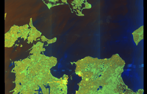
SAR coverage thumbnail
VIIRS Thermal Anomaly
Status: ✗ No detections
No VIIRS thermal/light detections in corridor
Show Raw Evidence JSON
{
    "gap_minutes": 346.5,
    "last_seen": {
        "ts": "2026-03-16T12:48:22+00:00",
        "lat": 55.83456670000000343634383170865476131439208984375,
        "lon": 10.8359000000000005314859663485549390316009521484375,
        "sog": 12.0999999999999996447286321199499070644378662109375,
        "zone_id": "discovered_071"
    },
    "next_seen": {
        "ts": "2026-03-16T18:34:52+00:00",
        "lat": 56.84158330000000347581590176559984683990478515625,
        "lon": 11.8572000000000006281197784119285643100738525390625,
        "zone_ids": [
            "discovered_057",
            "discovered_115"
        ]
    },
    "gap_enrichment": {
        "status": "done",
        "corridor": {
            "start": {
                "lat": 55.83456670000000343634383170865476131439208984375,
                "lon": 10.8359000000000005314859663485549390316009521484375,
                "ts": "2026-03-16T12:48:22+00:00"
            },
            "end": {
                "lat": 56.84158330000000347581590176559984683990478515625,
                "lon": 11.8572000000000006281197784119285643100738525390625,
                "ts": "2026-03-16T18:34:52+00:00"
            },
            "bbox": {
                "min_lat": 55.6543869999999998299244907684624195098876953125,
                "min_lon": 10.5108359999999994016661730711348354816436767578125,
                "max_lat": 57.02176299999999997680788510479032993316650390625,
                "max_lon": 12.182263999999999981582732289098203182220458984375
            },
            "buffer_km": 20
        },
        "sar": {
            "status": "snapshot",
            "scene_id": "S1C_IW_GRDH_1SDV_20260316T165204_20260316T165229_006792_00DBA6_DD75_COG",
            "scene_time": "2026-03-16T16:52:04.762275Z",
            "platform": "sentinel-1c",
            "assets": {
                "preview_url": "https:\/\/fleetleaks.com\/wp-content\/uploads\/fleetleaks-evidence\/sar-imagery\/2026\/03\/event_223809_thumbnail_20260316184510.png",
                "stored_path": "\/home\/fleetleaks\/public_html\/wp-content\/uploads\/fleetleaks-evidence\/sar-imagery\/2026\/03\/event_223809_thumbnail_20260316184510.png",
                "source": "copernicus_dataspace"
            },
            "notes": "SAR snapshot available for review"
        },
        "viirs": {
            "status": "not_found",
            "notes": "No VIIRS thermal\/light detections in corridor"
        },
        "searched_at": "2026-03-16T18:45:04.831566+00:00"
    }
}- Zone: Cape Peninsula Surveillance Zone
- Duration: 1h 45m
- Data Points: 70 AIS positions
- Period: 2026-03-16T11:03:22+00:00 to 2026-03-16T12:48:22+00:00
Show Raw Evidence JSON
{
    "zone_id": "discovered_071",
    "zone_name": "Norwegian Sea Sanctioned Vessel Zone",
    "dwell_minutes": 105,
    "points_in_zone": 70,
    "first_point": {
        "ts": "2026-03-16T11:03:22+00:00",
        "lat": 55.5307667000000009238647180609405040740966796875,
        "lon": 10.86299999999999954525264911353588104248046875
    },
    "last_point": {
        "ts": "2026-03-16T12:48:22+00:00",
        "lat": 55.83456670000000343634383170865476131439208984375,
        "lon": 10.8359000000000005314859663485549390316009521484375
    }
}- Gap Duration: 6h 6m
- Last Seen: 2026-03-16T02:35:42+00:00 at 54.4549, 11.7204 (Zone: Baltic Sea Surveillance Zone)
- Next Seen: 2026-03-16T08:41:41+00:00 at 55.1667, 11.0207
🛰️ Gap Corroboration
These are snapshots that may corroborate presence during the gap. They do not reconstruct a continuous route.
SAR Imagery (Sentinel-1)
Status: ✗ No SAR coverage
No Sentinel-1 scenes covering corridor and time window
VIIRS Thermal Anomaly
Status: ✗ No detections
No VIIRS thermal/light detections in corridor
Show Raw Evidence JSON
{
    "gap_minutes": 366,
    "last_seen": {
        "ts": "2026-03-16T02:35:42+00:00",
        "lat": 54.454866699999996626502252183854579925537109375,
        "lon": 11.7204166999999994658310242812149226665496826171875,
        "sog": 12.9000000000000003552713678800500929355621337890625,
        "zone_id": "discovered_092"
    },
    "next_seen": {
        "ts": "2026-03-16T08:41:41+00:00",
        "lat": 55.16666670000000038953658076934516429901123046875,
        "lon": 11.0206999999999997186250766390003263950347900390625,
        "zone_ids": [
            "discovered_056"
        ]
    },
    "gap_enrichment": {
        "status": "not_found",
        "corridor": {
            "start": {
                "lat": 54.454866699999996626502252183854579925537109375,
                "lon": 11.7204166999999994658310242812149226665496826171875,
                "ts": "2026-03-16T02:35:42+00:00"
            },
            "end": {
                "lat": 55.16666670000000038953658076934516429901123046875,
                "lon": 11.0206999999999997186250766390003263950347900390625,
                "ts": "2026-03-16T08:41:41+00:00"
            },
            "bbox": {
                "min_lat": 54.274687000000000125510268844664096832275390625,
                "min_lon": 10.7080380000000001672333382884971797466278076171875,
                "max_lat": 55.346846999999996796759660355746746063232421875,
                "max_lon": 12.033077999999999718738763476721942424774169921875
            },
            "buffer_km": 20
        },
        "sar": {
            "status": "not_found",
            "notes": "No Sentinel-1 scenes covering corridor and time window"
        },
        "viirs": {
            "status": "not_found",
            "notes": "No VIIRS thermal\/light detections in corridor"
        },
        "searched_at": "2026-03-16T09:00:01.965148+00:00"
    }
}- Zone: Baltic Sea Surveillance Zone
- Duration: 1h 21m
- Data Points: 75 AIS positions
- Period: 2026-03-16T01:14:42+00:00 to 2026-03-16T02:35:42+00:00
Show Raw Evidence JSON
{
    "zone_id": "discovered_092",
    "zone_name": "Baltic Sea Surveillance Zone",
    "dwell_minutes": 81,
    "points_in_zone": 75,
    "first_point": {
        "ts": "2026-03-16T01:14:42+00:00",
        "lat": 54.4592999999999989313437254168093204498291015625,
        "lon": 12.1919667000000000456338966614566743373870849609375
    },
    "last_point": {
        "ts": "2026-03-16T02:35:42+00:00",
        "lat": 54.454866699999996626502252183854579925537109375,
        "lon": 11.7204166999999994658310242812149226665496826171875
    }
}- Zone: Baltic Sea Surveillance Zone
- Duration: 1h 52m
- Data Points: 76 AIS positions
- Period: 2026-03-16T00:43:02+00:00 to 2026-03-16T02:35:42+00:00
Show Raw Evidence JSON
{
    "zone_id": "discovered_092",
    "zone_name": "Baltic Sea Surveillance Zone",
    "dwell_minutes": 112.7000000000000028421709430404007434844970703125,
    "points_in_zone": 76,
    "first_point": {
        "ts": "2026-03-16T00:43:02+00:00",
        "lat": 54.56439999999999912461134954355657100677490234375,
        "lon": 12.2541832999999993347728377557359635829925537109375
    },
    "last_point": {
        "ts": "2026-03-16T02:35:42+00:00",
        "lat": 54.454866699999996626502252183854579925537109375,
        "lon": 11.7204166999999994658310242812149226665496826171875
    }
}- Zone: Southern Öresund Surveillance Zone
- Duration: 1h 54m
- Data Points: 16 AIS positions
- Period: 2026-03-15T15:38:21+00:00 to 2026-03-15T17:32:32+00:00
Show Raw Evidence JSON
{
    "zone_id": "discovered_003",
    "zone_name": "Southern \u00d6resund Surveillance Zone",
    "dwell_minutes": 114.2000000000000028421709430404007434844970703125,
    "points_in_zone": 16,
    "first_point": {
        "ts": "2026-03-15T15:38:21+00:00",
        "lat": 55.55123329999999981509972712956368923187255859375,
        "lon": 15.0201832999999993489836924709379673004150390625
    },
    "last_point": {
        "ts": "2026-03-15T17:32:32+00:00",
        "lat": 55.324416700000000446379999630153179168701171875,
        "lon": 14.4437666999999994033032635343261063098907470703125
    }
}- Zone: Southern Öresund Surveillance Zone
- Duration: 2h 38m
- Data Points: 17 AIS positions
- Period: 2026-03-15T14:54:22+00:00 to 2026-03-15T17:32:32+00:00
Show Raw Evidence JSON
{
    "zone_id": "discovered_003",
    "zone_name": "Southern \u00d6resund Surveillance Zone",
    "dwell_minutes": 158.19999999999998863131622783839702606201171875,
    "points_in_zone": 17,
    "first_point": {
        "ts": "2026-03-15T14:54:22+00:00",
        "lat": 55.62081669999999888887032284401357173919677734375,
        "lon": 15.2708832999999994939344105659984052181243896484375
    },
    "last_point": {
        "ts": "2026-03-15T17:32:32+00:00",
        "lat": 55.324416700000000446379999630153179168701171875,
        "lon": 14.4437666999999994033032635343261063098907470703125
    }
}- Zone: Baltic Exit/Tallinn Approach
- Duration: 1h 27m
- Data Points: 57 AIS positions
- Period: 2026-03-14T04:24:58+00:00 to 2026-03-14T05:52:39+00:00
Show Raw Evidence JSON
{
    "zone_id": "russia_baltic_transit",
    "zone_name": "Baltic Exit\/Tallinn Approach",
    "dwell_minutes": 87.7000000000000028421709430404007434844970703125,
    "points_in_zone": 57,
    "first_point": {
        "ts": "2026-03-14T04:24:58+00:00",
        "lat": 59.88345000000000339923644787631928920745849609375,
        "lon": 25.4071832999999998037310433574020862579345703125
    },
    "last_point": {
        "ts": "2026-03-14T05:52:39+00:00",
        "lat": 59.82985000000000042064129956997931003570556640625,
        "lon": 24.805299999999999016608853708021342754364013671875
    }
}- Zone: Baltic Exit/Tallinn Approach
- Duration: 2h 52m
- Data Points: 69 AIS positions
- Period: 2026-03-14T03:00:30+00:00 to 2026-03-14T05:52:39+00:00
Show Raw Evidence JSON
{
    "zone_id": "russia_baltic_transit",
    "zone_name": "Baltic Exit\/Tallinn Approach",
    "dwell_minutes": 172.19999999999998863131622783839702606201171875,
    "points_in_zone": 69,
    "first_point": {
        "ts": "2026-03-14T03:00:30+00:00",
        "lat": 59.94858330000000279369487543590366840362548828125,
        "lon": 25.991299999999998959765434847213327884674072265625
    },
    "last_point": {
        "ts": "2026-03-14T05:52:39+00:00",
        "lat": 59.82985000000000042064129956997931003570556640625,
        "lon": 24.805299999999999016608853708021342754364013671875
    }
}- Zone: Baltic Exit/Tallinn Approach
- Duration: 2h 55m
- Data Points: 70 AIS positions
- Period: 2026-03-14T02:57:18+00:00 to 2026-03-14T05:52:39+00:00
Show Raw Evidence JSON
{
    "zone_id": "russia_baltic_transit",
    "zone_name": "Baltic Exit\/Tallinn Approach",
    "dwell_minutes": 175.30000000000001136868377216160297393798828125,
    "points_in_zone": 70,
    "first_point": {
        "ts": "2026-03-14T02:57:18+00:00",
        "lat": 59.951633299999997461782186292111873626708984375,
        "lon": 26.0133332999999993262463249266147613525390625
    },
    "last_point": {
        "ts": "2026-03-14T05:52:39+00:00",
        "lat": 59.82985000000000042064129956997931003570556640625,
        "lon": 24.805299999999999016608853708021342754364013671875
    }
}Source snapshot
| Sanctioner | As of | Entity ID |
|---|---|---|
| 🇬🇧 UK | 2025-09-29 | 9278064 |
We mirror official lists; always verify at the source.
Sanctioned on the same day
- ADHARA · IMO 9353125 🇦🇺 AU🇨🇦 CA🇪🇺 EU🇬🇧 UK
- AKAR WEST · IMO 9258167 🇦🇺 AU🇨🇦 CA🇪🇺 EU🇳🇿 NZ🇬🇧 UK
- ATLANTICOS · IMO 9282986 🇦🇺 AU🇨🇦 CA🇪🇺 EU🇳🇿 NZ🇬🇧 UK
- BELOMOR · IMO 9384435 🇦🇺 AU🇨🇦 CA🇪🇺 EU🇳🇿 NZ🇬🇧 UK
- Blue · IMO 9236353 🇦🇺 AU🇨🇦 CA🇪🇺 EU🇳🇿 NZ🇬🇧 UK
- Blue Talu · IMO 9334557 🇦🇺 AU🇨🇦 CA🇪🇺 EU🇬🇧 UK
- C Viking · IMO 9261657 🇦🇺 AU🇨🇦 CA🇪🇺 EU🇳🇿 NZ🇬🇧 UK
- CAVELA · IMO 9259733 🇦🇺 AU🇨🇦 CA🇪🇺 EU🇬🇧 UK