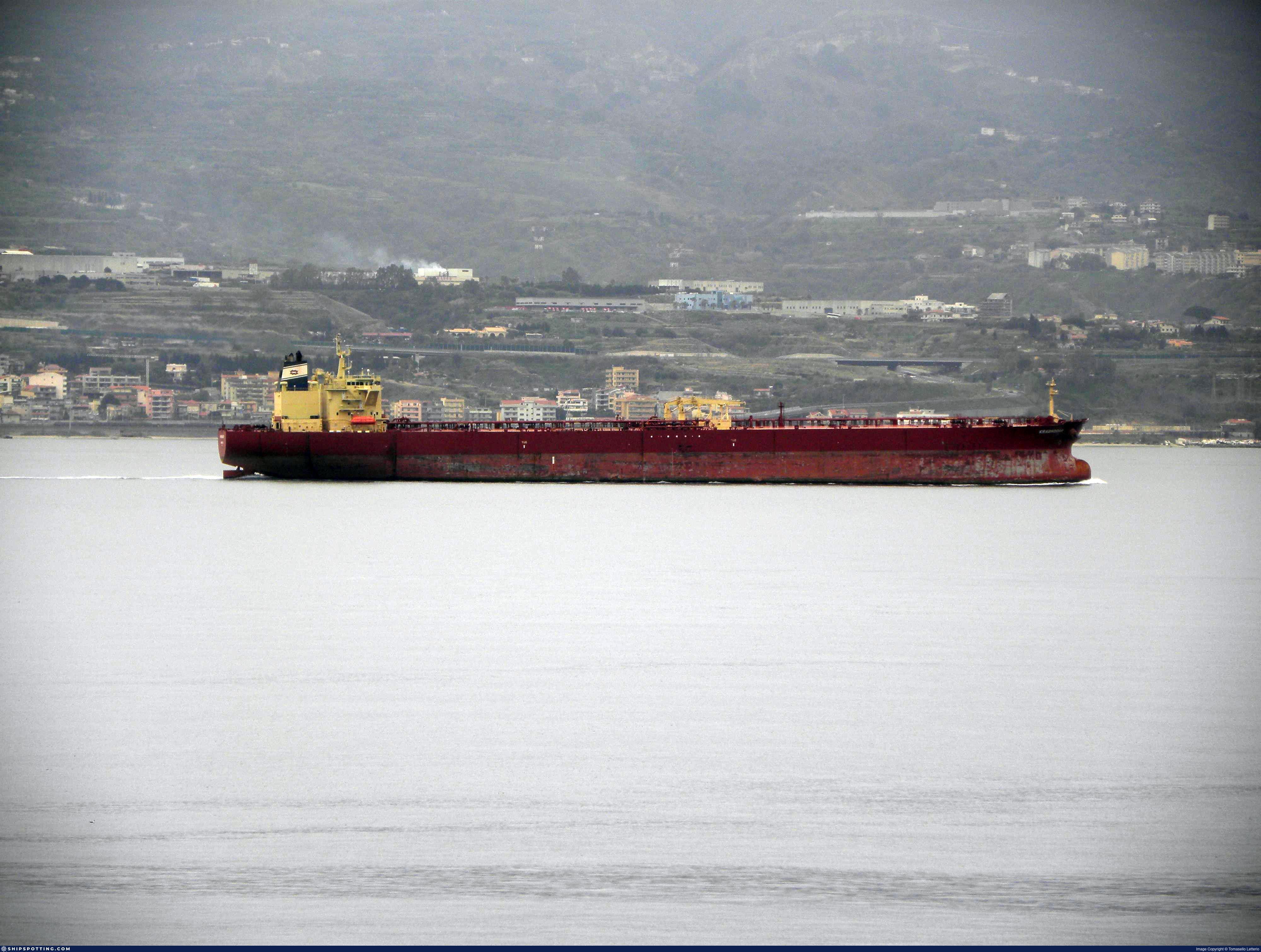
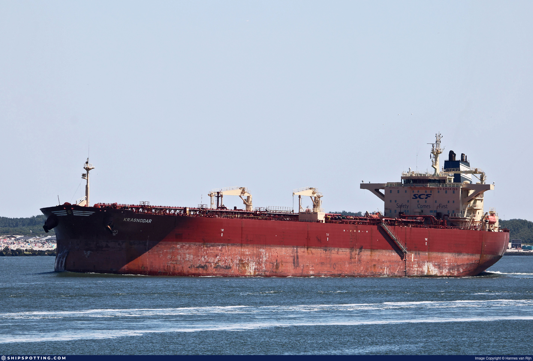
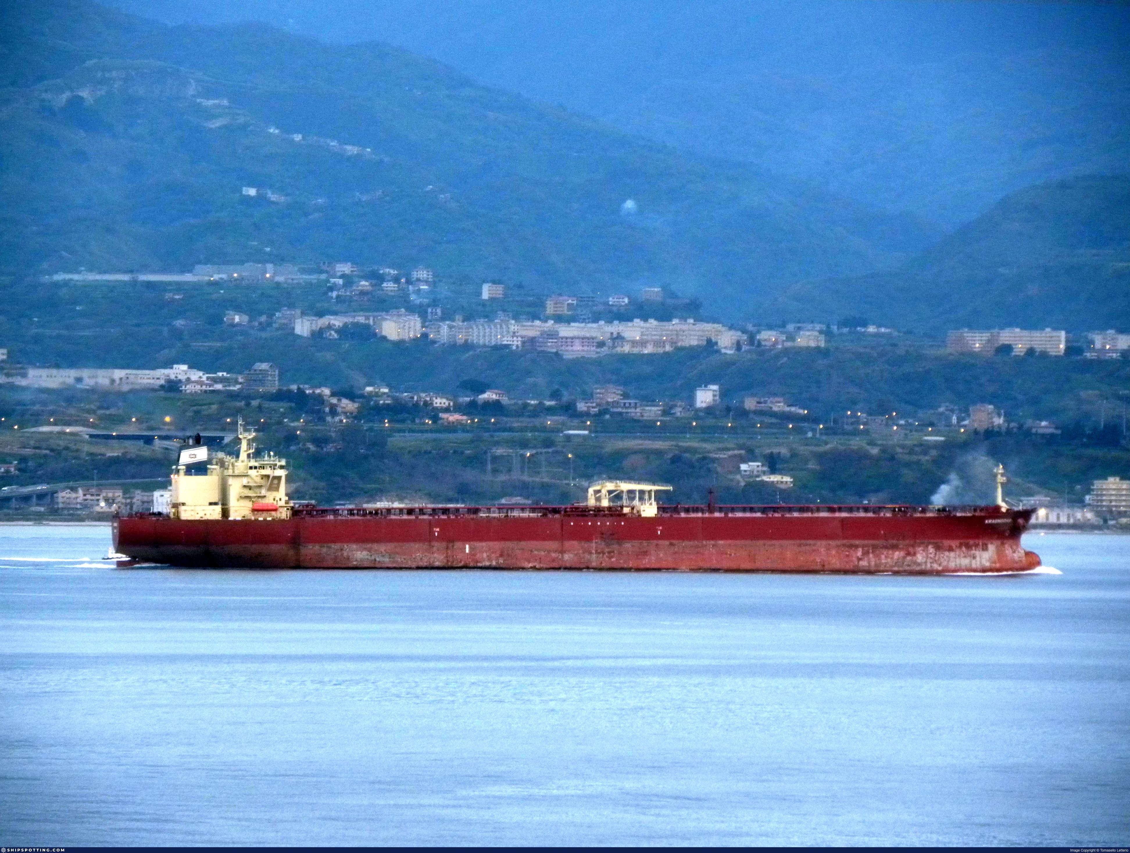
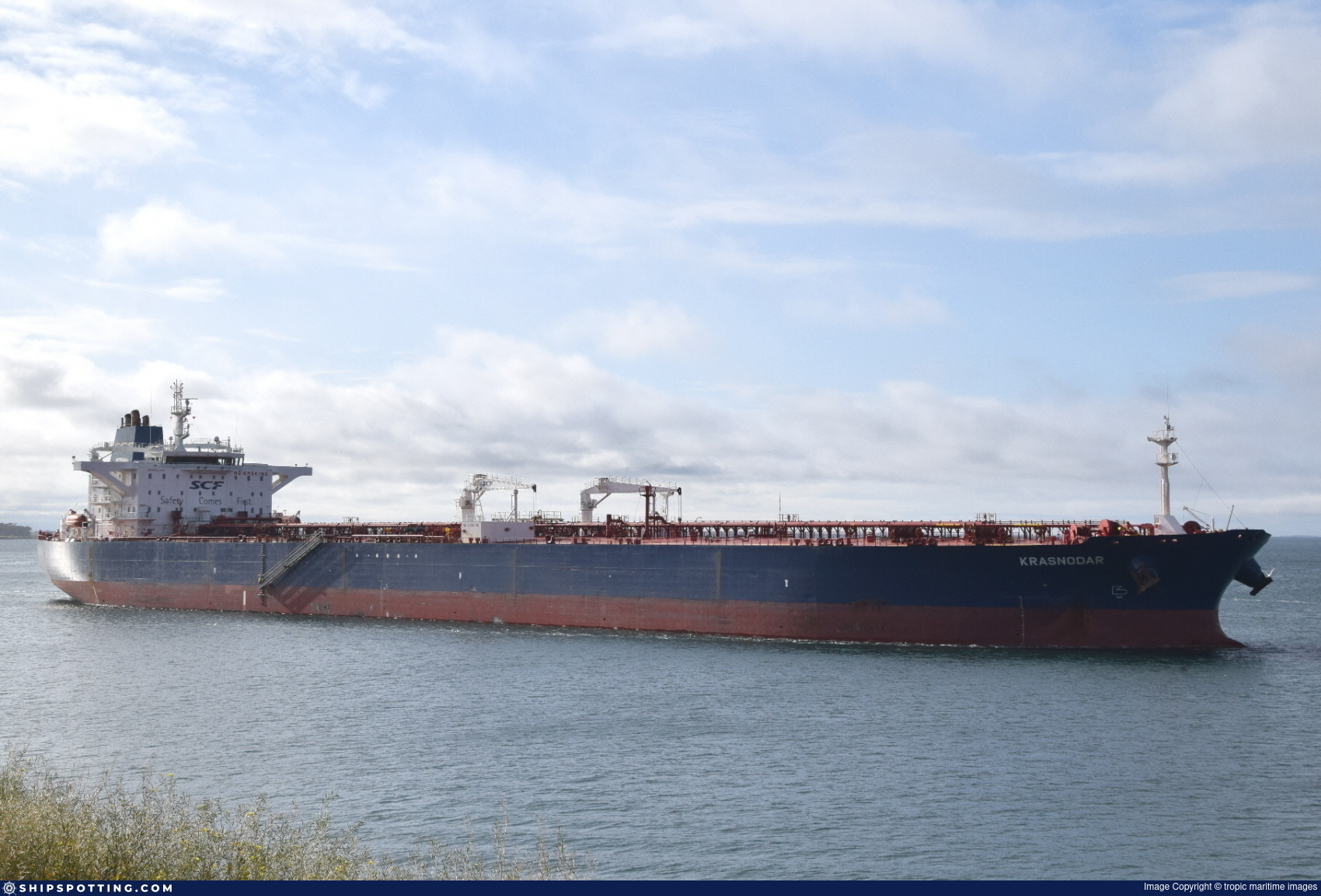
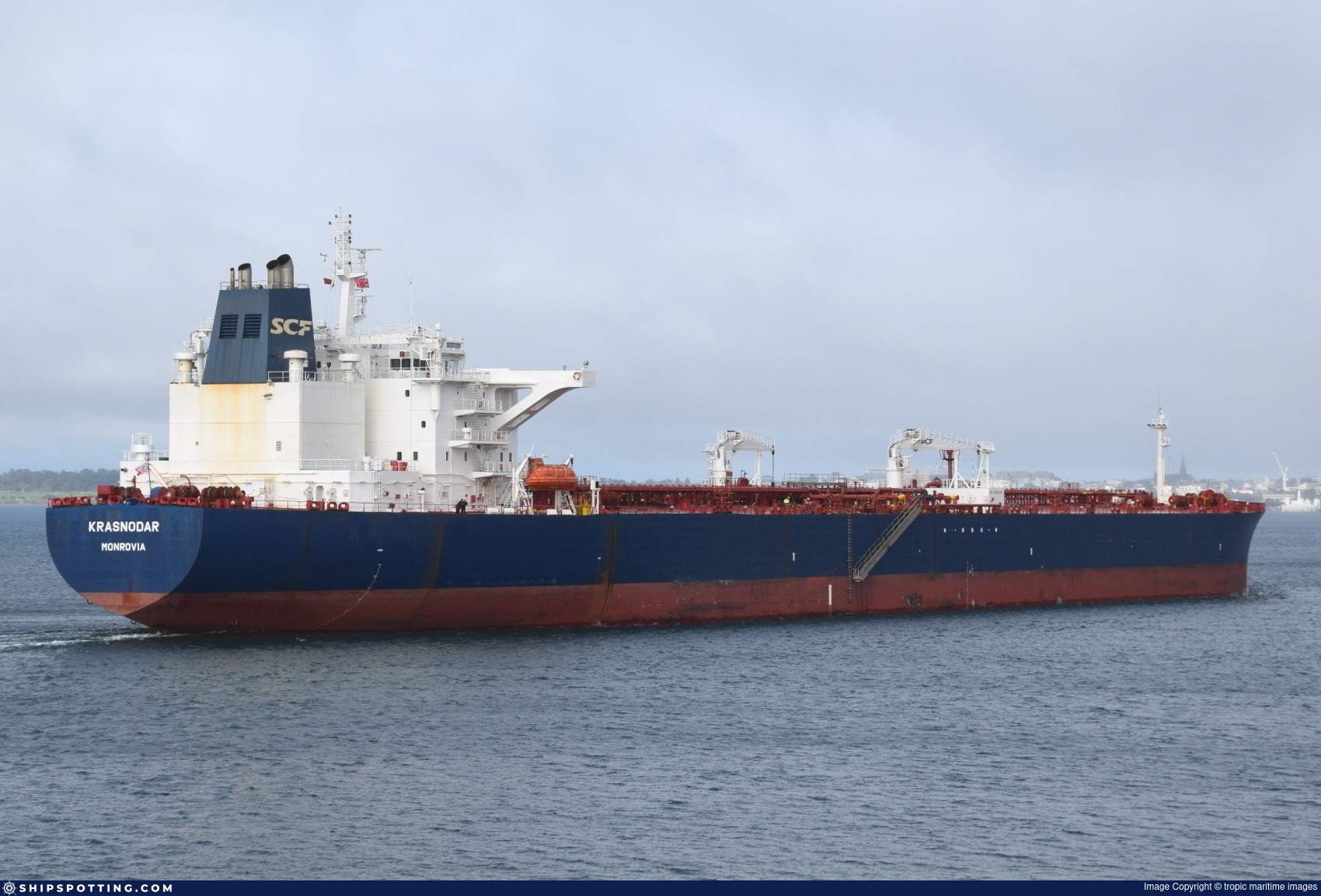
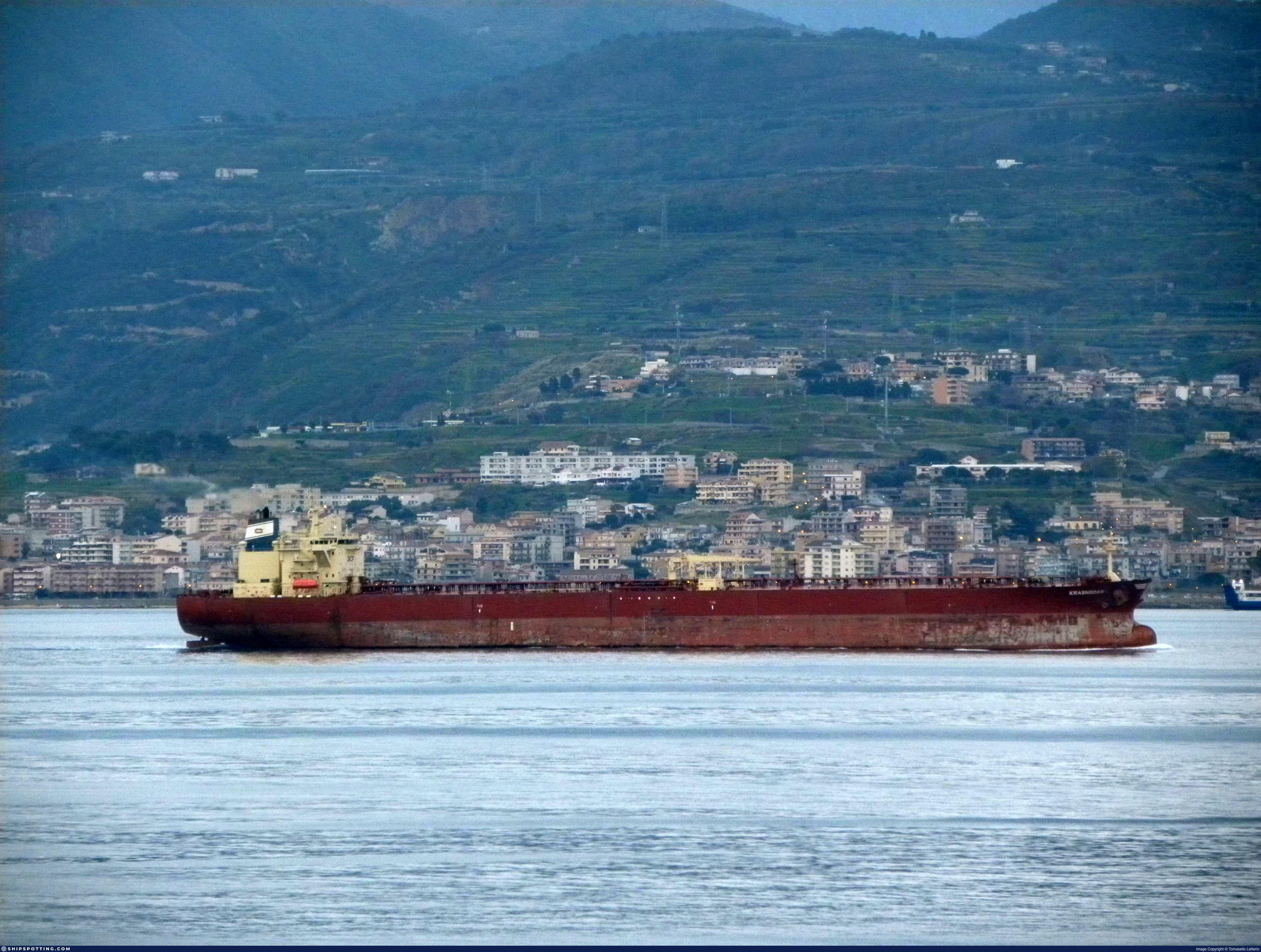
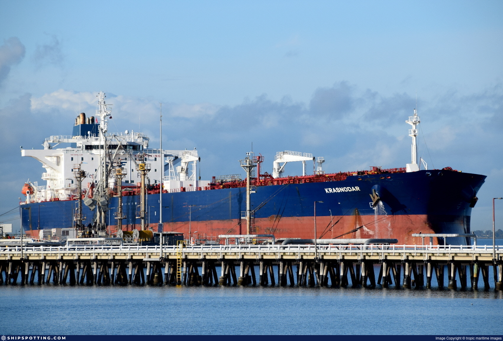
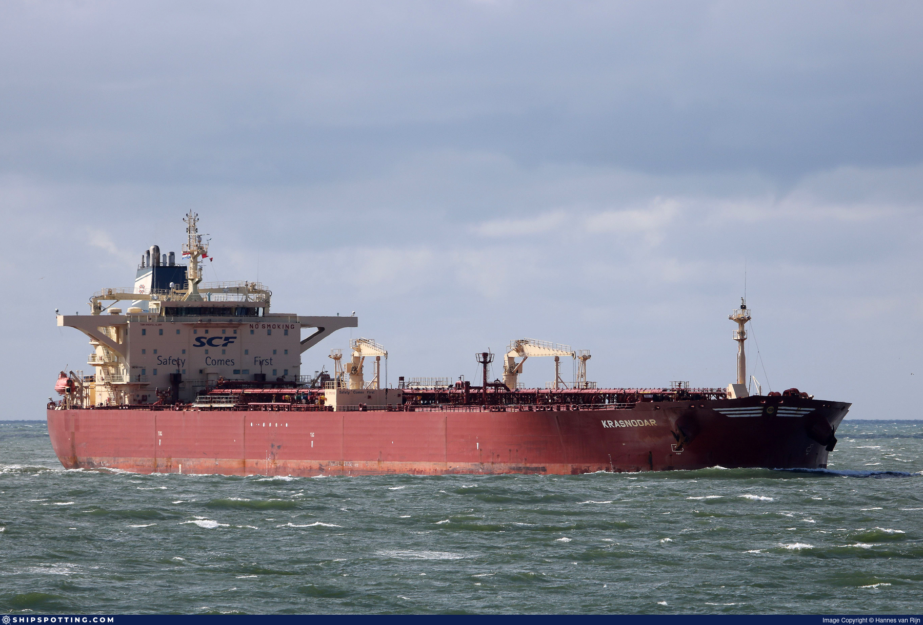
IMO 9270517
Vessel information
Sanctioned by
Company & Ownership
Management & Operations
Classification & Safety
Port State Control (PSC) Inspections
Survey Renewal & Certificates
| Code | Type | Issuer | Issued | Expires |
|---|---|---|---|---|
| 501 | Cargo Ship Safety Construction | RINA Services S.p.A. (186) | 04/01/2024 | 19/08/2028 |
| 505 | International Oil Pollution Prevention (IOPP) | RINA Services S.p.A. (186) | 04/01/2024 | 19/08/2028 |
Programs & Notes
SEMA (Canada) — vessel designations | The Russia (Sanctions) (EU Exit) Regulations 2019 | Added in EU Sanctions Package 17 | (Council Decision (CFSP) 2025/931, Annex XVI to Decision 2014/512/CFSP) | Press Release | Official Journal
DateOfListing: 2025-05-21 || DateDesignated: 2025-07-21 | Shipping sanctions: (see “Other information”) | Shipping sanctions: a specified ship is prohibited from being provided with access to or having its master or pilot cause it to enter a port in the UK, may have its registration on the UK Ship Register terminated, and a master or pilot of a specified ship may be given a port barring direction, a detention direction, and a port entry direction or a movement direction. | IMO 9270517 (“Cindy”) is, has been or is likely to be involved in activity whose object or effect is to destabilise Ukraine or undermine or threaten the territorial integrity, sovereignty or independence of Ukraine or to obtain a benefit from or support the Government of Russia. Namely, 9270517 is involved in carrying oil or oil products that originated in Russia from Russia to a third country.
Vessel Changes
 🔄 Owner
AIS Events
45 events detected • 14 zones • Last: Jun 2, 2026
- Zone: discovered_124
- Duration: 1h 26m
- Data Points: 26 AIS positions
- Period: 2026-06-02T22:09:25+00:00 to 2026-06-02T23:36:03+00:00
Show Raw Evidence JSON
{
    "zone_id": "discovered_124",
    "zone_name": "English Channel Surveillance Zone",
    "dwell_minutes": 86.599999999999994315658113919198513031005859375,
    "points_in_zone": 26,
    "first_point": {
        "ts": "2026-06-02T22:09:25+00:00",
        "lat": 50.4517732999999992671291693113744258880615234375,
        "lon": -0.281261700000000003374367452124715782701969146728515625
    },
    "last_point": {
        "ts": "2026-06-02T23:36:03+00:00",
        "lat": 50.39806999999999703732100897468626499176025390625,
        "lon": -0.58683669999999998889705921101267449557781219482421875
    }
}- Zone: discovered_124
- Duration: 2h 27m
- Data Points: 41 AIS positions
- Period: 2026-06-02T21:08:37+00:00 to 2026-06-02T23:36:03+00:00
Show Raw Evidence JSON
{
    "zone_id": "discovered_124",
    "zone_name": "English Channel Surveillance Zone",
    "dwell_minutes": 147.400000000000005684341886080801486968994140625,
    "points_in_zone": 41,
    "first_point": {
        "ts": "2026-06-02T21:08:37+00:00",
        "lat": 50.48658999999999963392838253639638423919677734375,
        "lon": -0.0734100000000000030286884111774270422756671905517578125
    },
    "last_point": {
        "ts": "2026-06-02T23:36:03+00:00",
        "lat": 50.39806999999999703732100897468626499176025390625,
        "lon": -0.58683669999999998889705921101267449557781219482421875
    }
}- Zone: discovered_124
- Duration: 3h 34m
- Data Points: 66 AIS positions
- Period: 2026-06-02T20:02:02+00:00 to 2026-06-02T23:36:03+00:00
Show Raw Evidence JSON
{
    "zone_id": "discovered_124",
    "zone_name": "English Channel Surveillance Zone",
    "dwell_minutes": 214,
    "points_in_zone": 66,
    "first_point": {
        "ts": "2026-06-02T20:02:02+00:00",
        "lat": 50.53016670000000232221282203681766986846923828125,
        "lon": 0.1711866999999999972015274352088454179465770721435546875
    },
    "last_point": {
        "ts": "2026-06-02T23:36:03+00:00",
        "lat": 50.39806999999999703732100897468626499176025390625,
        "lon": -0.58683669999999998889705921101267449557781219482421875
    }
}- Zone: discovered_124
- Duration: 4h 8m
- Data Points: 89 AIS positions
- Period: 2026-06-02T19:27:32+00:00 to 2026-06-02T23:36:03+00:00
Show Raw Evidence JSON
{
    "zone_id": "discovered_124",
    "zone_name": "English Channel Surveillance Zone",
    "dwell_minutes": 248.5,
    "points_in_zone": 89,
    "first_point": {
        "ts": "2026-06-02T19:27:32+00:00",
        "lat": 50.55382329999999768688212498091161251068115234375,
        "lon": 0.31111169999999999102868741829297505319118499755859375
    },
    "last_point": {
        "ts": "2026-06-02T23:36:03+00:00",
        "lat": 50.39806999999999703732100897468626499176025390625,
        "lon": -0.58683669999999998889705921101267449557781219482421875
    }
}- Zone: discovered_132
- Duration: 1h 16m
- Data Points: 35 AIS positions
- Period: 2026-06-02T18:30:18+00:00 to 2026-06-02T19:46:46+00:00
Show Raw Evidence JSON
{
    "zone_id": "discovered_132",
    "zone_name": "English Channel Surveillance Zone",
    "dwell_minutes": 76.5,
    "points_in_zone": 35,
    "first_point": {
        "ts": "2026-06-02T18:30:18+00:00",
        "lat": 50.60170000000000101181285572238266468048095703125,
        "lon": 0.56637000000000004007461029686965048313140869140625
    },
    "last_point": {
        "ts": "2026-06-02T19:46:46+00:00",
        "lat": 50.540559999999999263309291563928127288818359375,
        "lon": 0.231594999999999995310417943983338773250579833984375
    }
}- Zone: discovered_132
- Duration: 2h 14m
- Data Points: 36 AIS positions
- Period: 2026-06-02T17:32:24+00:00 to 2026-06-02T19:46:46+00:00
Show Raw Evidence JSON
{
    "zone_id": "discovered_132",
    "zone_name": "English Channel Surveillance Zone",
    "dwell_minutes": 134.400000000000005684341886080801486968994140625,
    "points_in_zone": 36,
    "first_point": {
        "ts": "2026-06-02T17:32:24+00:00",
        "lat": 50.71231999999999828787622391246259212493896484375,
        "lon": 0.78938330000000000996607241177116520702838897705078125
    },
    "last_point": {
        "ts": "2026-06-02T19:46:46+00:00",
        "lat": 50.540559999999999263309291563928127288818359375,
        "lon": 0.231594999999999995310417943983338773250579833984375
    }
}- Zone: Archipelago Sea Sanction Zone
- Duration: 2h 1m
- Data Points: 32 AIS positions
- Period: 2026-06-02T12:02:56+00:00 to 2026-06-02T14:04:35+00:00
Show Raw Evidence JSON
{
    "zone_id": "discovered_002",
    "zone_name": "Archipelago Sea Sanction Zone",
    "dwell_minutes": 121.7000000000000028421709430404007434844970703125,
    "points_in_zone": 32,
    "first_point": {
        "ts": "2026-06-02T12:02:56+00:00",
        "lat": 51.255746700000003102104528807103633880615234375,
        "lon": 1.7784283000000000729556859369040466845035552978515625
    },
    "last_point": {
        "ts": "2026-06-02T14:04:35+00:00",
        "lat": 51.0703299999999984493115334771573543548583984375,
        "lon": 1.4556649999999999867128508412861265242099761962890625
    }
}- Zone: Archipelago Sea Sanction Zone
- Duration: 2h 22m
- Data Points: 34 AIS positions
- Period: 2026-06-02T11:41:53+00:00 to 2026-06-02T14:04:35+00:00
Show Raw Evidence JSON
{
    "zone_id": "discovered_002",
    "zone_name": "Archipelago Sea Sanction Zone",
    "dwell_minutes": 142.69999999999998863131622783839702606201171875,
    "points_in_zone": 34,
    "first_point": {
        "ts": "2026-06-02T11:41:53+00:00",
        "lat": 51.30783670000000284971974906511604785919189453125,
        "lon": 1.824373299999999975540276864194311201572418212890625
    },
    "last_point": {
        "ts": "2026-06-02T14:04:35+00:00",
        "lat": 51.0703299999999984493115334771573543548583984375,
        "lon": 1.4556649999999999867128508412861265242099761962890625
    }
}- Zone: discovered_102
- Duration: 1h 46m
- Data Points: 21 AIS positions
- Period: 2026-06-01T21:04:52+00:00 to 2026-06-01T22:51:23+00:00
Show Raw Evidence JSON
{
    "zone_id": "discovered_102",
    "zone_name": "Alboran Sea Surveillance Zone",
    "dwell_minutes": 106.5,
    "points_in_zone": 21,
    "first_point": {
        "ts": "2026-06-01T21:04:52+00:00",
        "lat": 53.7296467000000035341145121492445468902587890625,
        "lon": 3.69581830000000000069348971010185778141021728515625
    },
    "last_point": {
        "ts": "2026-06-01T22:51:23+00:00",
        "lat": 53.41495669999999762467268737964332103729248046875,
        "lon": 3.507503300000000212577333513763733208179473876953125
    }
}- Gap Duration: 4h 35m
- Last Seen: 2026-06-01T14:12:32+00:00 at 54.6711, 5.0017 (Zone: North Sea Monitoring Zone)
- Next Seen: 2026-06-01T18:48:13+00:00 at 53.9640, 4.2287
🛰️ Gap Corroboration
These are snapshots that may corroborate presence during the gap. They do not reconstruct a continuous route.
SAR Imagery (Sentinel-1)
Status: ✗ No SAR coverage
No Sentinel-1 scenes covering corridor and time window
VIIRS Thermal Anomaly
Status: ✗ No detections
No VIIRS thermal/light detections in corridor
Show Raw Evidence JSON
{
    "gap_minutes": 275.69999999999998863131622783839702606201171875,
    "last_seen": {
        "ts": "2026-06-01T14:12:32+00:00",
        "lat": 54.67108669999999648325683665461838245391845703125,
        "lon": 5.00171000000000010032863428932614624500274658203125,
        "sog": 11.5999999999999996447286321199499070644378662109375,
        "zone_id": "discovered_122"
    },
    "next_seen": {
        "ts": "2026-06-01T18:48:13+00:00",
        "lat": 53.96399670000000270420059678144752979278564453125,
        "lon": 4.2287049999999997140776031301356852054595947265625,
        "zone_ids": [
            "discovered_122"
        ]
    },
    "gap_enrichment": {
        "status": "not_found",
        "corridor": {
            "start": {
                "lat": 54.67108669999999648325683665461838245391845703125,
                "lon": 5.00171000000000010032863428932614624500274658203125,
                "ts": "2026-06-01T14:12:32+00:00"
            },
            "end": {
                "lat": 53.96399670000000270420059678144752979278564453125,
                "lon": 4.2287049999999997140776031301356852054595947265625,
                "ts": "2026-06-01T18:48:13+00:00"
            },
            "bbox": {
                "min_lat": 53.78381699999999909778125584125518798828125,
                "min_lon": 3.9198029999999999262172423186711966991424560546875,
                "max_lat": 54.85126699999999999590727384202182292938232421875,
                "max_lon": 5.31061199999999988818899510079063475131988525390625
            },
            "buffer_km": 20
        },
        "sar": {
            "status": "not_found",
            "notes": "No Sentinel-1 scenes covering corridor and time window"
        },
        "viirs": {
            "status": "not_found",
            "notes": "No VIIRS thermal\/light detections in corridor"
        },
        "searched_at": "2026-06-01T19:00:04.161091+00:00"
    }
}- Gap Duration: 4h 35m
- Last Seen: 2026-06-01T14:12:32+00:00 at 54.6711, 5.0017 (Zone: English Channel Surveillance Zone)
- Next Seen: 2026-06-01T18:48:13+00:00 at 53.9640, 4.2287
🛰️ Gap Corroboration
These are snapshots that may corroborate presence during the gap. They do not reconstruct a continuous route.
SAR Imagery (Sentinel-1)
Status: ✗ No SAR coverage
No Sentinel-1 scenes covering corridor and time window
VIIRS Thermal Anomaly
Status: ✗ No detections
No VIIRS thermal/light detections in corridor
Show Raw Evidence JSON
{
    "gap_minutes": 275.69999999999998863131622783839702606201171875,
    "last_seen": {
        "ts": "2026-06-01T14:12:32+00:00",
        "lat": 54.67108669999999648325683665461838245391845703125,
        "lon": 5.00171000000000010032863428932614624500274658203125,
        "sog": 11.5999999999999996447286321199499070644378662109375,
        "zone_id": "discovered_062"
    },
    "next_seen": {
        "ts": "2026-06-01T18:48:13+00:00",
        "lat": 53.96399670000000270420059678144752979278564453125,
        "lon": 4.2287049999999997140776031301356852054595947265625,
        "zone_ids": [
            "discovered_122"
        ]
    },
    "gap_enrichment": {
        "status": "not_found",
        "corridor": {
            "start": {
                "lat": 54.67108669999999648325683665461838245391845703125,
                "lon": 5.00171000000000010032863428932614624500274658203125,
                "ts": "2026-06-01T14:12:32+00:00"
            },
            "end": {
                "lat": 53.96399670000000270420059678144752979278564453125,
                "lon": 4.2287049999999997140776031301356852054595947265625,
                "ts": "2026-06-01T18:48:13+00:00"
            },
            "bbox": {
                "min_lat": 53.78381699999999909778125584125518798828125,
                "min_lon": 3.9198029999999999262172423186711966991424560546875,
                "max_lat": 54.85126699999999999590727384202182292938232421875,
                "max_lon": 5.31061199999999988818899510079063475131988525390625
            },
            "buffer_km": 20
        },
        "sar": {
            "status": "not_found",
            "notes": "No Sentinel-1 scenes covering corridor and time window"
        },
        "viirs": {
            "status": "not_found",
            "notes": "No VIIRS thermal\/light detections in corridor"
        },
        "searched_at": "2026-06-01T19:00:01.374268+00:00"
    }
}- Zone: North Sea Monitoring Zone
- Duration: 5h 2m
- Data Points: 10 AIS positions
- Period: 2026-06-01T14:00:33+00:00 to 2026-06-01T19:02:33+00:00
Show Raw Evidence JSON
{
    "zone_id": "discovered_122",
    "zone_name": "North Sea Monitoring Zone",
    "dwell_minutes": 302,
    "points_in_zone": 10,
    "first_point": {
        "ts": "2026-06-01T14:00:33+00:00",
        "lat": 54.70472670000000192658262676559388637542724609375,
        "lon": 5.03416330000000034061713449773378670215606689453125
    },
    "last_point": {
        "ts": "2026-06-01T19:02:33+00:00",
        "lat": 53.94061669999999963920345180667936801910400390625,
        "lon": 4.17117330000000041678731577121652662754058837890625
    }
}- Zone: North Sea Monitoring Zone
- Duration: 5h 4m
- Data Points: 11 AIS positions
- Period: 2026-06-01T13:58:03+00:00 to 2026-06-01T19:02:33+00:00
Show Raw Evidence JSON
{
    "zone_id": "discovered_122",
    "zone_name": "North Sea Monitoring Zone",
    "dwell_minutes": 304.5,
    "points_in_zone": 11,
    "first_point": {
        "ts": "2026-06-01T13:58:03+00:00",
        "lat": 54.71174330000000196605469682253897190093994140625,
        "lon": 5.04093999999999997640998117276467382907867431640625
    },
    "last_point": {
        "ts": "2026-06-01T19:02:33+00:00",
        "lat": 53.94061669999999963920345180667936801910400390625,
        "lon": 4.17117330000000041678731577121652662754058837890625
    }
}- Zone: Black Sea Sanctioned Vessel Monitoring Zone
- Duration: 2h 2m
- Data Points: 14 AIS positions
- Period: 2026-05-31T16:07:42+00:00 to 2026-05-31T18:10:33+00:00
Show Raw Evidence JSON
{
    "zone_id": "discovered_025",
    "zone_name": "Black Sea Sanctioned Vessel Monitoring Zone",
    "dwell_minutes": 122.7999999999999971578290569595992565155029296875,
    "points_in_zone": 14,
    "first_point": {
        "ts": "2026-05-31T16:07:42+00:00",
        "lat": 57.7021399999999999863575794734060764312744140625,
        "lon": 9.43474499999999949295670376159250736236572265625
    },
    "last_point": {
        "ts": "2026-05-31T18:10:33+00:00",
        "lat": 57.54506669999999957099134917370975017547607421875,
        "lon": 8.8401267000000007811877367203123867511749267578125
    }
}- Zone: Black Sea Sanctioned Vessel Monitoring Zone
- Duration: 2h 28m
- Data Points: 18 AIS positions
- Period: 2026-05-31T15:42:03+00:00 to 2026-05-31T18:10:33+00:00
Show Raw Evidence JSON
{
    "zone_id": "discovered_025",
    "zone_name": "Black Sea Sanctioned Vessel Monitoring Zone",
    "dwell_minutes": 148.5,
    "points_in_zone": 18,
    "first_point": {
        "ts": "2026-05-31T15:42:03+00:00",
        "lat": 57.7352599999999966939867590554058551788330078125,
        "lon": 9.5607883000000004614093995769508183002471923828125
    },
    "last_point": {
        "ts": "2026-05-31T18:10:33+00:00",
        "lat": 57.54506669999999957099134917370975017547607421875,
        "lon": 8.8401267000000007811877367203123867511749267578125
    }
}- Zone: discovered_111
- Duration: 1h 28m
- Data Points: 15 AIS positions
- Period: 2026-05-31T15:06:53+00:00 to 2026-05-31T16:35:13+00:00
Show Raw Evidence JSON
{
    "zone_id": "discovered_111",
    "zone_name": "Northern Baltic Sea Surveillance Zone",
    "dwell_minutes": 88.2999999999999971578290569595992565155029296875,
    "points_in_zone": 15,
    "first_point": {
        "ts": "2026-05-31T15:06:53+00:00",
        "lat": 57.77882670000000331356204696930944919586181640625,
        "lon": 9.7371449999999999391775418189354240894317626953125
    },
    "last_point": {
        "ts": "2026-05-31T16:35:13+00:00",
        "lat": 57.6670400000000000773070496506989002227783203125,
        "lon": 9.3020882999999994211748344241641461849212646484375
    }
}- Zone: discovered_111
- Duration: 2h 30m
- Data Points: 22 AIS positions
- Period: 2026-05-31T14:04:44+00:00 to 2026-05-31T16:35:13+00:00
Show Raw Evidence JSON
{
    "zone_id": "discovered_111",
    "zone_name": "Northern Baltic Sea Surveillance Zone",
    "dwell_minutes": 150.5,
    "points_in_zone": 22,
    "first_point": {
        "ts": "2026-05-31T14:04:44+00:00",
        "lat": 57.84971329999999767323970445431768894195556640625,
        "lon": 10.0459817000000004583171175909228622913360595703125
    },
    "last_point": {
        "ts": "2026-05-31T16:35:13+00:00",
        "lat": 57.6670400000000000773070496506989002227783203125,
        "lon": 9.3020882999999994211748344241641461849212646484375
    }
}- Zone: discovered_111
- Duration: 3h 7m
- Data Points: 28 AIS positions
- Period: 2026-05-31T13:27:54+00:00 to 2026-05-31T16:35:13+00:00
Show Raw Evidence JSON
{
    "zone_id": "discovered_111",
    "zone_name": "Northern Baltic Sea Surveillance Zone",
    "dwell_minutes": 187.30000000000001136868377216160297393798828125,
    "points_in_zone": 28,
    "first_point": {
        "ts": "2026-05-31T13:27:54+00:00",
        "lat": 57.8515000000000014779288903810083866119384765625,
        "lon": 10.243771699999999924557414487935602664947509765625
    },
    "last_point": {
        "ts": "2026-05-31T16:35:13+00:00",
        "lat": 57.6670400000000000773070496506989002227783203125,
        "lon": 9.3020882999999994211748344241641461849212646484375
    }
}- Zone: Danish Straits/Skagerrak
- Duration: 1h 5m
- Data Points: 15 AIS positions
- Period: 2026-05-31T13:01:13+00:00 to 2026-05-31T14:07:03+00:00
Show Raw Evidence JSON
{
    "zone_id": "osint_danish_straits",
    "zone_name": "Danish Straits\/Skagerrak",
    "dwell_minutes": 65.7999999999999971578290569595992565155029296875,
    "points_in_zone": 15,
    "first_point": {
        "ts": "2026-05-31T13:01:13+00:00",
        "lat": 57.85358670000000103073034551925957202911376953125,
        "lon": 10.3880067000000000376758180209435522556304931640625
    },
    "last_point": {
        "ts": "2026-05-31T14:07:03+00:00",
        "lat": 57.84964000000000083900886238552629947662353515625,
        "lon": 10.03357330000000047220964916050434112548828125
    }
}- Zone: Danish Straits/Skagerrak
- Duration: 2h 6m
- Data Points: 27 AIS positions
- Period: 2026-05-31T12:00:13+00:00 to 2026-05-31T14:07:03+00:00
Show Raw Evidence JSON
{
    "zone_id": "osint_danish_straits",
    "zone_name": "Danish Straits\/Skagerrak",
    "dwell_minutes": 126.7999999999999971578290569595992565155029296875,
    "points_in_zone": 27,
    "first_point": {
        "ts": "2026-05-31T12:00:13+00:00",
        "lat": 57.85828670000000073514456744305789470672607421875,
        "lon": 10.716178299999999268266037688590586185455322265625
    },
    "last_point": {
        "ts": "2026-05-31T14:07:03+00:00",
        "lat": 57.84964000000000083900886238552629947662353515625,
        "lon": 10.03357330000000047220964916050434112548828125
    }
}- Zone: Danish Straits/Skagerrak
- Duration: 3h 6m
- Data Points: 51 AIS positions
- Period: 2026-05-31T11:00:13+00:00 to 2026-05-31T14:07:03+00:00
Show Raw Evidence JSON
{
    "zone_id": "osint_danish_straits",
    "zone_name": "Danish Straits\/Skagerrak",
    "dwell_minutes": 186.80000000000001136868377216160297393798828125,
    "points_in_zone": 51,
    "first_point": {
        "ts": "2026-05-31T11:00:13+00:00",
        "lat": 57.77806000000000352656570612452924251556396484375,
        "lon": 10.977611700000000638510755379684269428253173828125
    },
    "last_point": {
        "ts": "2026-05-31T14:07:03+00:00",
        "lat": 57.84964000000000083900886238552629947662353515625,
        "lon": 10.03357330000000047220964916050434112548828125
    }
}- Zone: Danish Straits/Skagerrak
- Duration: 4h 5m
- Data Points: 85 AIS positions
- Period: 2026-05-31T10:01:22+00:00 to 2026-05-31T14:07:03+00:00
Show Raw Evidence JSON
{
    "zone_id": "osint_danish_straits",
    "zone_name": "Danish Straits\/Skagerrak",
    "dwell_minutes": 245.69999999999998863131622783839702606201171875,
    "points_in_zone": 85,
    "first_point": {
        "ts": "2026-05-31T10:01:22+00:00",
        "lat": 57.644346699999999827923602424561977386474609375,
        "lon": 11.19584329999999994242898537777364253997802734375
    },
    "last_point": {
        "ts": "2026-05-31T14:07:03+00:00",
        "lat": 57.84964000000000083900886238552629947662353515625,
        "lon": 10.03357330000000047220964916050434112548828125
    }
}- Zone: Danish Straits/Skagerrak
- Duration: 5h 6m
- Data Points: 117 AIS positions
- Period: 2026-05-31T09:01:02+00:00 to 2026-05-31T14:07:03+00:00
Show Raw Evidence JSON
{
    "zone_id": "osint_danish_straits",
    "zone_name": "Danish Straits\/Skagerrak",
    "dwell_minutes": 306,
    "points_in_zone": 117,
    "first_point": {
        "ts": "2026-05-31T09:01:02+00:00",
        "lat": 57.50305999999999784222382004372775554656982421875,
        "lon": 11.4215932999999996155793269281275570392608642578125
    },
    "last_point": {
        "ts": "2026-05-31T14:07:03+00:00",
        "lat": 57.84964000000000083900886238552629947662353515625,
        "lon": 10.03357330000000047220964916050434112548828125
    }
}- Zone: Danish Straits/Skagerrak
- Duration: 6h 5m
- Data Points: 152 AIS positions
- Period: 2026-05-31T08:01:22+00:00 to 2026-05-31T14:07:03+00:00
Show Raw Evidence JSON
{
    "zone_id": "osint_danish_straits",
    "zone_name": "Danish Straits\/Skagerrak",
    "dwell_minutes": 365.69999999999998863131622783839702606201171875,
    "points_in_zone": 152,
    "first_point": {
        "ts": "2026-05-31T08:01:22+00:00",
        "lat": 57.3349467000000032612661016173660755157470703125,
        "lon": 11.54008329999999915571606834419071674346923828125
    },
    "last_point": {
        "ts": "2026-05-31T14:07:03+00:00",
        "lat": 57.84964000000000083900886238552629947662353515625,
        "lon": 10.03357330000000047220964916050434112548828125
    }
}- Zone: Danish Straits/Skagerrak
- Duration: 6h 33m
- Data Points: 169 AIS positions
- Period: 2026-05-31T07:33:33+00:00 to 2026-05-31T14:07:03+00:00
Show Raw Evidence JSON
{
    "zone_id": "osint_danish_straits",
    "zone_name": "Danish Straits\/Skagerrak",
    "dwell_minutes": 393.5,
    "points_in_zone": 169,
    "first_point": {
        "ts": "2026-05-31T07:33:33+00:00",
        "lat": 57.25619329999999962410583975724875926971435546875,
        "lon": 11.5848782999999997400664142332971096038818359375
    },
    "last_point": {
        "ts": "2026-05-31T14:07:03+00:00",
        "lat": 57.84964000000000083900886238552629947662353515625,
        "lon": 10.03357330000000047220964916050434112548828125
    }
}- Zone: Danish Straits/Skagerrak
- Duration: 6h 36m
- Data Points: 190 AIS positions
- Period: 2026-05-31T06:51:11+00:00 to 2026-05-31T13:27:54+00:00
Show Raw Evidence JSON
{
    "zone_id": "osint_danish_straits",
    "zone_name": "Danish Straits\/Skagerrak",
    "dwell_minutes": 396.69999999999998863131622783839702606201171875,
    "points_in_zone": 190,
    "first_point": {
        "ts": "2026-05-31T06:51:11+00:00",
        "lat": 57.1419266999999990730429999530315399169921875,
        "lon": 11.6529067000000008391680239583365619182586669921875
    },
    "last_point": {
        "ts": "2026-05-31T13:27:54+00:00",
        "lat": 57.8515000000000014779288903810083866119384765625,
        "lon": 10.243771699999999924557414487935602664947509765625
    }
}- Zone: Danish Straits/Skagerrak
- Duration: 6h 31m
- Data Points: 198 AIS positions
- Period: 2026-05-31T05:58:02+00:00 to 2026-05-31T12:29:54+00:00
Show Raw Evidence JSON
{
    "zone_id": "osint_danish_straits",
    "zone_name": "Danish Straits\/Skagerrak",
    "dwell_minutes": 391.8999999999999772626324556767940521240234375,
    "points_in_zone": 198,
    "first_point": {
        "ts": "2026-05-31T05:58:02+00:00",
        "lat": 57.001793300000002773231244646012783050537109375,
        "lon": 11.7487033000000007376684152404777705669403076171875
    },
    "last_point": {
        "ts": "2026-05-31T12:29:54+00:00",
        "lat": 57.85629999999999739657141617499291896820068359375,
        "lon": 10.55721330000000079962774179875850677490234375
    }
}- Zone: discovered_063
- Duration: 1h 2m
- Data Points: 23 AIS positions
- Period: 2026-05-31T05:17:32+00:00 to 2026-05-31T06:20:12+00:00
Show Raw Evidence JSON
{
    "zone_id": "discovered_063",
    "zone_name": "Skagerrak Monitoring Zone",
    "dwell_minutes": 62.7000000000000028421709430404007434844970703125,
    "points_in_zone": 23,
    "first_point": {
        "ts": "2026-05-31T05:17:32+00:00",
        "lat": 56.88970669999999785204636282287538051605224609375,
        "lon": 11.8230950000000003541344995028339326381683349609375
    },
    "last_point": {
        "ts": "2026-05-31T06:20:12+00:00",
        "lat": 57.0619200000000006411937647499144077301025390625,
        "lon": 11.7091550000000008679990060045383870601654052734375
    }
}- Gap Duration: 6h 26m
- Last Seen: 2026-05-30T22:50:53+00:00 at 55.9300, 10.9762 (Zone: Northwest Iberian Sea Monitoring Zone)
- Next Seen: 2026-05-31T05:17:32+00:00 at 56.8897, 11.8231
🛰️ Gap Corroboration
These are snapshots that may corroborate presence during the gap. They do not reconstruct a continuous route.
SAR Imagery (Sentinel-1)
Status: ✗ No SAR coverage
No Sentinel-1 scenes covering corridor and time window
VIIRS Thermal Anomaly
Status: ✗ No detections
No VIIRS thermal/light detections in corridor
Show Raw Evidence JSON
{
    "gap_minutes": 386.6000000000000227373675443232059478759765625,
    "last_seen": {
        "ts": "2026-05-30T22:50:53+00:00",
        "lat": 55.9300132999999988214767654426395893096923828125,
        "lon": 10.9762199999999996435917637427337467670440673828125,
        "sog": 9.5,
        "zone_id": "discovered_087"
    },
    "next_seen": {
        "ts": "2026-05-31T05:17:32+00:00",
        "lat": 56.88970669999999785204636282287538051605224609375,
        "lon": 11.8230950000000003541344995028339326381683349609375,
        "zone_ids": [
            "discovered_063"
        ]
    },
    "gap_enrichment": {
        "status": "not_found",
        "corridor": {
            "start": {
                "lat": 55.9300132999999988214767654426395893096923828125,
                "lon": 10.9762199999999996435917637427337467670440673828125,
                "ts": "2026-05-30T22:50:53+00:00"
            },
            "end": {
                "lat": 56.88970669999999785204636282287538051605224609375,
                "lon": 11.8230950000000003541344995028339326381683349609375,
                "ts": "2026-05-31T05:17:32+00:00"
            },
            "bbox": {
                "min_lat": 55.74983300000000241425368585623800754547119140625,
                "min_lon": 10.6505430000000007595417628181166946887969970703125,
                "max_lat": 57.06988700000000136469680001027882099151611328125,
                "max_lon": 12.1487719999999992381845004274509847164154052734375
            },
            "buffer_km": 20
        },
        "sar": {
            "status": "not_found",
            "notes": "No Sentinel-1 scenes covering corridor and time window"
        },
        "viirs": {
            "status": "not_found",
            "notes": "No VIIRS thermal\/light detections in corridor"
        },
        "searched_at": "2026-05-31T05:30:01.907591+00:00"
    }
}- Zone: Northwest Iberian Sea Monitoring Zone
- Duration: 1h 50m
- Data Points: 40 AIS positions
- Period: 2026-05-30T21:00:22+00:00 to 2026-05-30T22:50:53+00:00
Show Raw Evidence JSON
{
    "zone_id": "discovered_087",
    "zone_name": "Northwest Iberian Sea Monitoring Zone",
    "dwell_minutes": 110.5,
    "points_in_zone": 40,
    "first_point": {
        "ts": "2026-05-30T21:00:22+00:00",
        "lat": 55.6779633000000018228092812933027744293212890625,
        "lon": 10.790694999999999481588019989430904388427734375
    },
    "last_point": {
        "ts": "2026-05-30T22:50:53+00:00",
        "lat": 55.9300132999999988214767654426395893096923828125,
        "lon": 10.9762199999999996435917637427337467670440673828125
    }
}- Zone: Northwest Iberian Sea Monitoring Zone
- Duration: 2h 50m
- Data Points: 72 AIS positions
- Period: 2026-05-30T20:00:22+00:00 to 2026-05-30T22:50:53+00:00
Show Raw Evidence JSON
{
    "zone_id": "discovered_087",
    "zone_name": "Northwest Iberian Sea Monitoring Zone",
    "dwell_minutes": 170.5,
    "points_in_zone": 72,
    "first_point": {
        "ts": "2026-05-30T20:00:22+00:00",
        "lat": 55.5225999999999970668795867823064327239990234375,
        "lon": 10.87668000000000034788172342814505100250244140625
    },
    "last_point": {
        "ts": "2026-05-30T22:50:53+00:00",
        "lat": 55.9300132999999988214767654426395893096923828125,
        "lon": 10.9762199999999996435917637427337467670440673828125
    }
}- Zone: Northwest Iberian Sea Monitoring Zone
- Duration: 2h 58m
- Data Points: 76 AIS positions
- Period: 2026-05-30T19:52:12+00:00 to 2026-05-30T22:50:53+00:00
Show Raw Evidence JSON
{
    "zone_id": "discovered_087",
    "zone_name": "Northwest Iberian Sea Monitoring Zone",
    "dwell_minutes": 178.69999999999998863131622783839702606201171875,
    "points_in_zone": 76,
    "first_point": {
        "ts": "2026-05-30T19:52:12+00:00",
        "lat": 55.5007499999999964757080306299030780792236328125,
        "lon": 10.885078299999999984493115334771573543548583984375
    },
    "last_point": {
        "ts": "2026-05-30T22:50:53+00:00",
        "lat": 55.9300132999999988214767654426395893096923828125,
        "lon": 10.9762199999999996435917637427337467670440673828125
    }
}- Zone: Northwest Iberian Sea Monitoring Zone
- Duration: 4h 9m
- Data Points: 78 AIS positions
- Period: 2026-05-30T18:41:22+00:00 to 2026-05-30T22:50:53+00:00
Show Raw Evidence JSON
{
    "zone_id": "discovered_087",
    "zone_name": "Northwest Iberian Sea Monitoring Zone",
    "dwell_minutes": 249.5,
    "points_in_zone": 78,
    "first_point": {
        "ts": "2026-05-30T18:41:22+00:00",
        "lat": 55.33400999999999925194060779176652431488037109375,
        "lon": 11.0417032999999999987039700499735772609710693359375
    },
    "last_point": {
        "ts": "2026-05-30T22:50:53+00:00",
        "lat": 55.9300132999999988214767654426395893096923828125,
        "lon": 10.9762199999999996435917637427337467670440673828125
    }
}- Zone: English Channel Surveillance Zone
- Duration: 1h 11m
- Data Points: 20 AIS positions
- Period: 2026-05-30T17:31:43+00:00 to 2026-05-30T18:43:11+00:00
Show Raw Evidence JSON
{
    "zone_id": "discovered_077",
    "zone_name": "English Channel Surveillance Zone",
    "dwell_minutes": 71.5,
    "points_in_zone": 20,
    "first_point": {
        "ts": "2026-05-30T17:31:43+00:00",
        "lat": 55.17027329999999807341737323440611362457275390625,
        "lon": 11.019796700000000555519363842904567718505859375
    },
    "last_point": {
        "ts": "2026-05-30T18:43:11+00:00",
        "lat": 55.3387866999999999961801222525537014007568359375,
        "lon": 11.0424950000000006156142262625508010387420654296875
    }
}- Zone: Central Mediterranean Sanctions Monitoring Zone
- Duration: 1h 17m
- Data Points: 5 AIS positions
- Period: 2026-04-30T16:10:22+00:00 to 2026-04-30T17:27:30+00:00
Show Raw Evidence JSON
{
    "zone_id": "discovered_016",
    "zone_name": "Eastern Mediterranean Monitoring Zone",
    "dwell_minutes": 77.099999999999994315658113919198513031005859375,
    "points_in_zone": 5,
    "first_point": {
        "ts": "2026-04-30T16:10:22+00:00",
        "lat": 31.394116700000001429771145922131836414337158203125,
        "lon": 32.2746532999999971025317790918052196502685546875
    },
    "last_point": {
        "ts": "2026-04-30T17:27:30+00:00",
        "lat": 31.39409330000000153404471348039805889129638671875,
        "lon": 32.27531330000000053814801503904163837432861328125
    }
}- Zone: Central Mediterranean Sanctions Monitoring Zone
- Duration: 2h 17m
- Data Points: 6 AIS positions
- Period: 2026-04-30T15:10:28+00:00 to 2026-04-30T17:27:30+00:00
Show Raw Evidence JSON
{
    "zone_id": "discovered_016",
    "zone_name": "Eastern Mediterranean Monitoring Zone",
    "dwell_minutes": 137,
    "points_in_zone": 6,
    "first_point": {
        "ts": "2026-04-30T15:10:28+00:00",
        "lat": 31.394116700000001429771145922131836414337158203125,
        "lon": 32.27519000000000204408934223465621471405029296875
    },
    "last_point": {
        "ts": "2026-04-30T17:27:30+00:00",
        "lat": 31.39409330000000153404471348039805889129638671875,
        "lon": 32.27531330000000053814801503904163837432861328125
    }
}- Zone: Central Mediterranean Sanctions Monitoring Zone
- Duration: 2h 44m
- Data Points: 9 AIS positions
- Period: 2026-04-30T14:43:15+00:00 to 2026-04-30T17:27:30+00:00
Show Raw Evidence JSON
{
    "zone_id": "discovered_016",
    "zone_name": "Eastern Mediterranean Monitoring Zone",
    "dwell_minutes": 164.19999999999998863131622783839702606201171875,
    "points_in_zone": 9,
    "first_point": {
        "ts": "2026-04-30T14:43:15+00:00",
        "lat": 31.39413330000000001973603502847254276275634765625,
        "lon": 32.2753833000000014408215065486729145050048828125
    },
    "last_point": {
        "ts": "2026-04-30T17:27:30+00:00",
        "lat": 31.39409330000000153404471348039805889129638671875,
        "lon": 32.27531330000000053814801503904163837432861328125
    }
}- Zone: Central Mediterranean Sanctions Monitoring Zone
- Duration: 5h 57m
- Data Points: 7 AIS positions
- Period: 2026-04-30T10:25:13+00:00 to 2026-04-30T16:22:19+00:00
Show Raw Evidence JSON
{
    "zone_id": "discovered_016",
    "zone_name": "Eastern Mediterranean Monitoring Zone",
    "dwell_minutes": 357.1000000000000227373675443232059478759765625,
    "points_in_zone": 7,
    "first_point": {
        "ts": "2026-04-30T10:25:13+00:00",
        "lat": 31.394266699999999303827280527912080287933349609375,
        "lon": 32.275970000000000936779542826116085052490234375
    },
    "last_point": {
        "ts": "2026-04-30T16:22:19+00:00",
        "lat": 31.394059999999999632791514159180223941802978515625,
        "lon": 32.2750300000000009958966984413564205169677734375
    }
}- Zone: Central Mediterranean Sanctions Monitoring Zone
- Duration: 2h 35m
- Data Points: 5 AIS positions
- Period: 2026-04-29T17:00:13+00:00 to 2026-04-29T19:35:27+00:00
Show Raw Evidence JSON
{
    "zone_id": "discovered_016",
    "zone_name": "Eastern Mediterranean Monitoring Zone",
    "dwell_minutes": 155.19999999999998863131622783839702606201171875,
    "points_in_zone": 5,
    "first_point": {
        "ts": "2026-04-29T17:00:13+00:00",
        "lat": 31.39101000000000141199052450247108936309814453125,
        "lon": 32.28569999999999851070242584683001041412353515625
    },
    "last_point": {
        "ts": "2026-04-29T19:35:27+00:00",
        "lat": 31.394116700000001429771145922131836414337158203125,
        "lon": 32.2755666999999988320269039832055568695068359375
    }
}- Zone: Central Mediterranean Sanctions Monitoring Zone
- Duration: 3h 34m
- Data Points: 14 AIS positions
- Period: 2026-04-29T16:01:15+00:00 to 2026-04-29T19:35:27+00:00
Show Raw Evidence JSON
{
    "zone_id": "discovered_016",
    "zone_name": "Eastern Mediterranean Monitoring Zone",
    "dwell_minutes": 214.19999999999998863131622783839702606201171875,
    "points_in_zone": 14,
    "first_point": {
        "ts": "2026-04-29T16:01:15+00:00",
        "lat": 31.36562669999999997116901795379817485809326171875,
        "lon": 32.386629999999996698534232564270496368408203125
    },
    "last_point": {
        "ts": "2026-04-29T19:35:27+00:00",
        "lat": 31.394116700000001429771145922131836414337158203125,
        "lon": 32.2755666999999988320269039832055568695068359375
    }
}- Zone: Central Mediterranean Sanctions Monitoring Zone
- Duration: 4h 24m
- Data Points: 40 AIS positions
- Period: 2026-04-29T15:10:43+00:00 to 2026-04-29T19:35:27+00:00
Show Raw Evidence JSON
{
    "zone_id": "discovered_016",
    "zone_name": "Eastern Mediterranean Monitoring Zone",
    "dwell_minutes": 264.69999999999998863131622783839702606201171875,
    "points_in_zone": 40,
    "first_point": {
        "ts": "2026-04-29T15:10:43+00:00",
        "lat": 31.220653299999998608882378903217613697052001953125,
        "lon": 32.343580000000002883098204620182514190673828125
    },
    "last_point": {
        "ts": "2026-04-29T19:35:27+00:00",
        "lat": 31.394116700000001429771145922131836414337158203125,
        "lon": 32.2755666999999988320269039832055568695068359375
    }
}- Zone: Central Mediterranean Sanctions Monitoring Zone
- Duration: 5h 25m
- Data Points: 47 AIS positions
- Period: 2026-04-29T14:10:13+00:00 to 2026-04-29T19:35:27+00:00
Show Raw Evidence JSON
{
    "zone_id": "discovered_016",
    "zone_name": "Eastern Mediterranean Monitoring Zone",
    "dwell_minutes": 325.19999999999998863131622783839702606201171875,
    "points_in_zone": 47,
    "first_point": {
        "ts": "2026-04-29T14:10:13+00:00",
        "lat": 31.0800100000000014688339433632791042327880859375,
        "lon": 32.30868000000000250793164013884961605072021484375
    },
    "last_point": {
        "ts": "2026-04-29T19:35:27+00:00",
        "lat": 31.394116700000001429771145922131836414337158203125,
        "lon": 32.2755666999999988320269039832055568695068359375
    }
}- Zone: Central Mediterranean Sanctions Monitoring Zone
- Duration: 6h 34m
- Data Points: 48 AIS positions
- Period: 2026-04-29T13:01:04+00:00 to 2026-04-29T19:35:27+00:00
Show Raw Evidence JSON
{
    "zone_id": "discovered_016",
    "zone_name": "Eastern Mediterranean Monitoring Zone",
    "dwell_minutes": 394.3999999999999772626324556767940521240234375,
    "points_in_zone": 48,
    "first_point": {
        "ts": "2026-04-29T13:01:04+00:00",
        "lat": 30.881906699999998267003320506773889064788818359375,
        "lon": 32.315370000000001482476363889873027801513671875
    },
    "last_point": {
        "ts": "2026-04-29T19:35:27+00:00",
        "lat": 31.394116700000001429771145922131836414337158203125,
        "lon": 32.2755666999999988320269039832055568695068359375
    }
}- Zone: Port Said/Suez Approach
- Duration: 3h 29m
- Data Points: 3 AIS positions
- Period: 2026-04-29T02:40:53+00:00 to 2026-04-29T06:10:46+00:00
Show Raw Evidence JSON
{
    "zone_id": "osint_port_said",
    "zone_name": "Port Said\/Suez Approach",
    "dwell_minutes": 209.900000000000005684341886080801486968994140625,
    "points_in_zone": 3,
    "first_point": {
        "ts": "2026-04-29T02:40:53+00:00",
        "lat": 30.012060000000001735998012009076774120330810546875,
        "lon": 32.5803666999999990139258443377912044525146484375
    },
    "last_point": {
        "ts": "2026-04-29T06:10:46+00:00",
        "lat": 30.3275000000000005684341886080801486968994140625,
        "lon": 32.406796700000001010266714729368686676025390625
    }
}- Zone: Port Said/Suez Approach
- Duration: 6h 29m
- Data Points: 5 AIS positions
- Period: 2026-04-28T23:41:47+00:00 to 2026-04-29T06:10:46+00:00
Show Raw Evidence JSON
{
    "zone_id": "osint_port_said",
    "zone_name": "Port Said\/Suez Approach",
    "dwell_minutes": 389,
    "points_in_zone": 5,
    "first_point": {
        "ts": "2026-04-28T23:41:47+00:00",
        "lat": 29.8341233000000016772901290096342563629150390625,
        "lon": 32.5828699999999997771737980656325817108154296875
    },
    "last_point": {
        "ts": "2026-04-29T06:10:46+00:00",
        "lat": 30.3275000000000005684341886080801486968994140625,
        "lon": 32.406796700000001010266714729368686676025390625
    }
}Source snapshot
| Sanctioner | As of | Entity ID |
|---|---|---|
| 🇬🇧 UK | 2025-09-29 | 9270517 |
We mirror official lists; always verify at the source.
Sanctioned on the same day
- Arno Babajanyan · IMO 9163764 🇨🇦 CA🇪🇺 EU🇬🇧 UK
- Avior · IMO 9164512 🇨🇦 CA🇪🇺 EU🇬🇧 UK
- CROCO · IMO 9327360 🇨🇦 CA🇪🇺 EU🇬🇧 UK
- ESTELLA · IMO 9308170 🇨🇦 CA🇪🇺 EU🇬🇧 UK
- Immanuel · IMO 9056571 🇨🇦 CA🇪🇺 EU🇬🇧 UK
- Kord Atlantic · IMO 9299161 🇨🇦 CA🇪🇺 EU🇬🇧 UK
- Nimbus Spb · IMO 8821761 🇨🇦 CA🇪🇺 EU🇬🇧 UK
- NOVA · IMO 9379052 🇨🇦 CA🇪🇺 EU🇳🇿 NZ🇬🇧 UK