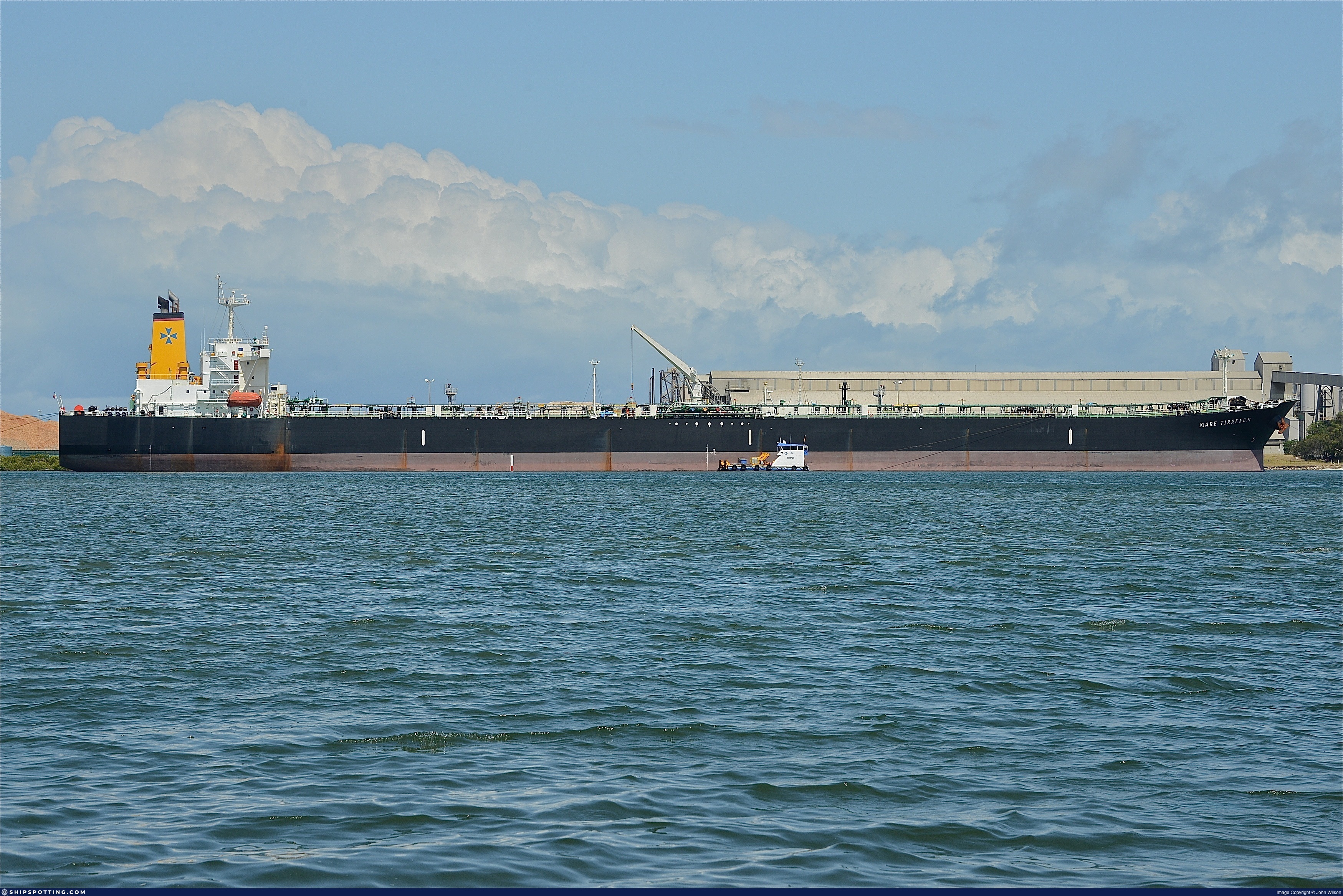
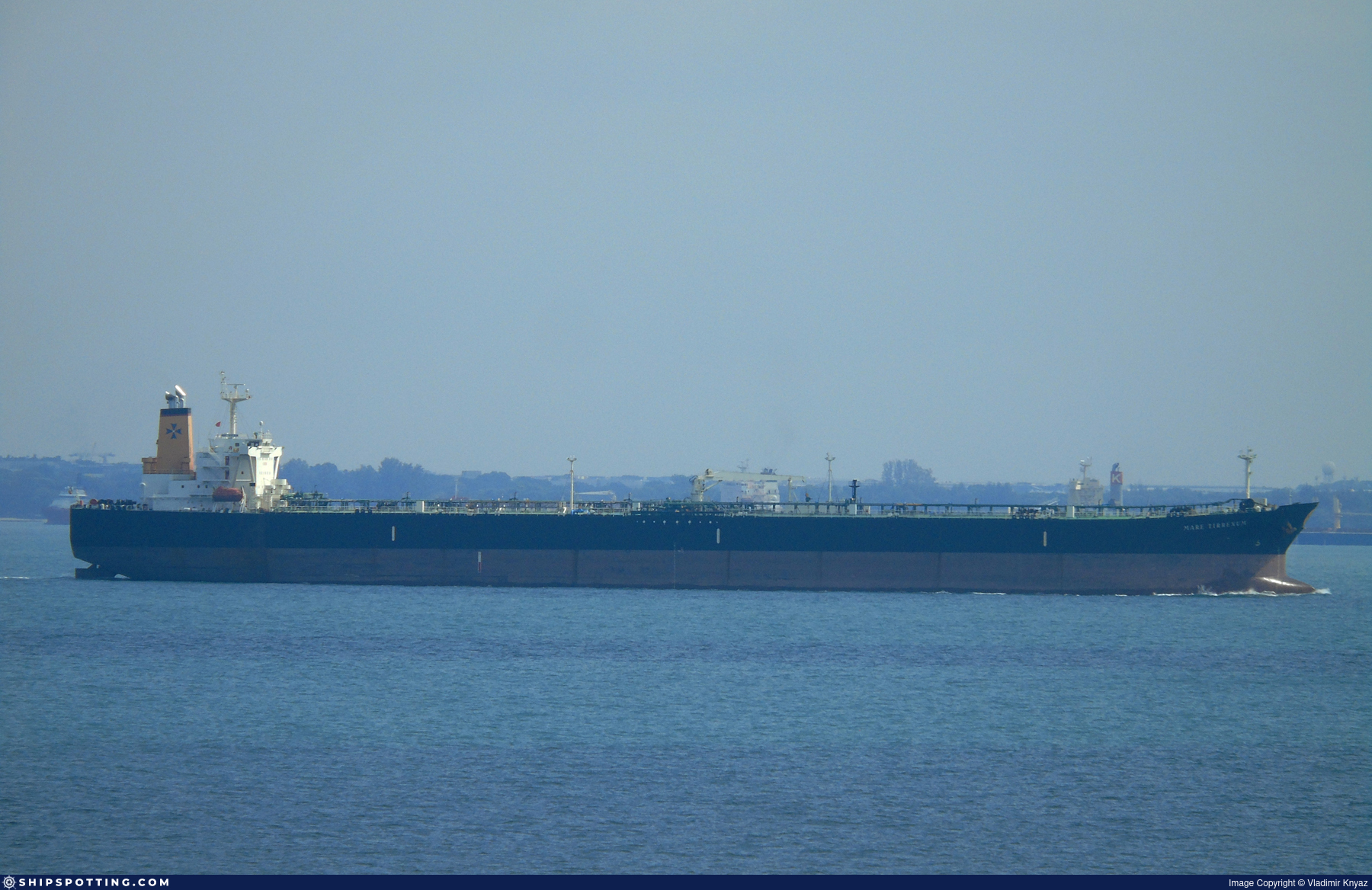
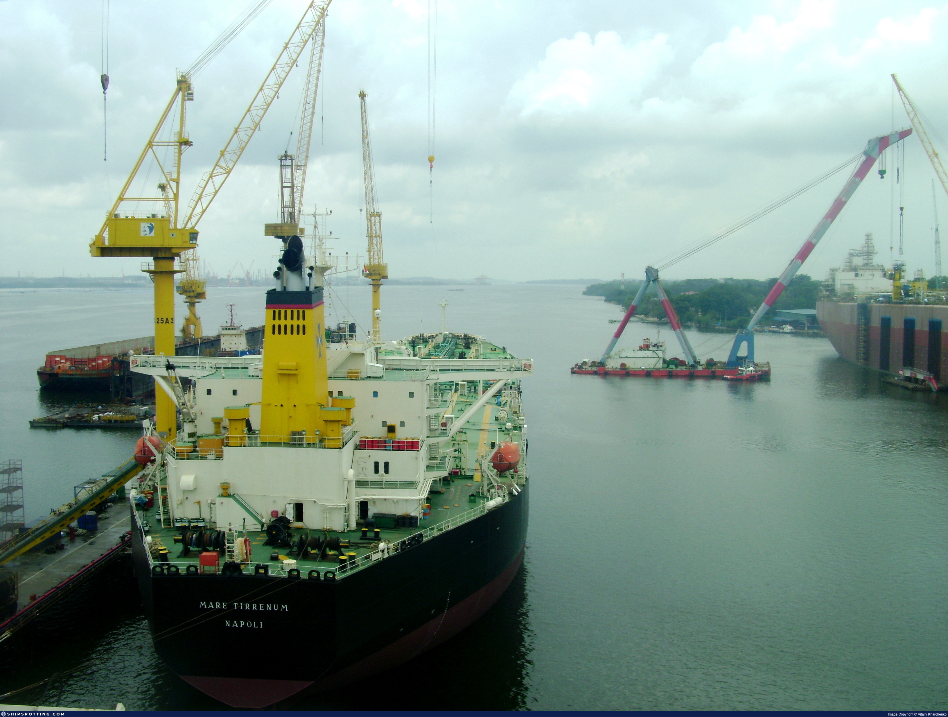
IMO 9260823
Vessel information
Sanctioned by
Company & Ownership
Management & Operations
Classification & Safety
Port State Control (PSC) Inspections
Survey Renewal & Certificates
| Code | Type | Issuer | Issued | Expires |
|---|---|---|---|---|
| 528 | International Ballast Water Management | KOREAN REGISTER (158) | 14/07/2024 | 13/03/2029 |
| 501 | Cargo Ship Safety Construction | KOREAN REGISTER (158) | 14/07/2024 | 04/03/2029 |
Programs & Notes
AU vessel designations (DFAT) | SEMA (Canada) — vessel designations | The Russia (Sanctions) (EU Exit) Regulations 2019 | Added in EU Sanctions Package 18 | (Council Decision (CFSP) 2025/1495, Annex XVI to Decision 2014/512/CFSP) | Press Release | Official Journal
DateOfListing: 2025-07-20 || DateDesignated: 2025-05-09 | Shipping sanctions: (see “Other information”) | Shipping sanctions: a specified ship is prohibited from being provided with access to or having its master or pilot cause it to enter a port in the UK, may have its registration on the UK Ship Register terminated, and a master or pilot of a specified ship may be given a port barring direction, a detention direction, and a port entry direction or a movement direction. | IMO 9260823 (“FIESTA”) is involved in activity whose object or effect is to destabilise Ukraine or undermine or threaten the territorial integrity, sovereignty or independence of Ukraine or to obtain a benefit from or support the Government of Russia. Namely, FIESTA is involved in carrying oil or oil products that originated in Russia from Russia to a third country.
Vessel Changes
AIS Events
50 events detected • 3 zones • Last: Jun 20, 2026
- Gap Duration: 4h 39m
- Last Seen: 2026-06-20T09:47:20+00:00 at 36.6924, 26.6022 (Zone: Northeast Aegean Monitoring Zone)
- Next Seen: 2026-06-20T14:26:18+00:00 at 35.9127, 27.4834
🛰️ Gap Corroboration
These are snapshots that may corroborate presence during the gap. They do not reconstruct a continuous route.
SAR Imagery (Sentinel-1)
Status: ✗ No SAR coverage
No Sentinel-1 scenes covering corridor and time window
VIIRS Thermal Anomaly
Status: ✗ No detections
No VIIRS thermal/light detections in corridor
Show Raw Evidence JSON
{
    "gap_minutes": 279,
    "last_seen": {
        "ts": "2026-06-20T09:47:20+00:00",
        "lat": 36.69239999999999923829818726517260074615478515625,
        "lon": 26.602168299999998879457052680663764476776123046875,
        "sog": 13.699999999999999289457264239899814128875732421875,
        "zone_id": "discovered_107"
    },
    "next_seen": {
        "ts": "2026-06-20T14:26:18+00:00",
        "lat": 35.9127349999999978535925038158893585205078125,
        "lon": 27.4834333000000015090336091816425323486328125,
        "zone_ids": [
            "discovered_075"
        ]
    },
    "gap_enrichment": {
        "status": "not_found",
        "corridor": {
            "start": {
                "lat": 36.69239999999999923829818726517260074615478515625,
                "lon": 26.602168299999998879457052680663764476776123046875,
                "ts": "2026-06-20T09:47:20+00:00"
            },
            "end": {
                "lat": 35.9127349999999978535925038158893585205078125,
                "lon": 27.4834333000000015090336091816425323486328125,
                "ts": "2026-06-20T14:26:18+00:00"
            },
            "bbox": {
                "min_lat": 35.73255499999999784677129355259239673614501953125,
                "min_lon": 26.378592000000001149828676716424524784088134765625,
                "max_lat": 36.872579999999999245119397528469562530517578125,
                "max_lon": 27.707008999999999332430888898670673370361328125
            },
            "buffer_km": 20
        },
        "sar": {
            "status": "not_found",
            "notes": "No Sentinel-1 scenes covering corridor and time window"
        },
        "viirs": {
            "status": "not_found",
            "notes": "No VIIRS thermal\/light detections in corridor"
        },
        "searched_at": "2026-06-20T14:45:01.347056+00:00"
    }
}- Zone: Bosphorus/Dardanelles Approach
- Duration: 2h 19m
- Data Points: 10 AIS positions
- Period: 2026-06-18T09:00:31+00:00 to 2026-06-18T11:19:50+00:00
Show Raw Evidence JSON
{
    "zone_id": "osint_bosphorus",
    "zone_name": "Bosphorus\/Dardanelles Approach",
    "dwell_minutes": 139.30000000000001136868377216160297393798828125,
    "points_in_zone": 10,
    "first_point": {
        "ts": "2026-06-18T09:00:31+00:00",
        "lat": 40.96036000000000143472789204679429531097412109375,
        "lon": 28.948041700000000986392478807829320430755615234375
    },
    "last_point": {
        "ts": "2026-06-18T11:19:50+00:00",
        "lat": 40.87247500000000144382283906452357769012451171875,
        "lon": 28.543009999999998882458385196514427661895751953125
    }
}- Zone: Bosphorus/Dardanelles Approach
- Duration: 2h 24m
- Data Points: 12 AIS positions
- Period: 2026-06-18T08:55:01+00:00 to 2026-06-18T11:19:50+00:00
Show Raw Evidence JSON
{
    "zone_id": "osint_bosphorus",
    "zone_name": "Bosphorus\/Dardanelles Approach",
    "dwell_minutes": 144.80000000000001136868377216160297393798828125,
    "points_in_zone": 12,
    "first_point": {
        "ts": "2026-06-18T08:55:01+00:00",
        "lat": 40.96546169999999875699359108693897724151611328125,
        "lon": 28.962333300000000946283762459643185138702392578125
    },
    "last_point": {
        "ts": "2026-06-18T11:19:50+00:00",
        "lat": 40.87247500000000144382283906452357769012451171875,
        "lon": 28.543009999999998882458385196514427661895751953125
    }
}- Zone: Bosphorus/Dardanelles Approach
- Duration: 4h 6m
- Data Points: 13 AIS positions
- Period: 2026-06-18T07:13:41+00:00 to 2026-06-18T11:19:50+00:00
Show Raw Evidence JSON
{
    "zone_id": "osint_bosphorus",
    "zone_name": "Bosphorus\/Dardanelles Approach",
    "dwell_minutes": 246.19999999999998863131622783839702606201171875,
    "points_in_zone": 13,
    "first_point": {
        "ts": "2026-06-18T07:13:41+00:00",
        "lat": 41.2206417000000016059857443906366825103759765625,
        "lon": 29.125319999999998543671608786098659038543701171875
    },
    "last_point": {
        "ts": "2026-06-18T11:19:50+00:00",
        "lat": 40.87247500000000144382283906452357769012451171875,
        "lon": 28.543009999999998882458385196514427661895751953125
    }
}- Zone: Bosphorus/Dardanelles Approach
- Duration: 5h 17m
- Data Points: 29 AIS positions
- Period: 2026-06-18T06:02:22+00:00 to 2026-06-18T11:19:50+00:00
Show Raw Evidence JSON
{
    "zone_id": "osint_bosphorus",
    "zone_name": "Bosphorus\/Dardanelles Approach",
    "dwell_minutes": 317.5,
    "points_in_zone": 29,
    "first_point": {
        "ts": "2026-06-18T06:02:22+00:00",
        "lat": 41.3711033000000014681063476018607616424560546875,
        "lon": 29.086956700000001774242264218628406524658203125
    },
    "last_point": {
        "ts": "2026-06-18T11:19:50+00:00",
        "lat": 40.87247500000000144382283906452357769012451171875,
        "lon": 28.543009999999998882458385196514427661895751953125
    }
}- Zone: Istanbul Black Sea Surveillance Zone
- Duration: 1h 11m
- Data Points: 17 AIS positions
- Period: 2026-06-18T06:02:22+00:00 to 2026-06-18T07:13:41+00:00
Show Raw Evidence JSON
{
    "zone_id": "discovered_024",
    "zone_name": "Istanbul Black Sea Surveillance Zone",
    "dwell_minutes": 71.2999999999999971578290569595992565155029296875,
    "points_in_zone": 17,
    "first_point": {
        "ts": "2026-06-18T06:02:22+00:00",
        "lat": 41.3711033000000014681063476018607616424560546875,
        "lon": 29.086956700000001774242264218628406524658203125
    },
    "last_point": {
        "ts": "2026-06-18T07:13:41+00:00",
        "lat": 41.2206417000000016059857443906366825103759765625,
        "lon": 29.125319999999998543671608786098659038543701171875
    }
}- Zone: Bosphorus/Dardanelles Approach
- Duration: 6h 16m
- Data Points: 36 AIS positions
- Period: 2026-06-18T05:03:21+00:00 to 2026-06-18T11:19:50+00:00
Show Raw Evidence JSON
{
    "zone_id": "osint_bosphorus",
    "zone_name": "Bosphorus\/Dardanelles Approach",
    "dwell_minutes": 376.5,
    "points_in_zone": 36,
    "first_point": {
        "ts": "2026-06-18T05:03:21+00:00",
        "lat": 41.37202669999999926631062407977879047393798828125,
        "lon": 29.088456699999998278372004278935492038726806640625
    },
    "last_point": {
        "ts": "2026-06-18T11:19:50+00:00",
        "lat": 40.87247500000000144382283906452357769012451171875,
        "lon": 28.543009999999998882458385196514427661895751953125
    }
}- Zone: Istanbul Black Sea Surveillance Zone
- Duration: 2h 10m
- Data Points: 24 AIS positions
- Period: 2026-06-18T05:03:21+00:00 to 2026-06-18T07:13:41+00:00
Show Raw Evidence JSON
{
    "zone_id": "discovered_024",
    "zone_name": "Istanbul Black Sea Surveillance Zone",
    "dwell_minutes": 130.30000000000001136868377216160297393798828125,
    "points_in_zone": 24,
    "first_point": {
        "ts": "2026-06-18T05:03:21+00:00",
        "lat": 41.37202669999999926631062407977879047393798828125,
        "lon": 29.088456699999998278372004278935492038726806640625
    },
    "last_point": {
        "ts": "2026-06-18T07:13:41+00:00",
        "lat": 41.2206417000000016059857443906366825103759765625,
        "lon": 29.125319999999998543671608786098659038543701171875
    }
}- Duration: 2h 6m
- Radius: 491 meters
- Data Points: 22 AIS positions
- Centroid: 41.3723, 29.0883
- Zone: Istanbul Black Sea Surveillance Zone
Show Raw Evidence JSON
{
    "radius_m": 490.8999999999999772626324556767940521240234375,
    "duration_minutes": 126.7000000000000028421709430404007434844970703125,
    "points": 22,
    "centroid": {
        "lat": 41.3722739363636407006197259761393070220947265625,
        "lon": 29.088325381818183501536623225547373294830322265625
    },
    "bbox": {
        "min_lat": 41.3699466999999998506609699688851833343505859375,
        "min_lon": 29.083336700000000263344190898351371288299560546875,
        "max_lat": 41.3733050000000019963408703915774822235107421875,
        "max_lon": 29.089231699999999136707629077136516571044921875
    },
    "zone_id": "discovered_024"
}- Duration: 2h 6m
- Radius: 491 meters
- Data Points: 22 AIS positions
- Centroid: 41.3723, 29.0883
- Zone: Bosphorus/Dardanelles Approach
Show Raw Evidence JSON
{
    "radius_m": 490.8999999999999772626324556767940521240234375,
    "duration_minutes": 126.7000000000000028421709430404007434844970703125,
    "points": 22,
    "centroid": {
        "lat": 41.3722739363636407006197259761393070220947265625,
        "lon": 29.088325381818183501536623225547373294830322265625
    },
    "bbox": {
        "min_lat": 41.3699466999999998506609699688851833343505859375,
        "min_lon": 29.083336700000000263344190898351371288299560546875,
        "max_lat": 41.3733050000000019963408703915774822235107421875,
        "max_lon": 29.089231699999999136707629077136516571044921875
    },
    "zone_id": "osint_bosphorus"
}- Zone: Bosphorus/Dardanelles Approach
- Duration: 6h 37m
- Data Points: 39 AIS positions
- Period: 2026-06-18T04:42:19+00:00 to 2026-06-18T11:19:50+00:00
Show Raw Evidence JSON
{
    "zone_id": "osint_bosphorus",
    "zone_name": "Bosphorus\/Dardanelles Approach",
    "dwell_minutes": 397.5,
    "points_in_zone": 39,
    "first_point": {
        "ts": "2026-06-18T04:42:19+00:00",
        "lat": 41.3728617000000014058969100005924701690673828125,
        "lon": 29.088274999999999437250153278000652790069580078125
    },
    "last_point": {
        "ts": "2026-06-18T11:19:50+00:00",
        "lat": 40.87247500000000144382283906452357769012451171875,
        "lon": 28.543009999999998882458385196514427661895751953125
    }
}- Zone: Istanbul Black Sea Surveillance Zone
- Duration: 3h 13m
- Data Points: 37 AIS positions
- Period: 2026-06-18T04:00:30+00:00 to 2026-06-18T07:13:41+00:00
Show Raw Evidence JSON
{
    "zone_id": "discovered_024",
    "zone_name": "Istanbul Black Sea Surveillance Zone",
    "dwell_minutes": 193.19999999999998863131622783839702606201171875,
    "points_in_zone": 37,
    "first_point": {
        "ts": "2026-06-18T04:00:30+00:00",
        "lat": 41.3732083000000017136699170805513858795166015625,
        "lon": 29.089196699999998685370883322320878505706787109375
    },
    "last_point": {
        "ts": "2026-06-18T07:13:41+00:00",
        "lat": 41.2206417000000016059857443906366825103759765625,
        "lon": 29.125319999999998543671608786098659038543701171875
    }
}- Duration: 3 hours
- Radius: 550 meters
- Data Points: 31 AIS positions
- Centroid: 41.3723, 29.0891
- Zone: Istanbul Black Sea Surveillance Zone
Show Raw Evidence JSON
{
    "radius_m": 550.1000000000000227373675443232059478759765625,
    "duration_minutes": 180.69999999999998863131622783839702606201171875,
    "points": 31,
    "centroid": {
        "lat": 41.37234629032258226288831792771816253662109375,
        "lon": 29.089089141935485116619020118378102779388427734375
    },
    "bbox": {
        "min_lat": 41.3699466999999998506609699688851833343505859375,
        "min_lon": 29.083336700000000263344190898351371288299560546875,
        "max_lat": 41.3733050000000019963408703915774822235107421875,
        "max_lon": 29.0925399999999996225596987642347812652587890625
    },
    "zone_id": "discovered_024"
}- Duration: 3 hours
- Radius: 550 meters
- Data Points: 31 AIS positions
- Centroid: 41.3723, 29.0891
- Zone: Bosphorus/Dardanelles Approach
Show Raw Evidence JSON
{
    "radius_m": 550.1000000000000227373675443232059478759765625,
    "duration_minutes": 180.69999999999998863131622783839702606201171875,
    "points": 31,
    "centroid": {
        "lat": 41.37234629032258226288831792771816253662109375,
        "lon": 29.089089141935485116619020118378102779388427734375
    },
    "bbox": {
        "min_lat": 41.3699466999999998506609699688851833343505859375,
        "min_lon": 29.083336700000000263344190898351371288299560546875,
        "max_lat": 41.3733050000000019963408703915774822235107421875,
        "max_lon": 29.0925399999999996225596987642347812652587890625
    },
    "zone_id": "osint_bosphorus"
}- Zone: Bosphorus/Dardanelles Approach
- Duration: 6h 21m
- Data Points: 52 AIS positions
- Period: 2026-06-18T03:06:31+00:00 to 2026-06-18T09:28:18+00:00
Show Raw Evidence JSON
{
    "zone_id": "osint_bosphorus",
    "zone_name": "Bosphorus\/Dardanelles Approach",
    "dwell_minutes": 381.80000000000001136868377216160297393798828125,
    "points_in_zone": 52,
    "first_point": {
        "ts": "2026-06-18T03:06:31+00:00",
        "lat": 41.37236500000000205545802600681781768798828125,
        "lon": 29.0925399999999996225596987642347812652587890625
    },
    "last_point": {
        "ts": "2026-06-18T09:28:18+00:00",
        "lat": 40.93910329999999930805643089115619659423828125,
        "lon": 28.900781699999999574401954305358231067657470703125
    }
}- Zone: Istanbul Black Sea Surveillance Zone
- Duration: 4h 7m
- Data Points: 46 AIS positions
- Period: 2026-06-18T03:06:31+00:00 to 2026-06-18T07:13:41+00:00
Show Raw Evidence JSON
{
    "zone_id": "discovered_024",
    "zone_name": "Istanbul Black Sea Surveillance Zone",
    "dwell_minutes": 247.19999999999998863131622783839702606201171875,
    "points_in_zone": 46,
    "first_point": {
        "ts": "2026-06-18T03:06:31+00:00",
        "lat": 41.37236500000000205545802600681781768798828125,
        "lon": 29.0925399999999996225596987642347812652587890625
    },
    "last_point": {
        "ts": "2026-06-18T07:13:41+00:00",
        "lat": 41.2206417000000016059857443906366825103759765625,
        "lon": 29.125319999999998543671608786098659038543701171875
    }
}- Duration: 3h 7m
- Radius: 559 meters
- Data Points: 32 AIS positions
- Centroid: 41.3724, 29.0892
- Zone: Istanbul Black Sea Surveillance Zone
Show Raw Evidence JSON
{
    "radius_m": 559.299999999999954525264911353588104248046875,
    "duration_minutes": 187.69999999999998863131622783839702606201171875,
    "points": 32,
    "centroid": {
        "lat": 41.3723591156250023459506337530910968780517578125,
        "lon": 29.08920495000000272511897492222487926483154296875
    },
    "bbox": {
        "min_lat": 41.3699466999999998506609699688851833343505859375,
        "min_lon": 29.083336700000000263344190898351371288299560546875,
        "max_lat": 41.3733050000000019963408703915774822235107421875,
        "max_lon": 29.092794999999998850626070634461939334869384765625
    },
    "zone_id": "discovered_024"
}- Duration: 3h 7m
- Radius: 559 meters
- Data Points: 32 AIS positions
- Centroid: 41.3724, 29.0892
- Zone: Bosphorus/Dardanelles Approach
Show Raw Evidence JSON
{
    "radius_m": 559.299999999999954525264911353588104248046875,
    "duration_minutes": 187.69999999999998863131622783839702606201171875,
    "points": 32,
    "centroid": {
        "lat": 41.3723591156250023459506337530910968780517578125,
        "lon": 29.08920495000000272511897492222487926483154296875
    },
    "bbox": {
        "min_lat": 41.3699466999999998506609699688851833343505859375,
        "min_lon": 29.083336700000000263344190898351371288299560546875,
        "max_lat": 41.3733050000000019963408703915774822235107421875,
        "max_lon": 29.092794999999998850626070634461939334869384765625
    },
    "zone_id": "osint_bosphorus"
}- Zone: Bosphorus/Dardanelles Approach
- Duration: 6h 28m
- Data Points: 53 AIS positions
- Period: 2026-06-18T02:59:31+00:00 to 2026-06-18T09:28:18+00:00
Show Raw Evidence JSON
{
    "zone_id": "osint_bosphorus",
    "zone_name": "Bosphorus\/Dardanelles Approach",
    "dwell_minutes": 388.80000000000001136868377216160297393798828125,
    "points_in_zone": 53,
    "first_point": {
        "ts": "2026-06-18T02:59:31+00:00",
        "lat": 41.372756699999996499172993935644626617431640625,
        "lon": 29.092794999999998850626070634461939334869384765625
    },
    "last_point": {
        "ts": "2026-06-18T09:28:18+00:00",
        "lat": 40.93910329999999930805643089115619659423828125,
        "lon": 28.900781699999999574401954305358231067657470703125
    }
}- Zone: Istanbul Black Sea Surveillance Zone
- Duration: 4h 14m
- Data Points: 47 AIS positions
- Period: 2026-06-18T02:59:31+00:00 to 2026-06-18T07:13:41+00:00
Show Raw Evidence JSON
{
    "zone_id": "discovered_024",
    "zone_name": "Istanbul Black Sea Surveillance Zone",
    "dwell_minutes": 254.19999999999998863131622783839702606201171875,
    "points_in_zone": 47,
    "first_point": {
        "ts": "2026-06-18T02:59:31+00:00",
        "lat": 41.372756699999996499172993935644626617431640625,
        "lon": 29.092794999999998850626070634461939334869384765625
    },
    "last_point": {
        "ts": "2026-06-18T07:13:41+00:00",
        "lat": 41.2206417000000016059857443906366825103759765625,
        "lon": 29.125319999999998543671608786098659038543701171875
    }
}- Duration: 5h 4m
- Radius: 765 meters
- Data Points: 41 AIS positions
- Centroid: 41.3732, 29.0911
- Zone: Istanbul Black Sea Surveillance Zone
Show Raw Evidence JSON
{
    "radius_m": 765.200000000000045474735088646411895751953125,
    "duration_minutes": 304,
    "points": 41,
    "centroid": {
        "lat": 41.373210285365843219551607035100460052490234375,
        "lon": 29.091129841463416738633895874954760074615478515625
    },
    "bbox": {
        "min_lat": 41.3699466999999998506609699688851833343505859375,
        "min_lon": 29.083336700000000263344190898351371288299560546875,
        "max_lat": 41.376744999999999663486960344016551971435546875,
        "max_lon": 29.098981699999999506189851672388613224029541015625
    },
    "zone_id": "discovered_024"
}- Duration: 5h 4m
- Radius: 765 meters
- Data Points: 41 AIS positions
- Centroid: 41.3732, 29.0911
- Zone: Bosphorus/Dardanelles Approach
Show Raw Evidence JSON
{
    "radius_m": 765.200000000000045474735088646411895751953125,
    "duration_minutes": 304,
    "points": 41,
    "centroid": {
        "lat": 41.373210285365843219551607035100460052490234375,
        "lon": 29.091129841463416738633895874954760074615478515625
    },
    "bbox": {
        "min_lat": 41.3699466999999998506609699688851833343505859375,
        "min_lon": 29.083336700000000263344190898351371288299560546875,
        "max_lat": 41.376744999999999663486960344016551971435546875,
        "max_lon": 29.098981699999999506189851672388613224029541015625
    },
    "zone_id": "osint_bosphorus"
}- Zone: Bosphorus/Dardanelles Approach
- Duration: 6h 10m
- Data Points: 56 AIS positions
- Period: 2026-06-18T01:03:11+00:00 to 2026-06-18T07:13:41+00:00
Show Raw Evidence JSON
{
    "zone_id": "osint_bosphorus",
    "zone_name": "Bosphorus\/Dardanelles Approach",
    "dwell_minutes": 370.5,
    "points_in_zone": 56,
    "first_point": {
        "ts": "2026-06-18T01:03:11+00:00",
        "lat": 41.376744999999999663486960344016551971435546875,
        "lon": 29.098981699999999506189851672388613224029541015625
    },
    "last_point": {
        "ts": "2026-06-18T07:13:41+00:00",
        "lat": 41.2206417000000016059857443906366825103759765625,
        "lon": 29.125319999999998543671608786098659038543701171875
    }
}- Zone: Istanbul Black Sea Surveillance Zone
- Duration: 6h 10m
- Data Points: 56 AIS positions
- Period: 2026-06-18T01:03:11+00:00 to 2026-06-18T07:13:41+00:00
Show Raw Evidence JSON
{
    "zone_id": "discovered_024",
    "zone_name": "Istanbul Black Sea Surveillance Zone",
    "dwell_minutes": 370.5,
    "points_in_zone": 56,
    "first_point": {
        "ts": "2026-06-18T01:03:11+00:00",
        "lat": 41.376744999999999663486960344016551971435546875,
        "lon": 29.098981699999999506189851672388613224029541015625
    },
    "last_point": {
        "ts": "2026-06-18T07:13:41+00:00",
        "lat": 41.2206417000000016059857443906366825103759765625,
        "lon": 29.125319999999998543671608786098659038543701171875
    }
}- Zone: Istanbul Black Sea Surveillance Zone
- Duration: 6h 31m
- Data Points: 59 AIS positions
- Period: 2026-06-18T00:42:11+00:00 to 2026-06-18T07:13:41+00:00
Show Raw Evidence JSON
{
    "zone_id": "discovered_024",
    "zone_name": "Istanbul Black Sea Surveillance Zone",
    "dwell_minutes": 391.5,
    "points_in_zone": 59,
    "first_point": {
        "ts": "2026-06-18T00:42:11+00:00",
        "lat": 41.37813330000000178188201971352100372314453125,
        "lon": 29.09991169999999982564986567012965679168701171875
    },
    "last_point": {
        "ts": "2026-06-18T07:13:41+00:00",
        "lat": 41.2206417000000016059857443906366825103759765625,
        "lon": 29.125319999999998543671608786098659038543701171875
    }
}- Zone: Bosphorus/Dardanelles Approach
- Duration: 6h 31m
- Data Points: 59 AIS positions
- Period: 2026-06-18T00:42:11+00:00 to 2026-06-18T07:13:41+00:00
Show Raw Evidence JSON
{
    "zone_id": "osint_bosphorus",
    "zone_name": "Bosphorus\/Dardanelles Approach",
    "dwell_minutes": 391.5,
    "points_in_zone": 59,
    "first_point": {
        "ts": "2026-06-18T00:42:11+00:00",
        "lat": 41.37813330000000178188201971352100372314453125,
        "lon": 29.09991169999999982564986567012965679168701171875
    },
    "last_point": {
        "ts": "2026-06-18T07:13:41+00:00",
        "lat": 41.2206417000000016059857443906366825103759765625,
        "lon": 29.125319999999998543671608786098659038543701171875
    }
}- Duration: 5h 38m
- Radius: 881 meters
- Data Points: 48 AIS positions
- Centroid: 41.3740, 29.0924
- Zone: Istanbul Black Sea Surveillance Zone
Show Raw Evidence JSON
{
    "radius_m": 880.6000000000000227373675443232059478759765625,
    "duration_minutes": 338,
    "points": 48,
    "centroid": {
        "lat": 41.37395746666665985458166687749326229095458984375,
        "lon": 29.0924166041666723003800143487751483917236328125
    },
    "bbox": {
        "min_lat": 41.3699466999999998506609699688851833343505859375,
        "min_lon": 29.083336700000000263344190898351371288299560546875,
        "max_lat": 41.3791317000000020698280422948300838470458984375,
        "max_lon": 29.10018170000000026220732252113521099090576171875
    },
    "zone_id": "discovered_024"
}- Duration: 5h 38m
- Radius: 881 meters
- Data Points: 48 AIS positions
- Centroid: 41.3740, 29.0924
- Zone: Bosphorus/Dardanelles Approach
Show Raw Evidence JSON
{
    "radius_m": 880.6000000000000227373675443232059478759765625,
    "duration_minutes": 338,
    "points": 48,
    "centroid": {
        "lat": 41.37395746666665985458166687749326229095458984375,
        "lon": 29.0924166041666723003800143487751483917236328125
    },
    "bbox": {
        "min_lat": 41.3699466999999998506609699688851833343505859375,
        "min_lon": 29.083336700000000263344190898351371288299560546875,
        "max_lat": 41.3791317000000020698280422948300838470458984375,
        "max_lon": 29.10018170000000026220732252113521099090576171875
    },
    "zone_id": "osint_bosphorus"
}- Duration: 6h 23m
- Radius: 1,553 meters
- Data Points: 40 AIS positions
- Centroid: 41.3749, 29.0937
- Zone: Istanbul Black Sea Surveillance Zone
Show Raw Evidence JSON
{
    "radius_m": 1552.59999999999990905052982270717620849609375,
    "duration_minutes": 383.8999999999999772626324556767940521240234375,
    "points": 40,
    "centroid": {
        "lat": 41.3749233774999964907692628912627696990966796875,
        "lon": 29.09368558999999976322214934043586254119873046875
    },
    "bbox": {
        "min_lat": 41.37197499999999905639924691058695316314697265625,
        "min_lon": 29.088274999999999437250153278000652790069580078125,
        "max_lat": 41.38700000000000045474735088646411895751953125,
        "max_lon": 29.10303499999999843339537619613111019134521484375
    },
    "zone_id": "discovered_024"
}- Duration: 6h 23m
- Radius: 1,553 meters
- Data Points: 40 AIS positions
- Centroid: 41.3749, 29.0937
- Zone: Bosphorus/Dardanelles Approach
Show Raw Evidence JSON
{
    "radius_m": 1552.59999999999990905052982270717620849609375,
    "duration_minutes": 383.8999999999999772626324556767940521240234375,
    "points": 40,
    "centroid": {
        "lat": 41.3749233774999964907692628912627696990966796875,
        "lon": 29.09368558999999976322214934043586254119873046875
    },
    "bbox": {
        "min_lat": 41.37197499999999905639924691058695316314697265625,
        "min_lon": 29.088274999999999437250153278000652790069580078125,
        "max_lat": 41.38700000000000045474735088646411895751953125,
        "max_lon": 29.10303499999999843339537619613111019134521484375
    },
    "zone_id": "osint_bosphorus"
}- Zone: Bosphorus/Dardanelles Approach
- Duration: 6h 23m
- Data Points: 40 AIS positions
- Period: 2026-06-17T22:29:14+00:00 to 2026-06-18T04:53:11+00:00
Show Raw Evidence JSON
{
    "zone_id": "osint_bosphorus",
    "zone_name": "Bosphorus\/Dardanelles Approach",
    "dwell_minutes": 383.8999999999999772626324556767940521240234375,
    "points_in_zone": 40,
    "first_point": {
        "ts": "2026-06-17T22:29:14+00:00",
        "lat": 41.38700000000000045474735088646411895751953125,
        "lon": 29.10303499999999843339537619613111019134521484375
    },
    "last_point": {
        "ts": "2026-06-18T04:53:11+00:00",
        "lat": 41.37242169999999674701030016876757144927978515625,
        "lon": 29.088319999999999510009729419834911823272705078125
    }
}- Zone: Istanbul Black Sea Surveillance Zone
- Duration: 6h 23m
- Data Points: 40 AIS positions
- Period: 2026-06-17T22:29:14+00:00 to 2026-06-18T04:53:11+00:00
Show Raw Evidence JSON
{
    "zone_id": "discovered_024",
    "zone_name": "Istanbul Black Sea Surveillance Zone",
    "dwell_minutes": 383.8999999999999772626324556767940521240234375,
    "points_in_zone": 40,
    "first_point": {
        "ts": "2026-06-17T22:29:14+00:00",
        "lat": 41.38700000000000045474735088646411895751953125,
        "lon": 29.10303499999999843339537619613111019134521484375
    },
    "last_point": {
        "ts": "2026-06-18T04:53:11+00:00",
        "lat": 41.37242169999999674701030016876757144927978515625,
        "lon": 29.088319999999999510009729419834911823272705078125
    }
}- Duration: 6h 30m
- Radius: 1,666 meters
- Data Points: 36 AIS positions
- Centroid: 41.3760, 29.0951
- Zone: Istanbul Black Sea Surveillance Zone
Show Raw Evidence JSON
{
    "radius_m": 1665.90000000000009094947017729282379150390625,
    "duration_minutes": 390.80000000000001136868377216160297393798828125,
    "points": 36,
    "centroid": {
        "lat": 41.37604444722222751806839369237422943115234375,
        "lon": 29.095138572222221995389190851710736751556396484375
    },
    "bbox": {
        "min_lat": 41.37197499999999905639924691058695316314697265625,
        "min_lon": 29.08849670000000031677700462751090526580810546875,
        "max_lat": 41.3895432999999997036866261623799800872802734375,
        "max_lon": 29.103821700000001015951056615449488162994384765625
    },
    "zone_id": "discovered_024"
}- Duration: 6h 30m
- Radius: 1,666 meters
- Data Points: 36 AIS positions
- Centroid: 41.3760, 29.0951
- Zone: Bosphorus/Dardanelles Approach
Show Raw Evidence JSON
{
    "radius_m": 1665.90000000000009094947017729282379150390625,
    "duration_minutes": 390.80000000000001136868377216160297393798828125,
    "points": 36,
    "centroid": {
        "lat": 41.37604444722222751806839369237422943115234375,
        "lon": 29.095138572222221995389190851710736751556396484375
    },
    "bbox": {
        "min_lat": 41.37197499999999905639924691058695316314697265625,
        "min_lon": 29.08849670000000031677700462751090526580810546875,
        "max_lat": 41.3895432999999997036866261623799800872802734375,
        "max_lon": 29.103821700000001015951056615449488162994384765625
    },
    "zone_id": "osint_bosphorus"
}- Zone: Bosphorus/Dardanelles Approach
- Duration: 6h 30m
- Data Points: 36 AIS positions
- Period: 2026-06-17T21:56:05+00:00 to 2026-06-18T04:26:50+00:00
Show Raw Evidence JSON
{
    "zone_id": "osint_bosphorus",
    "zone_name": "Bosphorus\/Dardanelles Approach",
    "dwell_minutes": 390.80000000000001136868377216160297393798828125,
    "points_in_zone": 36,
    "first_point": {
        "ts": "2026-06-17T21:56:05+00:00",
        "lat": 41.3895432999999997036866261623799800872802734375,
        "lon": 29.103821700000001015951056615449488162994384765625
    },
    "last_point": {
        "ts": "2026-06-18T04:26:50+00:00",
        "lat": 41.37322830000000095651557785458862781524658203125,
        "lon": 29.08849670000000031677700462751090526580810546875
    }
}- Zone: Istanbul Black Sea Surveillance Zone
- Duration: 6h 30m
- Data Points: 36 AIS positions
- Period: 2026-06-17T21:56:05+00:00 to 2026-06-18T04:26:50+00:00
Show Raw Evidence JSON
{
    "zone_id": "discovered_024",
    "zone_name": "Istanbul Black Sea Surveillance Zone",
    "dwell_minutes": 390.80000000000001136868377216160297393798828125,
    "points_in_zone": 36,
    "first_point": {
        "ts": "2026-06-17T21:56:05+00:00",
        "lat": 41.3895432999999997036866261623799800872802734375,
        "lon": 29.103821700000001015951056615449488162994384765625
    },
    "last_point": {
        "ts": "2026-06-18T04:26:50+00:00",
        "lat": 41.37322830000000095651557785458862781524658203125,
        "lon": 29.08849670000000031677700462751090526580810546875
    }
}- Duration: 2h 28m
- Radius: 877 meters
- Data Points: 30 AIS positions
- Centroid: 41.3948, 29.1010
- Zone: Istanbul Black Sea Surveillance Zone
Show Raw Evidence JSON
{
    "radius_m": 877.299999999999954525264911353588104248046875,
    "duration_minutes": 148.69999999999998863131622783839702606201171875,
    "points": 30,
    "centroid": {
        "lat": 41.39475144000000028654540074057877063751220703125,
        "lon": 29.101015376666669709493362461216747760772705078125
    },
    "bbox": {
        "min_lat": 41.38700000000000045474735088646411895751953125,
        "min_lon": 29.09900999999999982037479639984667301177978515625,
        "max_lat": 41.39856329999999928759280010126531124114990234375,
        "max_lon": 29.103821700000001015951056615449488162994384765625
    },
    "zone_id": "discovered_024"
}- Duration: 2h 28m
- Radius: 877 meters
- Data Points: 30 AIS positions
- Centroid: 41.3948, 29.1010
- Zone: Bosphorus/Dardanelles Approach
Show Raw Evidence JSON
{
    "radius_m": 877.299999999999954525264911353588104248046875,
    "duration_minutes": 148.69999999999998863131622783839702606201171875,
    "points": 30,
    "centroid": {
        "lat": 41.39475144000000028654540074057877063751220703125,
        "lon": 29.101015376666669709493362461216747760772705078125
    },
    "bbox": {
        "min_lat": 41.38700000000000045474735088646411895751953125,
        "min_lon": 29.09900999999999982037479639984667301177978515625,
        "max_lat": 41.39856329999999928759280010126531124114990234375,
        "max_lon": 29.103821700000001015951056615449488162994384765625
    },
    "zone_id": "osint_bosphorus"
}- Zone: Istanbul Black Sea Surveillance Zone
- Duration: 6h 32m
- Data Points: 37 AIS positions
- Period: 2026-06-17T20:51:54+00:00 to 2026-06-18T03:24:12+00:00
Show Raw Evidence JSON
{
    "zone_id": "discovered_024",
    "zone_name": "Istanbul Black Sea Surveillance Zone",
    "dwell_minutes": 392.30000000000001136868377216160297393798828125,
    "points_in_zone": 37,
    "first_point": {
        "ts": "2026-06-17T20:51:54+00:00",
        "lat": 41.39591169999999920037225820124149322509765625,
        "lon": 29.100803299999999040892362245358526706695556640625
    },
    "last_point": {
        "ts": "2026-06-18T03:24:12+00:00",
        "lat": 41.37216169999999948458935250528156757354736328125,
        "lon": 29.09174829999999900564944255165755748748779296875
    }
}- Zone: Bosphorus/Dardanelles Approach
- Duration: 6h 32m
- Data Points: 37 AIS positions
- Period: 2026-06-17T20:51:54+00:00 to 2026-06-18T03:24:12+00:00
Show Raw Evidence JSON
{
    "zone_id": "osint_bosphorus",
    "zone_name": "Bosphorus\/Dardanelles Approach",
    "dwell_minutes": 392.30000000000001136868377216160297393798828125,
    "points_in_zone": 37,
    "first_point": {
        "ts": "2026-06-17T20:51:54+00:00",
        "lat": 41.39591169999999920037225820124149322509765625,
        "lon": 29.100803299999999040892362245358526706695556640625
    },
    "last_point": {
        "ts": "2026-06-18T03:24:12+00:00",
        "lat": 41.37216169999999948458935250528156757354736328125,
        "lon": 29.09174829999999900564944255165755748748779296875
    }
}- Zone: Bosphorus/Dardanelles Approach
- Duration: 6h 3m
- Data Points: 52 AIS positions
- Period: 2026-06-17T19:29:24+00:00 to 2026-06-18T01:32:43+00:00
Show Raw Evidence JSON
{
    "zone_id": "osint_bosphorus",
    "zone_name": "Bosphorus\/Dardanelles Approach",
    "dwell_minutes": 363.30000000000001136868377216160297393798828125,
    "points_in_zone": 52,
    "first_point": {
        "ts": "2026-06-17T19:29:24+00:00",
        "lat": 41.4010650000000026693669497035443782806396484375,
        "lon": 29.09789669999999972560544847510755062103271484375
    },
    "last_point": {
        "ts": "2026-06-18T01:32:43+00:00",
        "lat": 41.3757317000000028883732738904654979705810546875,
        "lon": 29.096848300000001330545273958705365657806396484375
    }
}- Zone: Istanbul Black Sea Surveillance Zone
- Duration: 6h 3m
- Data Points: 52 AIS positions
- Period: 2026-06-17T19:29:24+00:00 to 2026-06-18T01:32:43+00:00
Show Raw Evidence JSON
{
    "zone_id": "discovered_024",
    "zone_name": "Istanbul Black Sea Surveillance Zone",
    "dwell_minutes": 363.30000000000001136868377216160297393798828125,
    "points_in_zone": 52,
    "first_point": {
        "ts": "2026-06-17T19:29:24+00:00",
        "lat": 41.4010650000000026693669497035443782806396484375,
        "lon": 29.09789669999999972560544847510755062103271484375
    },
    "last_point": {
        "ts": "2026-06-18T01:32:43+00:00",
        "lat": 41.3757317000000028883732738904654979705810546875,
        "lon": 29.096848300000001330545273958705365657806396484375
    }
}- Duration: 2h 59m
- Radius: 979 meters
- Data Points: 36 AIS positions
- Centroid: 41.3956, 29.1006
- Zone: Istanbul Black Sea Surveillance Zone
Show Raw Evidence JSON
{
    "radius_m": 978.6000000000000227373675443232059478759765625,
    "duration_minutes": 179.80000000000001136868377216160297393798828125,
    "points": 36,
    "centroid": {
        "lat": 41.395621711111090235135634429752826690673828125,
        "lon": 29.1006181388888904848499805666506290435791015625
    },
    "bbox": {
        "min_lat": 41.38700000000000045474735088646411895751953125,
        "min_lon": 29.09789669999999972560544847510755062103271484375,
        "max_lat": 41.4010650000000026693669497035443782806396484375,
        "max_lon": 29.103821700000001015951056615449488162994384765625
    },
    "zone_id": "discovered_024"
}- Duration: 2h 59m
- Radius: 979 meters
- Data Points: 36 AIS positions
- Centroid: 41.3956, 29.1006
- Zone: Bosphorus/Dardanelles Approach
Show Raw Evidence JSON
{
    "radius_m": 978.6000000000000227373675443232059478759765625,
    "duration_minutes": 179.80000000000001136868377216160297393798828125,
    "points": 36,
    "centroid": {
        "lat": 41.395621711111090235135634429752826690673828125,
        "lon": 29.1006181388888904848499805666506290435791015625
    },
    "bbox": {
        "min_lat": 41.38700000000000045474735088646411895751953125,
        "min_lon": 29.09789669999999972560544847510755062103271484375,
        "max_lat": 41.4010650000000026693669497035443782806396484375,
        "max_lon": 29.103821700000001015951056615449488162994384765625
    },
    "zone_id": "osint_bosphorus"
}- Zone: Istanbul Black Sea Surveillance Zone
- Duration: 6h 31m
- Data Points: 36 AIS positions
- Period: 2026-06-17T15:40:27+00:00 to 2026-06-17T22:11:55+00:00
Show Raw Evidence JSON
{
    "zone_id": "discovered_024",
    "zone_name": "Istanbul Black Sea Surveillance Zone",
    "dwell_minutes": 391.5,
    "points_in_zone": 36,
    "first_point": {
        "ts": "2026-06-17T15:40:27+00:00",
        "lat": 41.414043300000003000604920089244842529296875,
        "lon": 29.074169999999998736939232912845909595489501953125
    },
    "last_point": {
        "ts": "2026-06-17T22:11:55+00:00",
        "lat": 41.3883067000000011148586054332554340362548828125,
        "lon": 29.10357330000000075642674346454441547393798828125
    }
}- Zone: Bosphorus/Dardanelles Approach
- Duration: 6h 31m
- Data Points: 36 AIS positions
- Period: 2026-06-17T15:40:27+00:00 to 2026-06-17T22:11:55+00:00
Show Raw Evidence JSON
{
    "zone_id": "osint_bosphorus",
    "zone_name": "Bosphorus\/Dardanelles Approach",
    "dwell_minutes": 391.5,
    "points_in_zone": 36,
    "first_point": {
        "ts": "2026-06-17T15:40:27+00:00",
        "lat": 41.414043300000003000604920089244842529296875,
        "lon": 29.074169999999998736939232912845909595489501953125
    },
    "last_point": {
        "ts": "2026-06-17T22:11:55+00:00",
        "lat": 41.3883067000000011148586054332554340362548828125,
        "lon": 29.10357330000000075642674346454441547393798828125
    }
}- Zone: Bosphorus/Dardanelles Approach
- Duration: 6h 35m
- Data Points: 38 AIS positions
- Period: 2026-06-17T14:44:19+00:00 to 2026-06-17T21:19:54+00:00
Show Raw Evidence JSON
{
    "zone_id": "osint_bosphorus",
    "zone_name": "Bosphorus\/Dardanelles Approach",
    "dwell_minutes": 395.6000000000000227373675443232059478759765625,
    "points_in_zone": 38,
    "first_point": {
        "ts": "2026-06-17T14:44:19+00:00",
        "lat": 41.41755330000000157042450155131518840789794921875,
        "lon": 29.073010000000000019326762412674725055694580078125
    },
    "last_point": {
        "ts": "2026-06-17T21:19:54+00:00",
        "lat": 41.3933267000000029156581149436533451080322265625,
        "lon": 29.101858299999999957208274281583726406097412109375
    }
}- Zone: Istanbul Black Sea Surveillance Zone
- Duration: 6h 35m
- Data Points: 38 AIS positions
- Period: 2026-06-17T14:44:19+00:00 to 2026-06-17T21:19:54+00:00
Show Raw Evidence JSON
{
    "zone_id": "discovered_024",
    "zone_name": "Istanbul Black Sea Surveillance Zone",
    "dwell_minutes": 395.6000000000000227373675443232059478759765625,
    "points_in_zone": 38,
    "first_point": {
        "ts": "2026-06-17T14:44:19+00:00",
        "lat": 41.41755330000000157042450155131518840789794921875,
        "lon": 29.073010000000000019326762412674725055694580078125
    },
    "last_point": {
        "ts": "2026-06-17T21:19:54+00:00",
        "lat": 41.3933267000000029156581149436533451080322265625,
        "lon": 29.101858299999999957208274281583726406097412109375
    }
}- Zone: Istanbul Black Sea Surveillance Zone
- Duration: 6h 36m
- Data Points: 20 AIS positions
- Period: 2026-06-17T13:32:08+00:00 to 2026-06-17T20:08:24+00:00
Show Raw Evidence JSON
{
    "zone_id": "discovered_024",
    "zone_name": "Istanbul Black Sea Surveillance Zone",
    "dwell_minutes": 396.30000000000001136868377216160297393798828125,
    "points_in_zone": 20,
    "first_point": {
        "ts": "2026-06-17T13:32:08+00:00",
        "lat": 41.4133250000000003865352482534945011138916015625,
        "lon": 29.07256830000000036307028494775295257568359375
    },
    "last_point": {
        "ts": "2026-06-17T20:08:24+00:00",
        "lat": 41.39817000000000035697667044587433338165283203125,
        "lon": 29.099141700000000554382495465688407421112060546875
    }
}- Zone: Bosphorus/Dardanelles Approach
- Duration: 6h 36m
- Data Points: 20 AIS positions
- Period: 2026-06-17T13:32:08+00:00 to 2026-06-17T20:08:24+00:00
Show Raw Evidence JSON
{
    "zone_id": "osint_bosphorus",
    "zone_name": "Bosphorus\/Dardanelles Approach",
    "dwell_minutes": 396.30000000000001136868377216160297393798828125,
    "points_in_zone": 20,
    "first_point": {
        "ts": "2026-06-17T13:32:08+00:00",
        "lat": 41.4133250000000003865352482534945011138916015625,
        "lon": 29.07256830000000036307028494775295257568359375
    },
    "last_point": {
        "ts": "2026-06-17T20:08:24+00:00",
        "lat": 41.39817000000000035697667044587433338165283203125,
        "lon": 29.099141700000000554382495465688407421112060546875
    }
}Source snapshot
| Sanctioner | As of | Entity ID |
|---|---|---|
| 🇬🇧 UK | 2025-09-29 | 9260823 |
We mirror official lists; always verify at the source.
Sanctioned on the same day
- ADHARA · IMO 9353125 🇦🇺 AU🇨🇦 CA🇪🇺 EU🇬🇧 UK
- AKAR WEST · IMO 9258167 🇦🇺 AU🇨🇦 CA🇪🇺 EU🇳🇿 NZ🇬🇧 UK
- ATLANTICOS · IMO 9282986 🇦🇺 AU🇨🇦 CA🇪🇺 EU🇳🇿 NZ🇬🇧 UK
- BELOMOR · IMO 9384435 🇦🇺 AU🇨🇦 CA🇪🇺 EU🇳🇿 NZ🇬🇧 UK
- Blue · IMO 9236353 🇦🇺 AU🇨🇦 CA🇪🇺 EU🇳🇿 NZ🇬🇧 UK
- Blue Talu · IMO 9334557 🇦🇺 AU🇨🇦 CA🇪🇺 EU🇬🇧 UK
- C Viking · IMO 9261657 🇦🇺 AU🇨🇦 CA🇪🇺 EU🇳🇿 NZ🇬🇧 UK
- CAVELA · IMO 9259733 🇦🇺 AU🇨🇦 CA🇪🇺 EU🇬🇧 UK